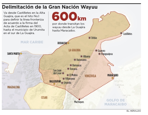
Povos
- WAYUU
Citation
"Las fronteras no existen para la Gran Nación Wayuu." El Heraldo. Last modified September 6;2015. Accessed July 21;2021. https://www.elheraldo.co/nacional/las-fronteras-no-existen-para-la-gran-nacion-wayuu-215788.
Sachamama
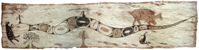
Obra de arte
A Map of part of Yucatan or of that Part of the Eastern Shore Within the Bay of Honduras Alloted to Great Britain for the Cutting of Logwood, in consequence of the Convention Signed with Spain on the 14th July 1786.
Mapa 1700
Outlines of the physical and political division of South America: Delineated by A. Arrowsmith partly from scarce and original documents, published before the year 1806 but principally from manuscript maps & surveys made between the years 1771 and 1806, corrected from accurate astronomical observations to 1810.
Mapa 1800 - 1899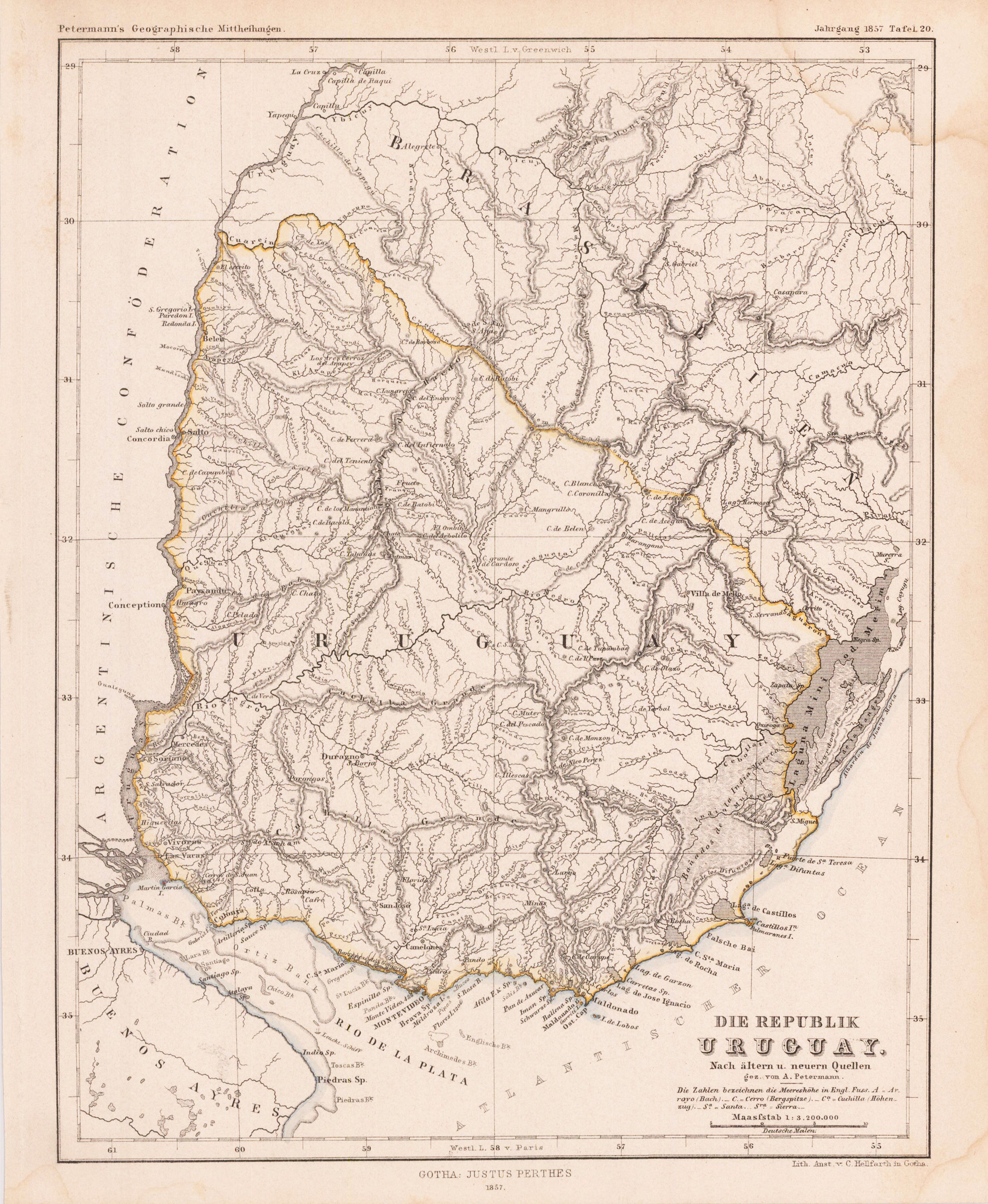
DIE REPUBLIK URUGUAY
Mapa 1857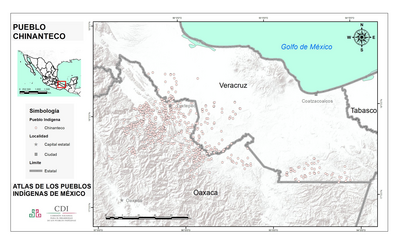
PUEBLO CHINANTECO
Mapa 2020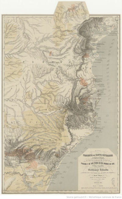
MAPPA da PROVINCIA DE SANTA CATHARINA do imperio do Brasil come as partes adjacentes das Provincias PARANA E DE SAO PEDRO DO RIO GRANDE DO SUL
Mapa 1859 - 1860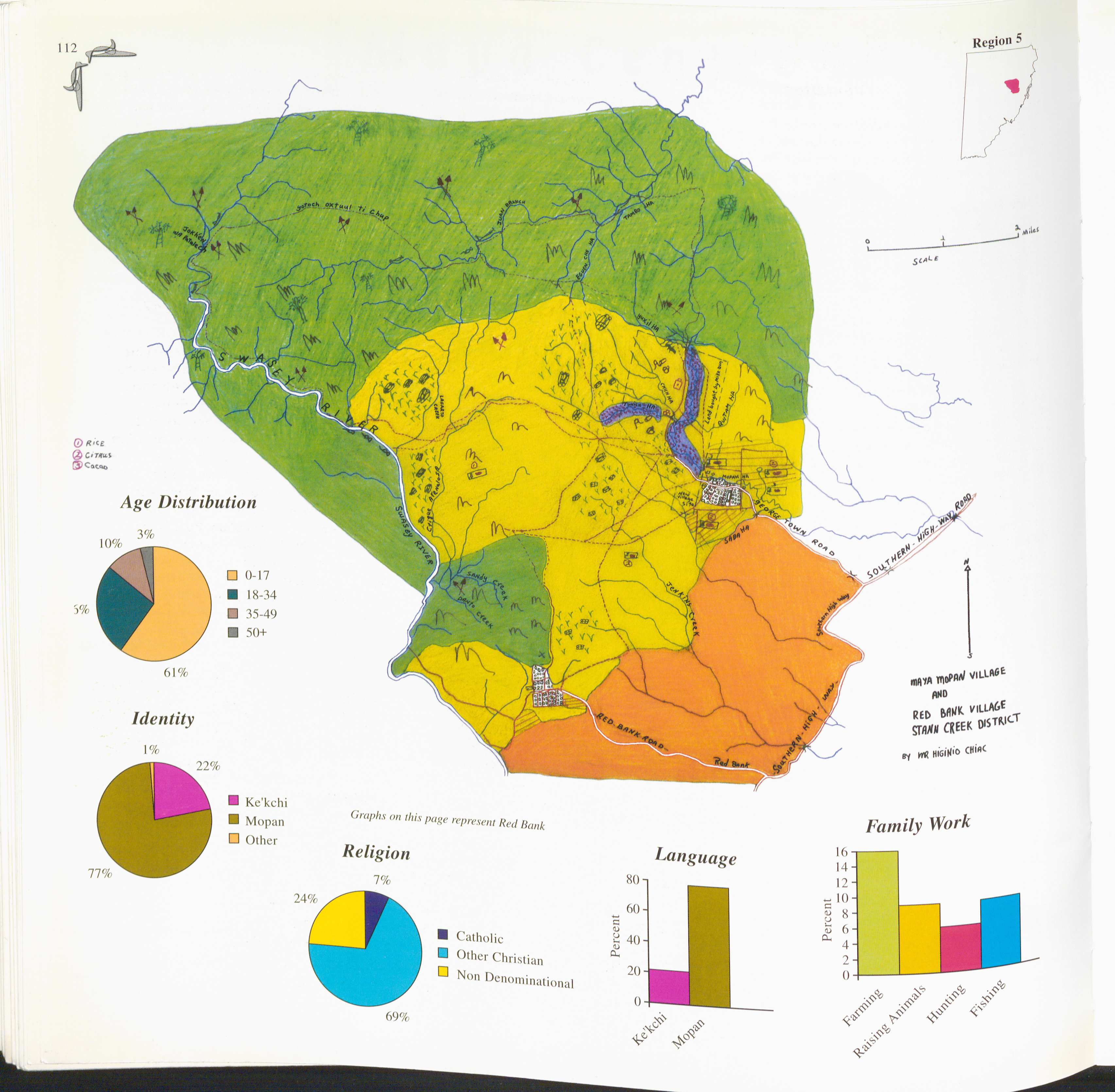
Red Bank and Maya Mopan
Mapa 1997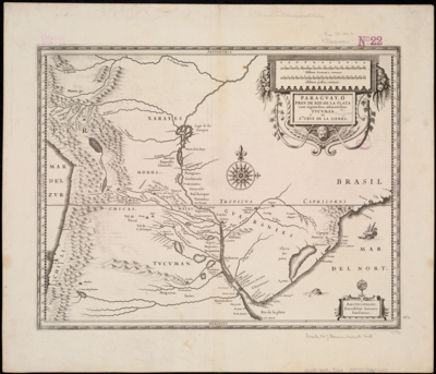
Paraguay;ó prov. de Rio de la Plata cum regionibus adiacentibus Tucuman et Sta. Cruz de la Sierra
Mapa 1600 - 1699