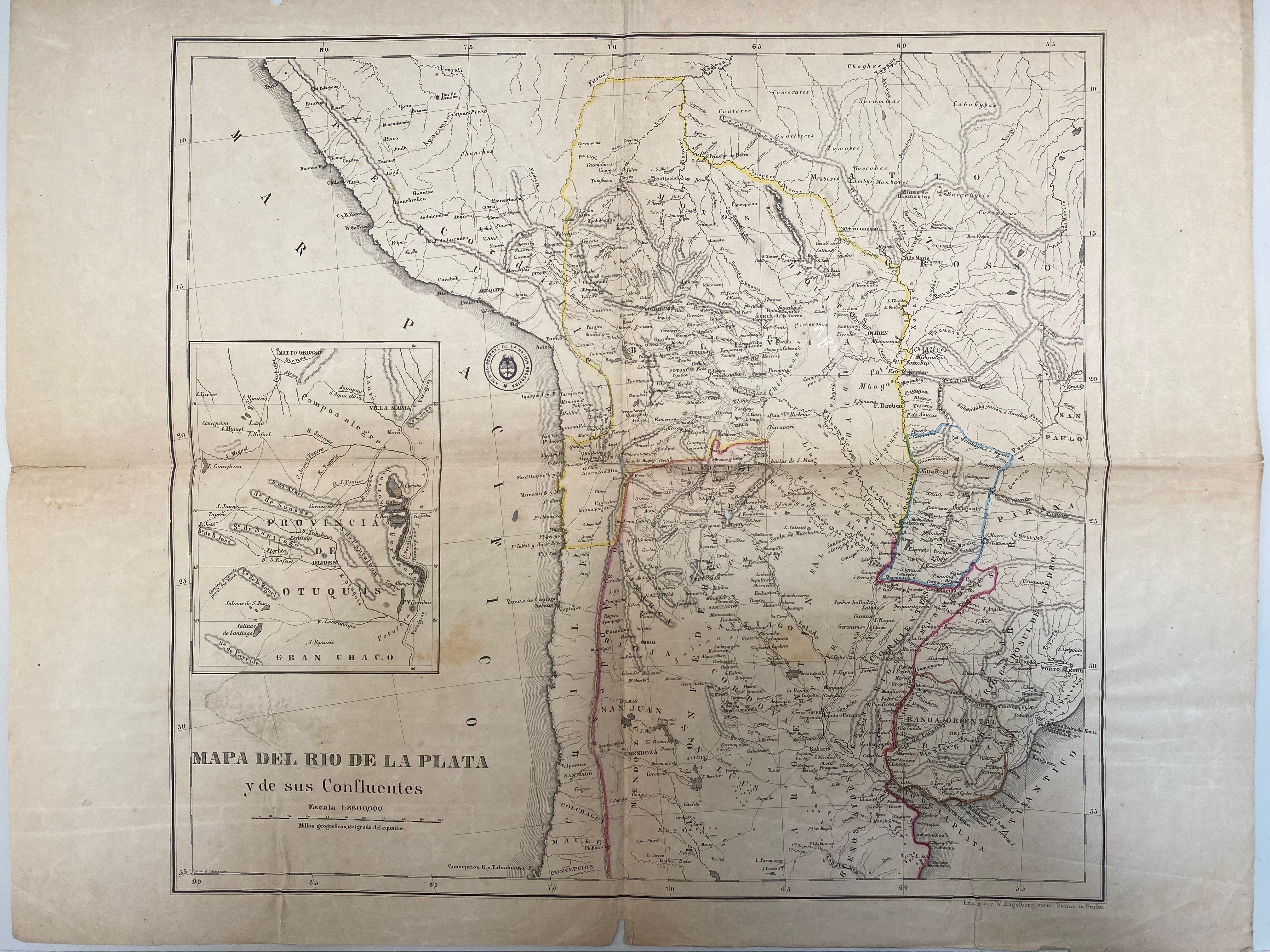
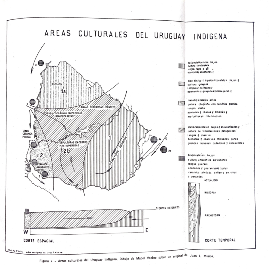
Dispossesions in the Americas

Dispossesions in the Americas

  • Lar
  • Explorar
  • Autores
  • Sobre
  • Arte
  • Corpos
  • Currículos
  • Patrimônio Cultural
  • Mapas
  • Territórios
Voltar à seção Explorar

Lendo em Inglês

Mapa -500 - 1965

Areas culturales del Uruguay indígena

  • MUNOA, JUAN IGNACIO

Publicado: 1965

  • Baixar Imagens
  • Baixar Imagens

Lendo em Espanhola

Mapa -500 - 1965

Areas culturales del Uruguay indígena

  • MUNOA, JUAN IGNACIO

Publicado: 1965

  • Baixar Imagens
  • Baixar Imagens
Mapa -500 - 1965

Areas culturales del Uruguay indígena

  • MUNOA, JUAN IGNACIO

Publicado: 1965

  • Baixar Imagens

Povos

  • ARACHANES
  • GUYANAS
  • CHANAS
  • CHARRUAS
  • GUENOA-MINUANES
  • YAROS
  • BOHANES
  • GUARANI
  • TUPI

Citation

Ignacio Muñoa, Juan, and Daniel Vidart. "Los Pueblos Prehistóricos del Territorio Uruguayo." Cuaderno Antropológicos 3 (1965): 51. Accessed March 6, 2022. https://babel.hathitrust.org/cgi/pt?id=txu.059173023432541&view=1up&seq=3&skin=2021.

  • Baixar Imagens

Itens Relacionados

Mapa de la Republica de Guatemala, America Central

Mapa de la Republica de Guatemala, America Central

Mapa 1880 - 1900
BRASILIA qua parte paret BELGIS

BRASILIA qua parte paret BELGIS

Mapa 1644
Union des deux ocʹeans Atlantique et Pacifique;par le transit ouvert à travers la rʹepublique De Nicaragua : carte dʹetaillʹee des cinq dʹepartements avec indication des principaux tracʹes du Canal Interocʹeanique ...

Union des deux ocʹeans Atlantique et Pacifique;par le transit ouvert à travers la rʹepublique De Nicaragua : carte dʹetaillʹee des cinq dʹepartements avec indication des principaux tracʹes du Canal Interocʹeanique ...

Mapa 1855
APPROXIMATE BORDERS OF TERRITORY OF THE AYMARA POLITY KARANQAS (OR CARANGAS) IN THE 19TH CENTURY

APPROXIMATE BORDERS OF TERRITORY OF THE AYMARA POLITY KARANQAS (OR CARANGAS) IN THE 19TH CENTURY

Mapa 1894
Het Goudryk gewest Guiana tot de Drywerfze Scheepstogten.

Het Goudryk gewest Guiana tot de Drywerfze Scheepstogten.

Mapa 1700 - 1799
PUEBLO CHAPRA

PUEBLO CHAPRA

Mapa 2021
TABASCO

TABASCO

Mapa 2015
A New Map of Part /of the Great River / De la Plata, /of Tucuman / and the adjacent Countries, from Buenos Ayres to Potosí

A New Map of Part /of the Great River / De la Plata, /of Tucuman / and the adjacent Countries, from Buenos Ayres to Potosí

Mapa 1716

Desapropriações nas Américas

Um projeto de

University of Pennsylvania

Copyright 2024

Com o apoio de

Mellon Foundation

Projeto e desenvolvimento do site

Element 84

Créditos da arte

Ignacio Muñoa, Juan, and Daniel Vidart. “Los Pueblos Prehistóricos del Territorio Uruguayo.” Cuaderno Antropológicos 3 (1965): 51. Accessed March 6, 2022. https://babel.hathitrust.org/cgi/pt?id=txu.059173023432541&view=1up&seq=3&skin=2021.

Páginas do site

  • Lar
  • Explorar
  • Autores
  • Sobre
  • Arte
  • Corpos
  • Currículos
  • Patrimônio Cultural
  • Mapas
  • Territórios