
Povos
- TAINO
- GARIFUNA
- WAYUU
- LOKONO
- KALINAGO
Citação
Taíno: Herencia e identidad indígena en el Caribe. Smithsonian. https://americanindian.si.edu/nk360/pdf/Taino-Gallery-Guide-Spanish.pdf
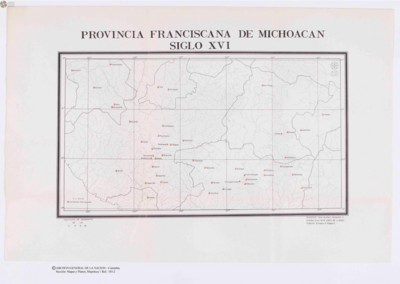
Provincia Franciscana de Michoacán
Mapa 1500 - 1599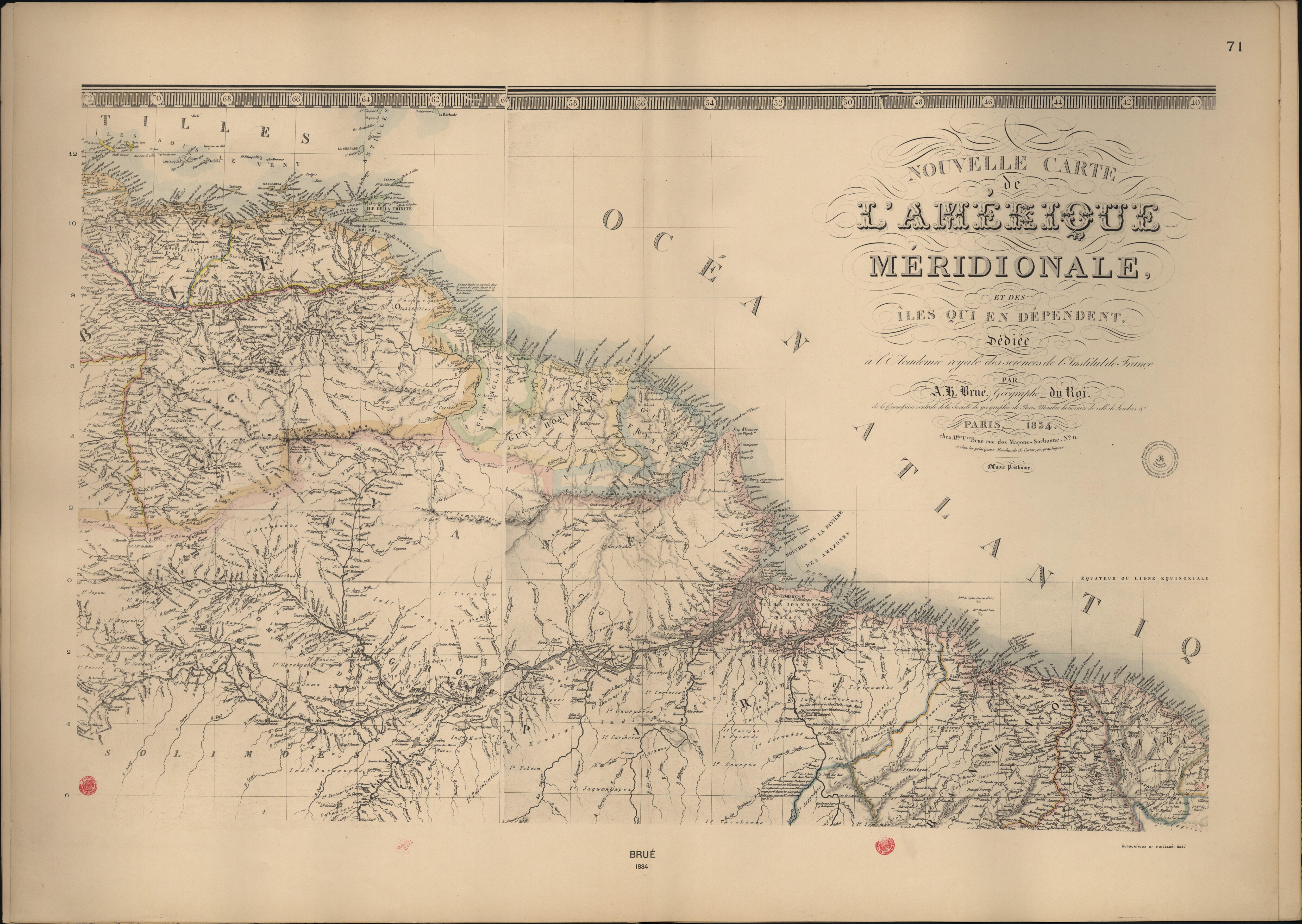
Nouvelle Carte de l'Amérique Méridionale, et des îles qui en dépendent dédiée à l'Academie royale des sciences de l'Institut de France.
Mapa 1800 - 1899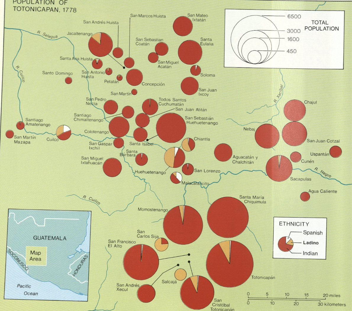
Population of Tontonicapan 1778
Mapa 1778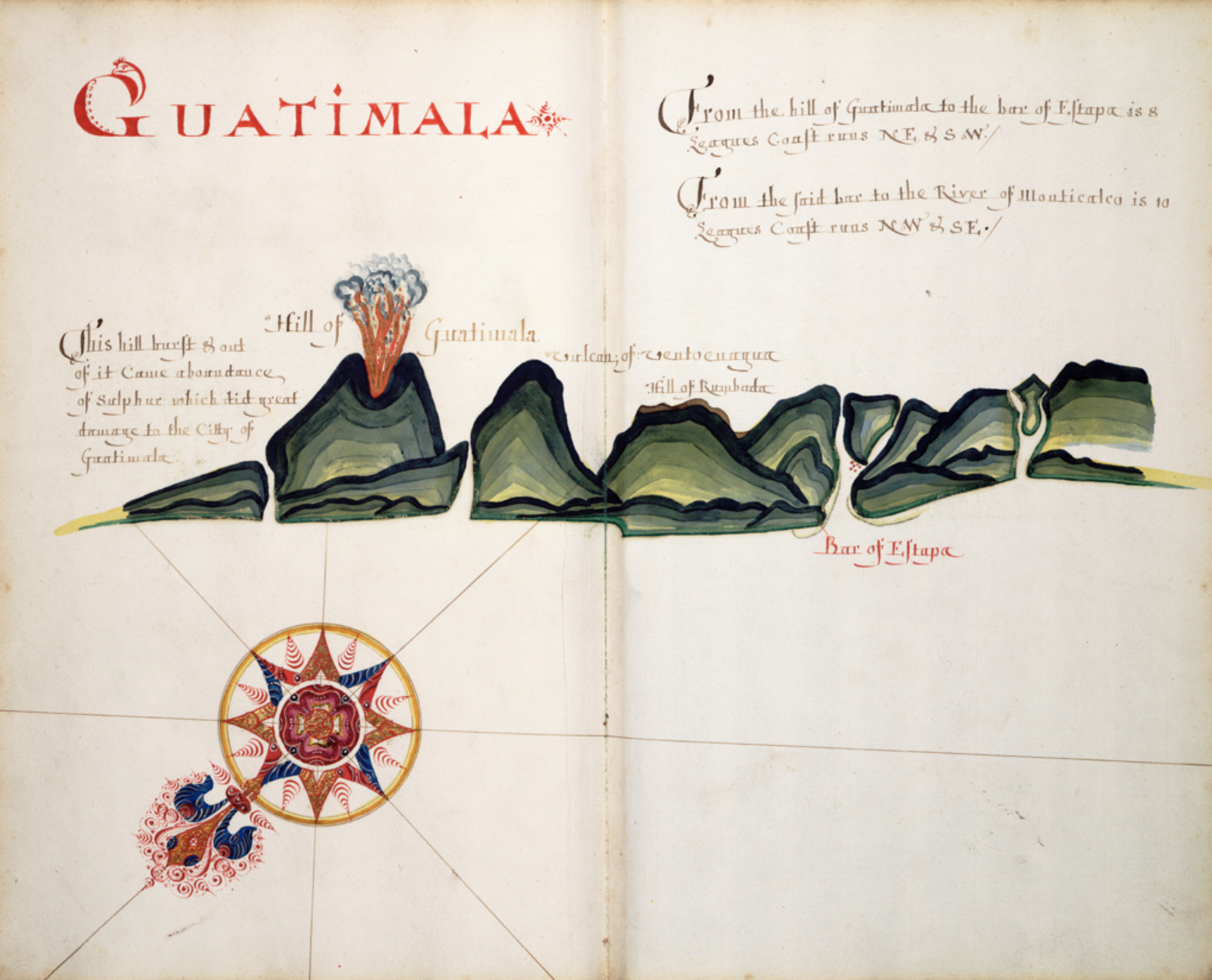
Guatimala
Mapa 1680 - 1685
Map of the basin of La Plata : based upon the results of the expedition under the command of Thos. J. Page;U.S. Navy;in the years 1853;-'54;-'55;& 56 and of the adjacent countries
Mapa 1853 - 1856
ANAHUAC Comprenant les Royaumes de Mexico, d'Acolhuacan, de Mechoacan, et les Republiques de Tlascala, de Cholula, de Huexotxinco & Tels qu 'ils etaient das l'annee 1521
Mapa 1843
Sketch map of part of RÍO ORINOCO and RIO CUCHIVERO from a survey by MAJOR STANLEY PATERSON
Mapa 1896
Colombia Indígena - ONIC
Mapa 2015