Povos
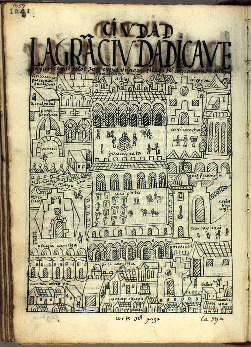
- CORTE DEL YNGA
Citação
Poma de Ayala, F. G. (Cartographer). (1615). LA GRAN CIVDAD [Map]. Det Kgl. Bibliotek. https://poma.kb.dk/permalink/2006/poma/1059/en/text/?open=idm656&imagesize=XL
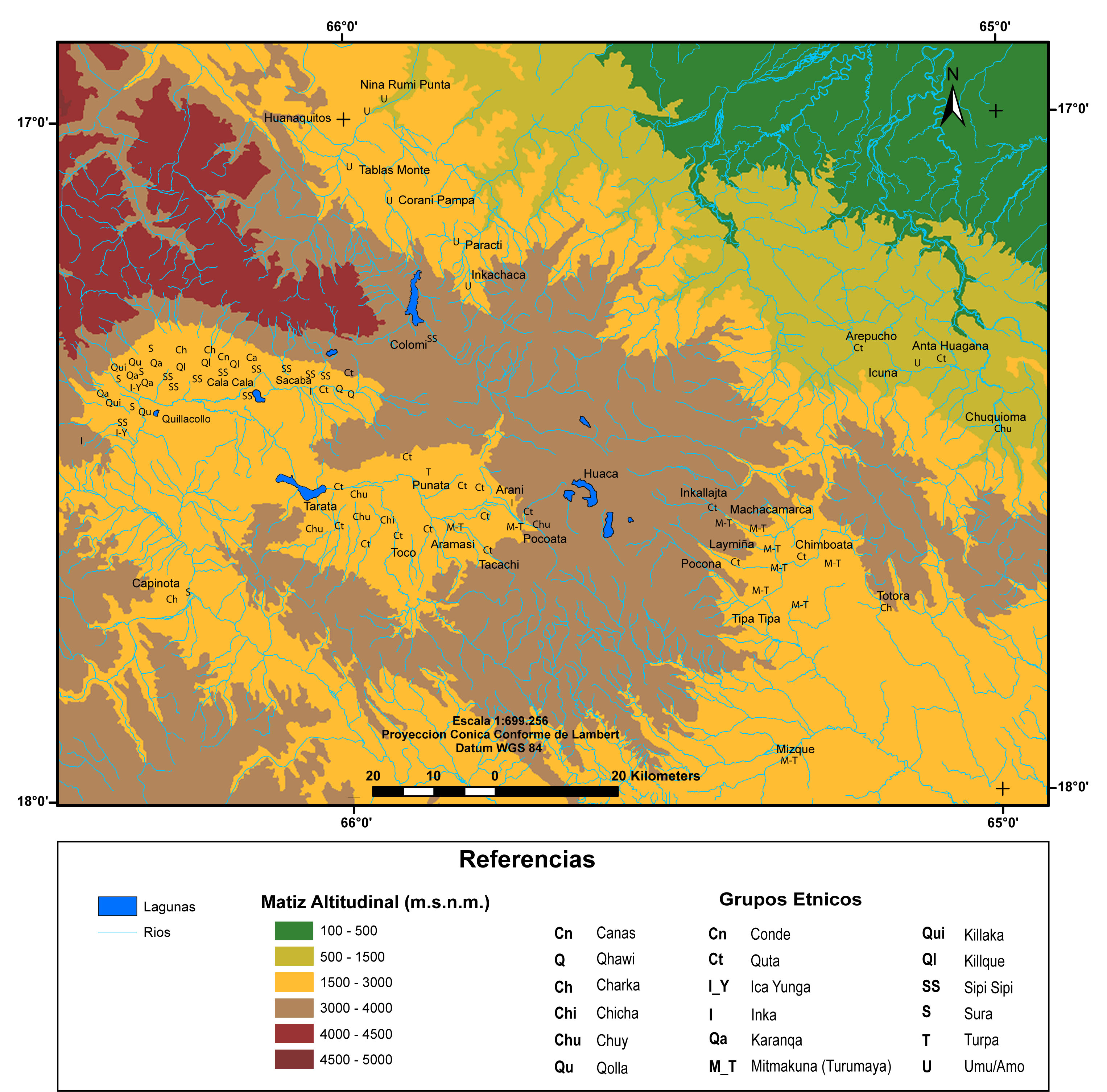
MULTI-ETHNIC TERRITORY under INCA DIRECT RULE: THE CENTRAL AND UPPER VALLEYS OF COCHABAMBA in the 1530s
Mapa 1520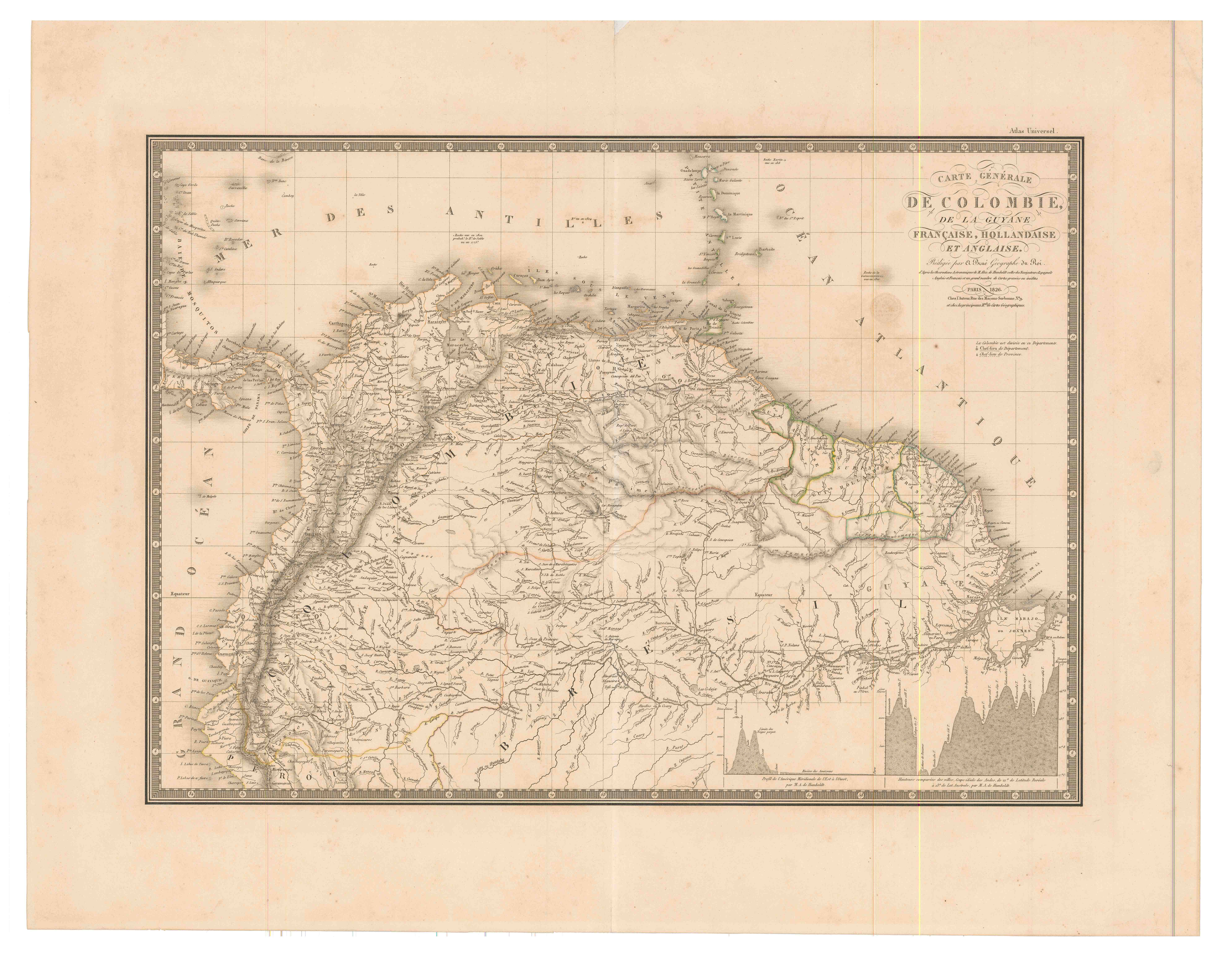
Carte générale de Colombie, de la Guyane Française, Hollandaise et Anglaise.
Mapa 1800 - 1899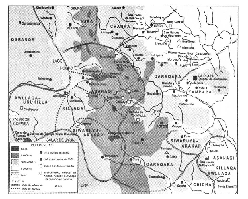
TERRITORIO DEL SEÑORÍO AYMARA DE LOS KILLAKAS A PRINCIPIOS DEL SIGLO XVI
Mapa 1500 - 1530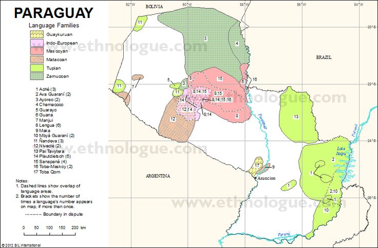
PARAGUAY Language Families
Mapa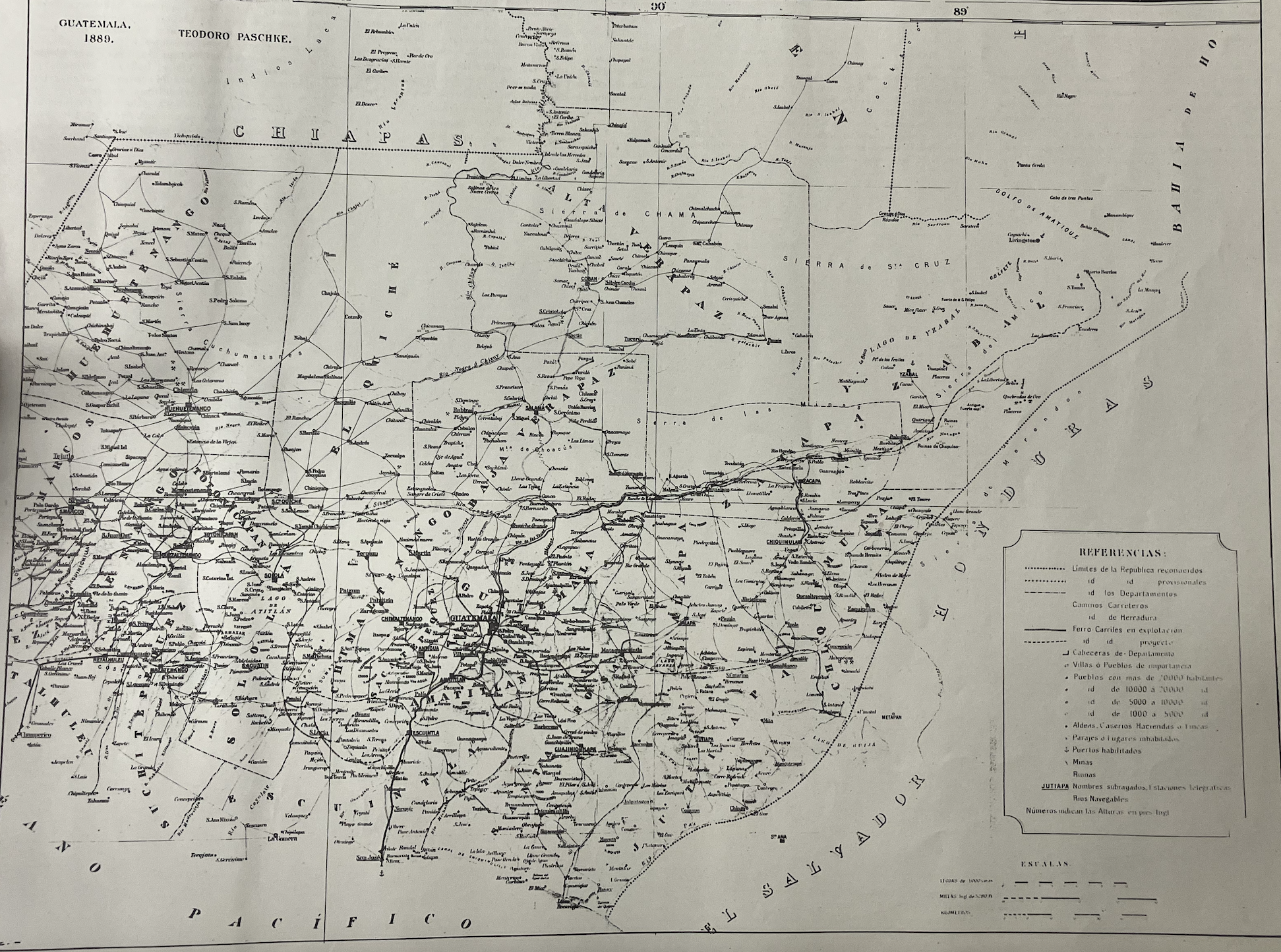
Mapa de la Republica de Guatemala, America Central
Mapa 1880 - 1900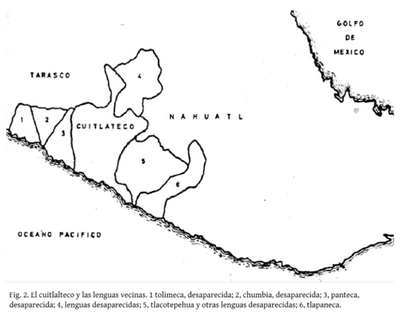
El cuitlateco y las lenguas vecinas
Mapa 2019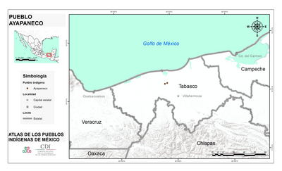
PUEBLO AYAPANECO
Mapa 2020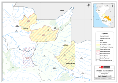
PUEBLO MASHCO PIRO
Mapa 2021