Povos
- QUECHUA
- AYMARA
Citation
Article Marsh, E., Kidd, R., Ogburn, D., & Durán, V. (2017). Dating the Expansion of the Inca Empire: Bayesian Models from Ecuador and Argentina. Radiocarbon, 59(1), 1-24. https://doi.org/10.1017/RDC.2016.118
Carte De L'Amérique Méridionale. Pour l Histoire Générale
Mapa 1700 - 1770
Plan pour ouvrir une communication de la mer du Nord á la mer du Sud par la riviére San Juan;le lac de Nicaragua et la baie del Papagaye.
Mapa 1700
SPATIAL ORGANIZATION OF THE QULLASUYU UNDER INCA RULE
Mapa 1500 - 1530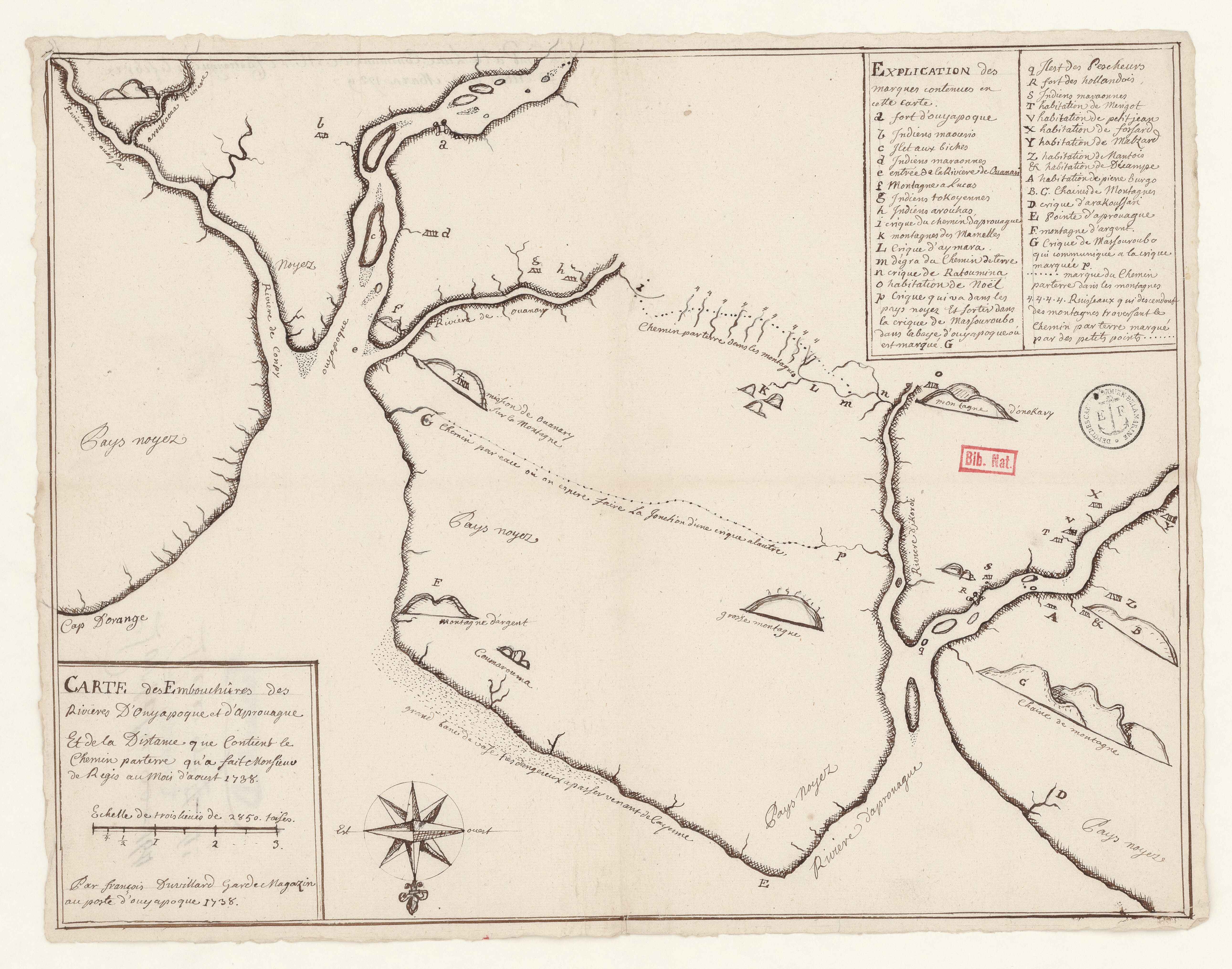
Carte des Embouchûres des Rivières d'Ouyapoque et d'Aprouague et de la distance que contient le chemin parterre qu'a fait Monsieur de Régis au mois d'août 1738 .
Mapa 1738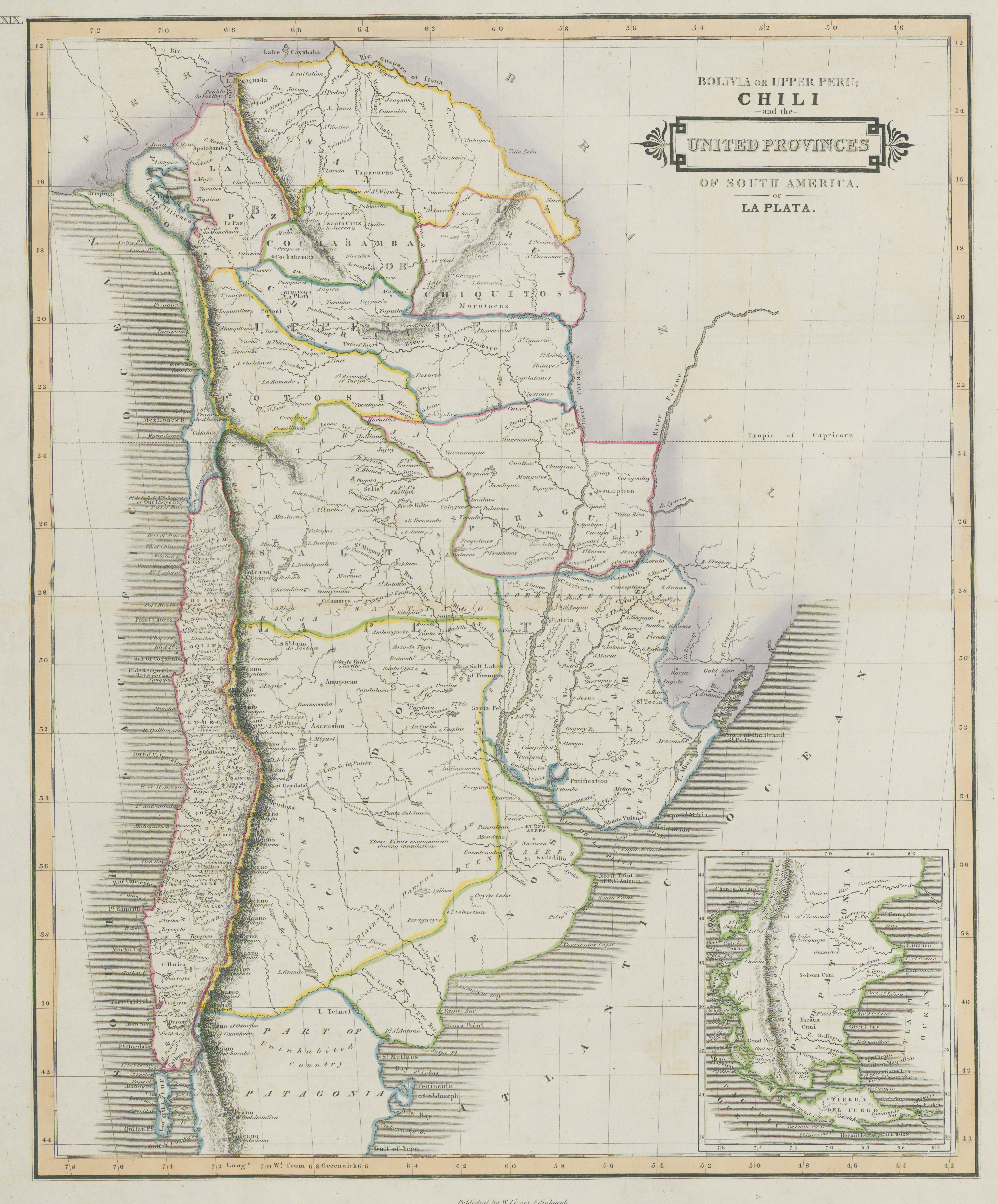
Bolivia Or Upper Peru;Chili and the United Provinces Of South America, or La Plata
Mapa 1800 - 1850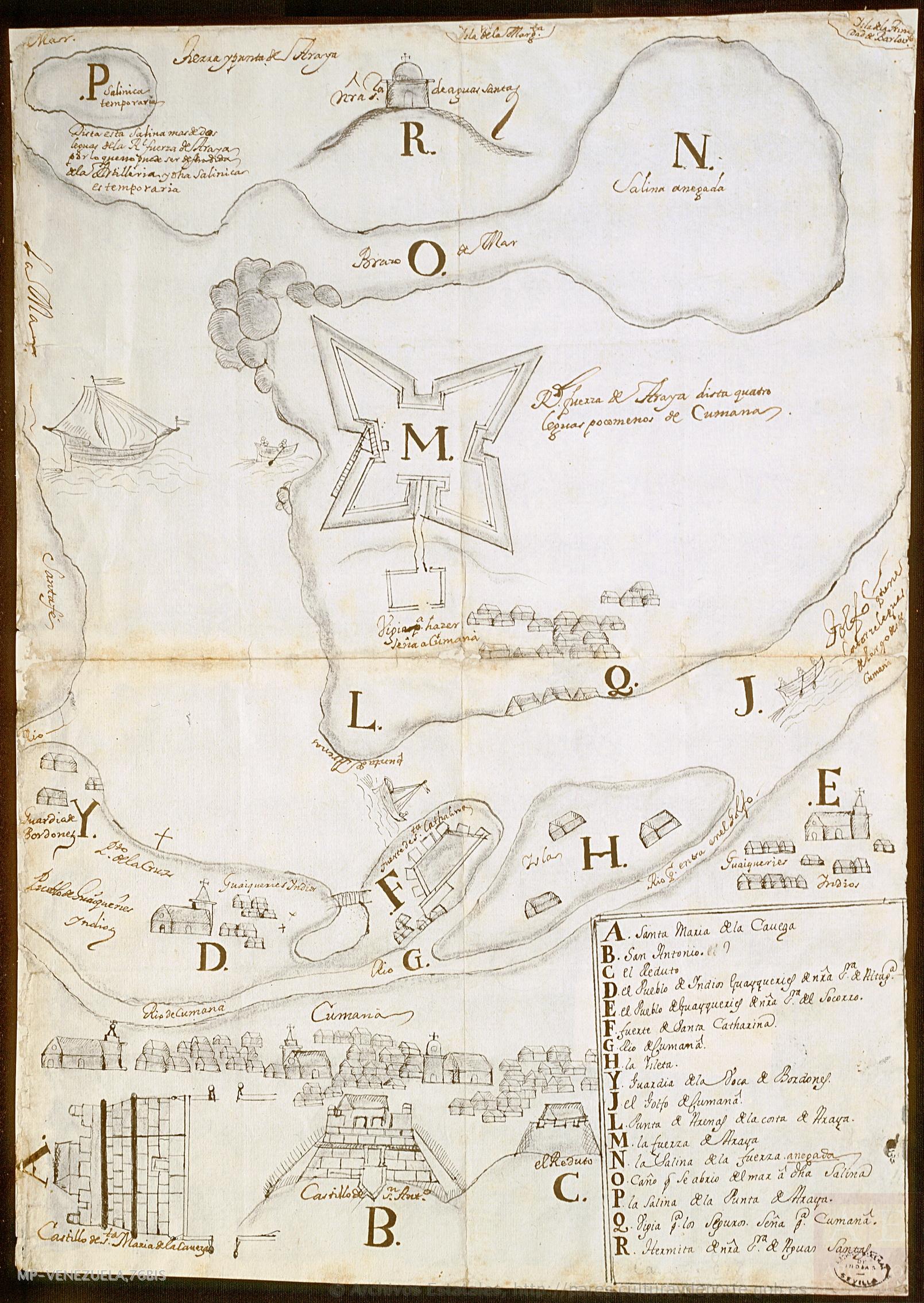
No Title
Mapa 1725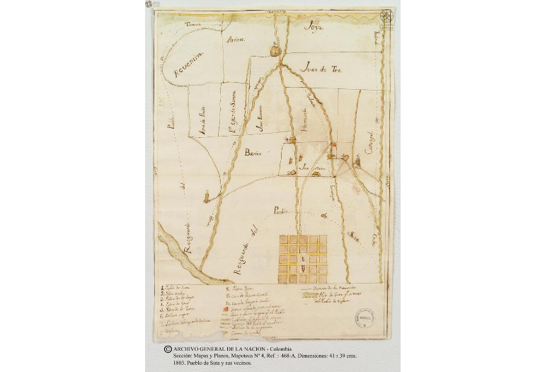
Pueblo de Suta
Mapa 1803![Zona de Silencio [Zona de Silêncio]](https://dnet8ble6lm7w.cloudfront.net/art_sm/AMEX015.png)
Zona de Silencio [Zona de Silêncio]
Obra de arte