Povos
- INDIAN EMPIRE OF DARIEN
Citation
Hacke, W. (1688). This is a description of the Isle of Pines and Golden Island / William Hacke [Map]. Gallica. https://gallica.bnf.fr/ark:/12148/btv1b5905636w/f1.item.r=Panama.zoom
ANTIGUAS Y ACTUALES COMUNIDADES INDIGENAS
Mapa 1492 - 1992
MAPA LINGÜÍSTICO DEL PAIS
Mapa 2009 - 2010
Copia del Plano Topográfico de la Ciudad de Lima, capital del Perú, y de su presidio y puerto del Callao, que como última observación de Latitud Austral, y demarcación geográfica de las costas de Chile y del Perú
Mapa 1712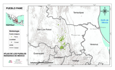
PUEBLO PAME
Mapa 2020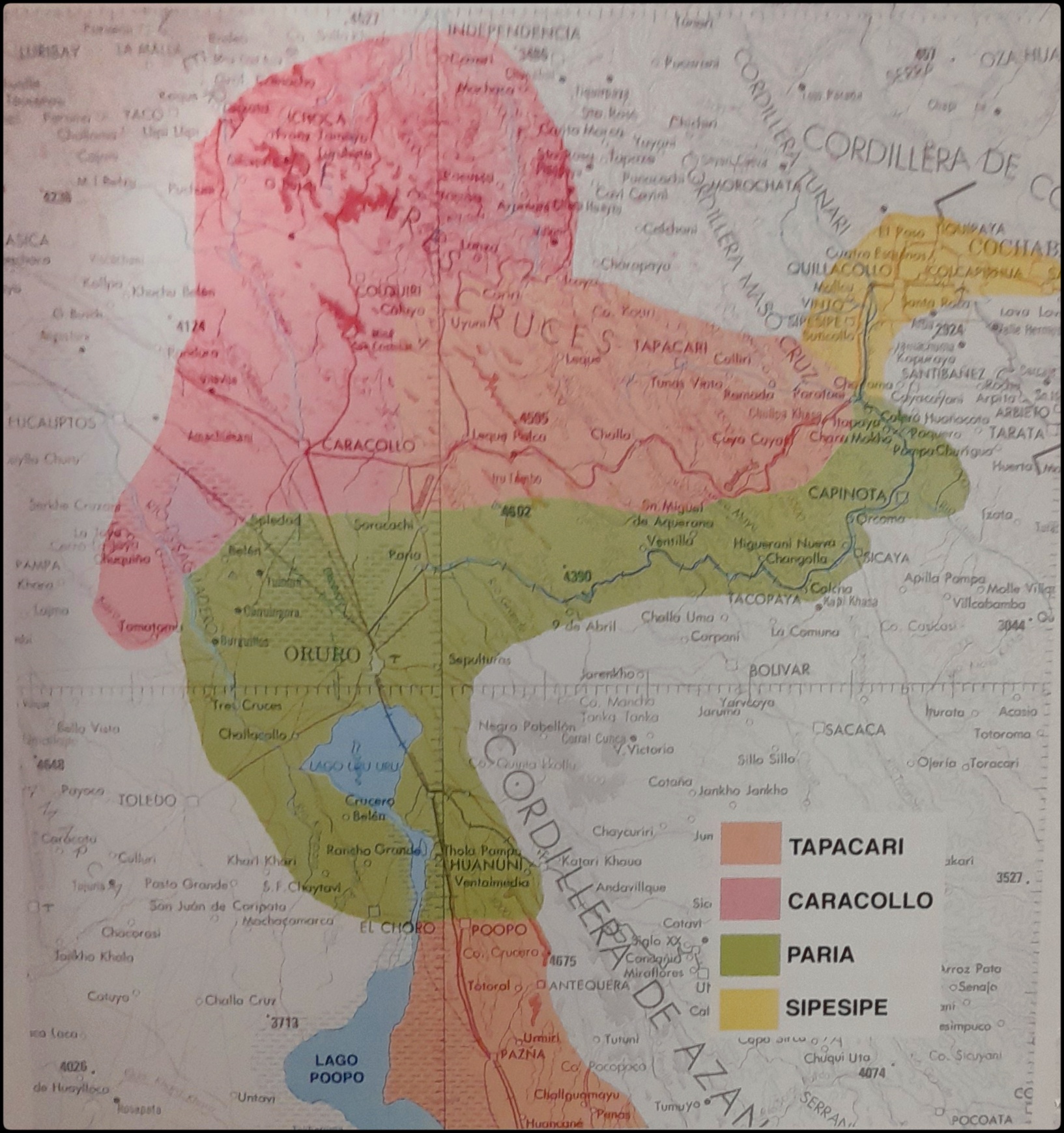
EL SEÑORÍO AYMARA DE LOS SURAS EN EL SIGLO XVI
Mapa 1500 - 1699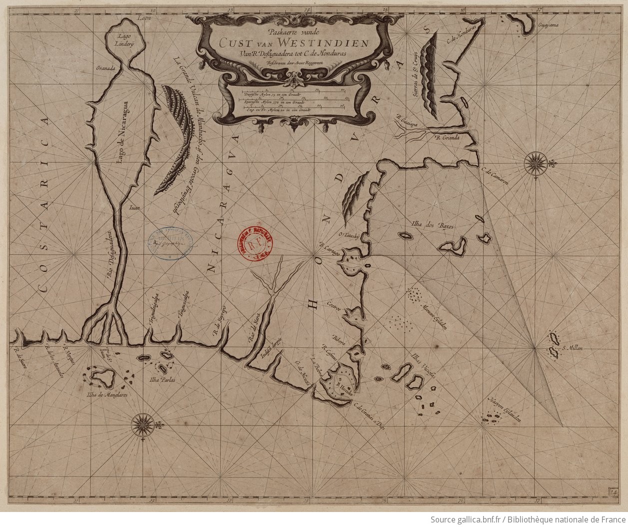
Paskaerte vande cust van Westindien van R. Desaguadera tot C. de Honduras / beschreven door Arent Roggeveen
Mapa 1675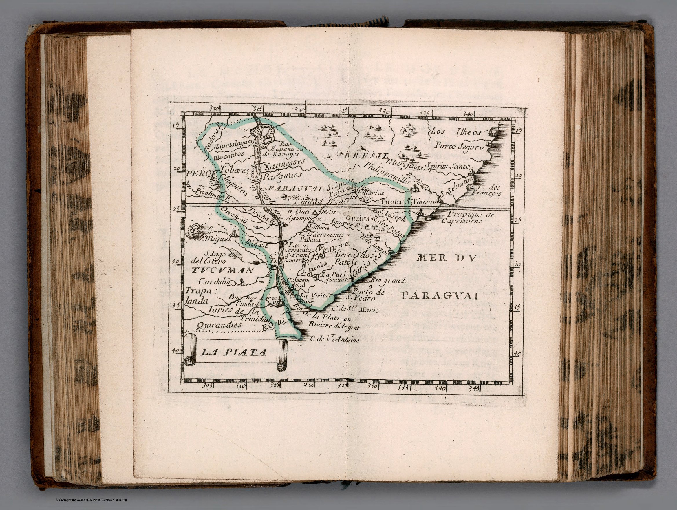
LA PLATA
Mapa 1658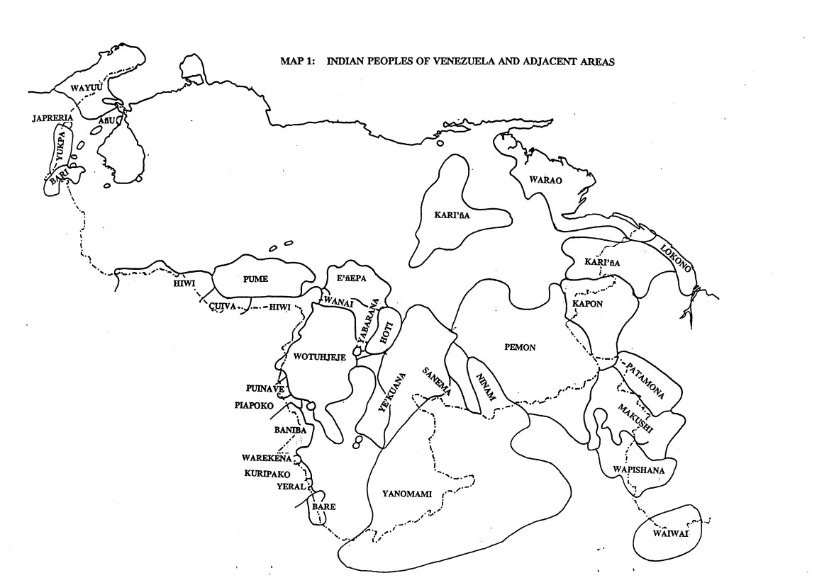
INDIAN PEOPLES OF VENEZUELA AND ADJACENT AREAS
Mapa 1995