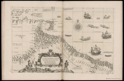
Povos
- TOACAS
- WOOLWA
- COOKRA
- CARIBS
Citation
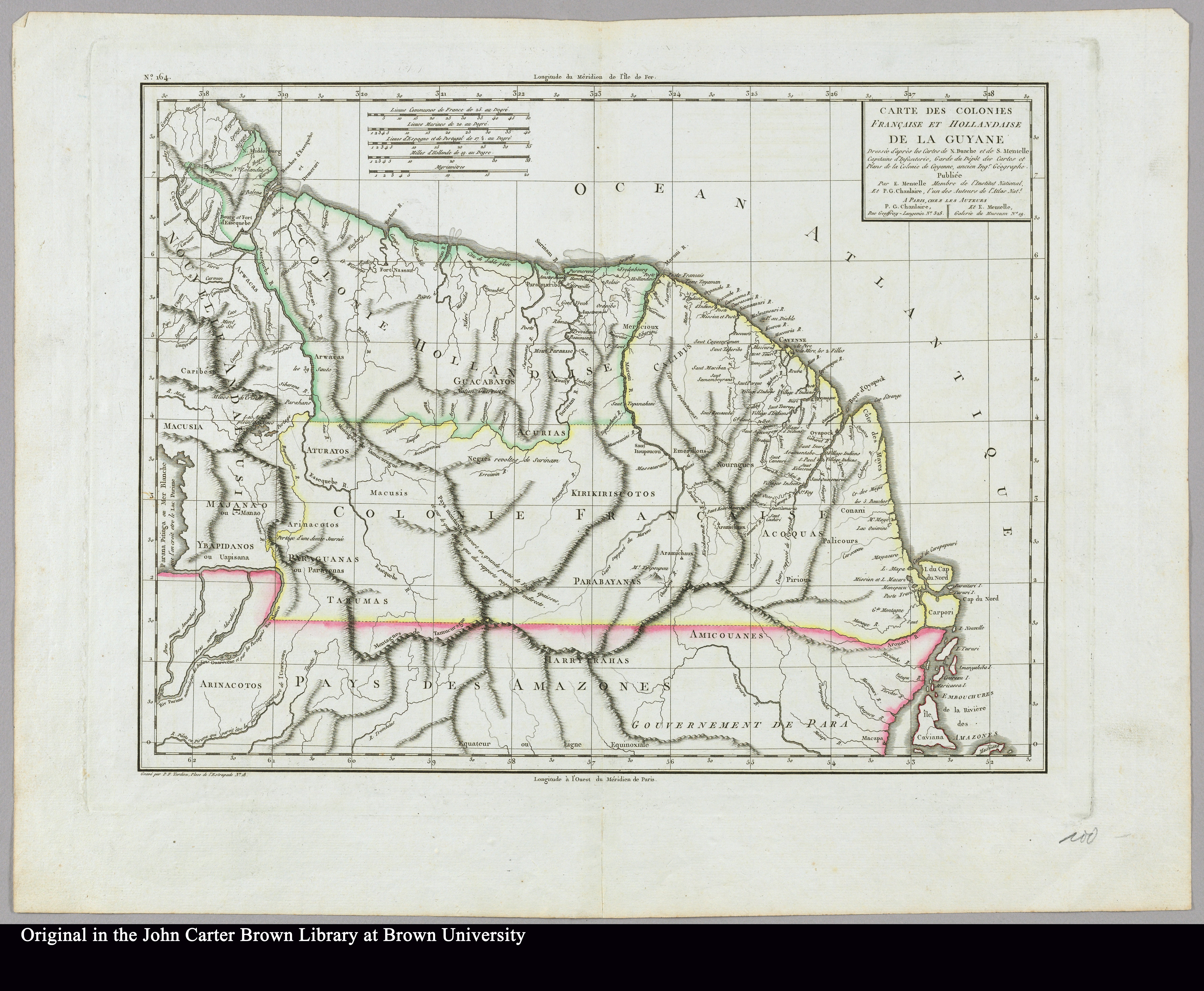
Government map of Nicaragua : from the latest surveys ordered by President Patricio Rivas and Genl. William Walker ;executed under the supervision of the Señor Fermín Ferrer;Governor of the Western Department;1856. Jocelyn;Albert H. New York. Library of Congress Geography and Map Division. G4850 1856 .G6. http://hdl.loc.gov/loc.gmd/g4850.ma001010AccessedJuly252023.
![Carta Particular de la Costa de Mosquitos;con sus Baxos;Escollos;Canales;Sonadas & c.a.[Material cartogáfico]:Para el Uso Delos Navios de Guerra Yngleses;y de la que sirve el Almirantasgo para su govierno.](https://dnet8ble6lm7w.cloudfront.net/maps_sm/NIC/NIC0039.png)