Dispossesions in the Americas

Dispossesions in the Americas

  • Lar
  • Explorar
  • Autores
  • Sobre
  • Arte
  • Corpos
  • Currículos
  • Patrimônio Cultural
  • Mapas
  • Territórios
Voltar à seção Explorar

Lendo em Inglês

Mapa 1500 - 1599

RELACIÓN GEOGRÁFICA DE MEZTITLÁN

    Publicado: 1579

    • Baixar Imagem
    • Baixar Imagem

    Lendo em Espanhol

    Mapa 1500 - 1599

    RELACIÓN GEOGRÁFICA DE MEZTITLÁN

      Publicado: 1579

      • Baixar Imagem
      • Baixar Imagem
      Mapa 1500 - 1599

      RELACIÓN GEOGRÁFICA DE MEZTITLÁN

        Publicado: 1579

        • Baixar Imagem

        Citação

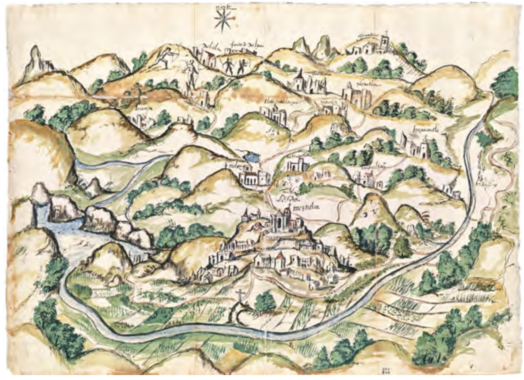
        García Redondo, José María. ""Estudio introductorio. Cartografía tradicional de los pueblos de México. Mapas indígenas y mestizos."" In El primer mapa de México, 11-41. N.p.: Fomento Cultural Grupo Salinas, 2021." https://d7hftxdivxxvm.cloudfront.net/?quality=80&resize_to=width&src=https%3A%2F%2Fartsy-media-uploads.s3.amazonaws.com%2FKmZVumNof8av3oDuBoa3ew%252F1.%2BMeztitla%25CC%2581n.jpg&width=1820

        • Baixar Imagem

        Itens Relacionados

        Il Chili con le contrade vicine ed il Paese dei Patagoni

        Il Chili con le contrade vicine ed il Paese dei Patagoni

        Mapa 1700 - 1800
        Corazon

        Corazon

        Mapa 1997
        Una de las Postales Mentía [Um dos cartões postais mentia]

        Una de las Postales Mentía [Um dos cartões postais mentia]

        Obra de arte
        PAI TAVYTERÃ

        PAI TAVYTERÃ

        Mapa 2015
        MAP OF YUCATAN AND THE ADJACENT TERRITORIES OF THE ITZAEX OR MAYA INDIANS, THE TIPUANS, QUECHEACHES, MOPANES, LACANDONES, CHOLES, & WITH THE DISTRICT OF VERA PAZ

        MAP OF YUCATAN AND THE ADJACENT TERRITORIES OF THE ITZAEX OR MAYA INDIANS, THE TIPUANS, QUECHEACHES, MOPANES, LACANDONES, CHOLES, & WITH THE DISTRICT OF VERA PAZ

        Mapa 1854
        NLLE. GRENADE CARACAS ET GUYANES.

        NLLE. GRENADE CARACAS ET GUYANES.

        Mapa 1812
        DEMARCACIÓN DE LÍMITES DEL PUEBLO REAL DE INDIOS (REDUCCIÓN) DE TALINA (1573)

        DEMARCACIÓN DE LÍMITES DEL PUEBLO REAL DE INDIOS (REDUCCIÓN) DE TALINA (1573)

        Mapa 1573
        THE KARANQAS AYMARA POLITY - Instant shot of trans-border connections around 1900 (Google Earth adaptation)

        THE KARANQAS AYMARA POLITY - Instant shot of trans-border connections around 1900 (Google Earth adaptation)

        Mapa 1860 - 1930

        Despossessões nas Américas

        Um projeto de

        University of Pennsylvania

        Copyright 2024

        Com o apoio de

        Mellon Foundation

        Projeto e desenvolvimento do site

        Element 84

        Créditos da arte

        García Redondo, José María. ““Estudio introductorio. Cartografía tradicional de los pueblos de México. Mapas indígenas y mestizos.”” In El primer mapa de México, 11-41. N.p.: Fomento Cultural Grupo Salinas, 2021." https://d7hftxdivxxvm.cloudfront.net/?quality=80&resize_to=width&src=https%3A%2F%2Fartsy-media-uploads.s3.amazonaws.com%2FKmZVumNof8av3oDuBoa3ew%252F1.%2BMeztitla%25CC%2581n.jpg&width=1820

        Páginas do site

        • Lar
        • Explorar
        • Autores
        • Sobre
        • Arte
        • Corpos
        • Currículos
        • Patrimônio Cultural
        • Mapas
        • Territórios