
Citação
Izquyluca; Tenayuca. Distrito Federal, 1594. AGN, Tierras, vol. 2812, exp. 16, f. 455 http://bdmx.mx/documento/galeria/mapas-indigenas-novohispanos-agn/co_imagen34/fo_05
ALGUNOS ESTABLECIMIENTOS ESPANOLES Y PUELOS DE INDIOS "REBELDES" A FINALES DEL SIGLO XVII
Mapa 1600 - 1699
MAP OF NEW GRANADA
Mapa 1864
CHART containing the greater part of the SOUTH SEA to the South of the LINE, with the ISLANDS dispersed thro' the same
Mapa 1794
MANJUI
Mapa 2015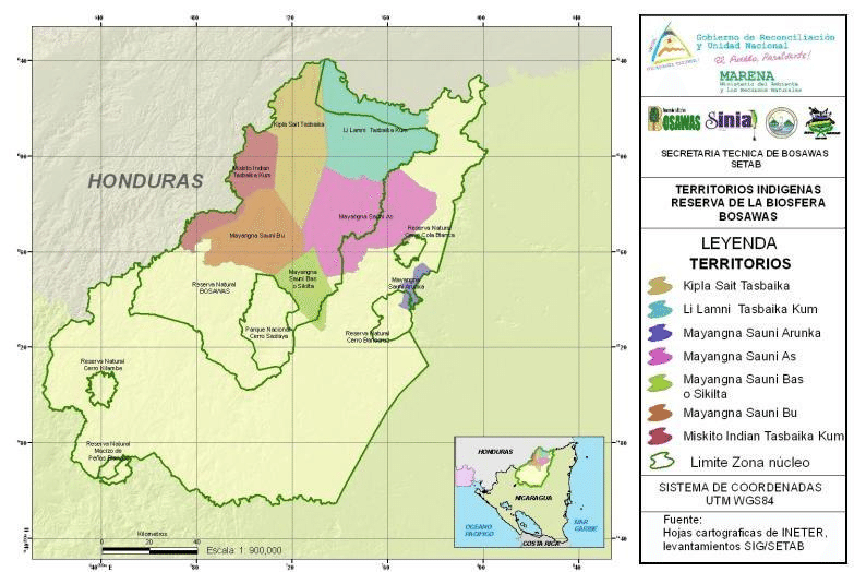
Indigenous territories and Bosawás in Nicaragua.
Mapa 2000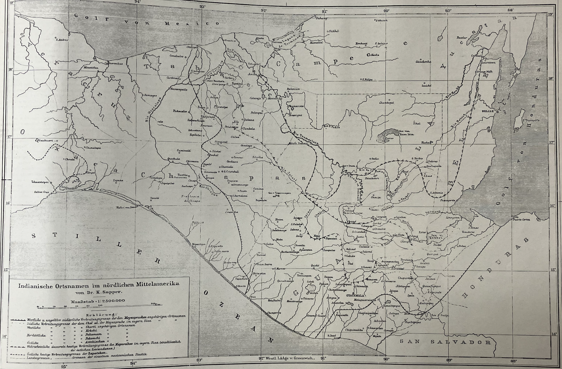
Indianische Ortsnamed im nördlichen Mittelamerika
Mapa 1800 - 1900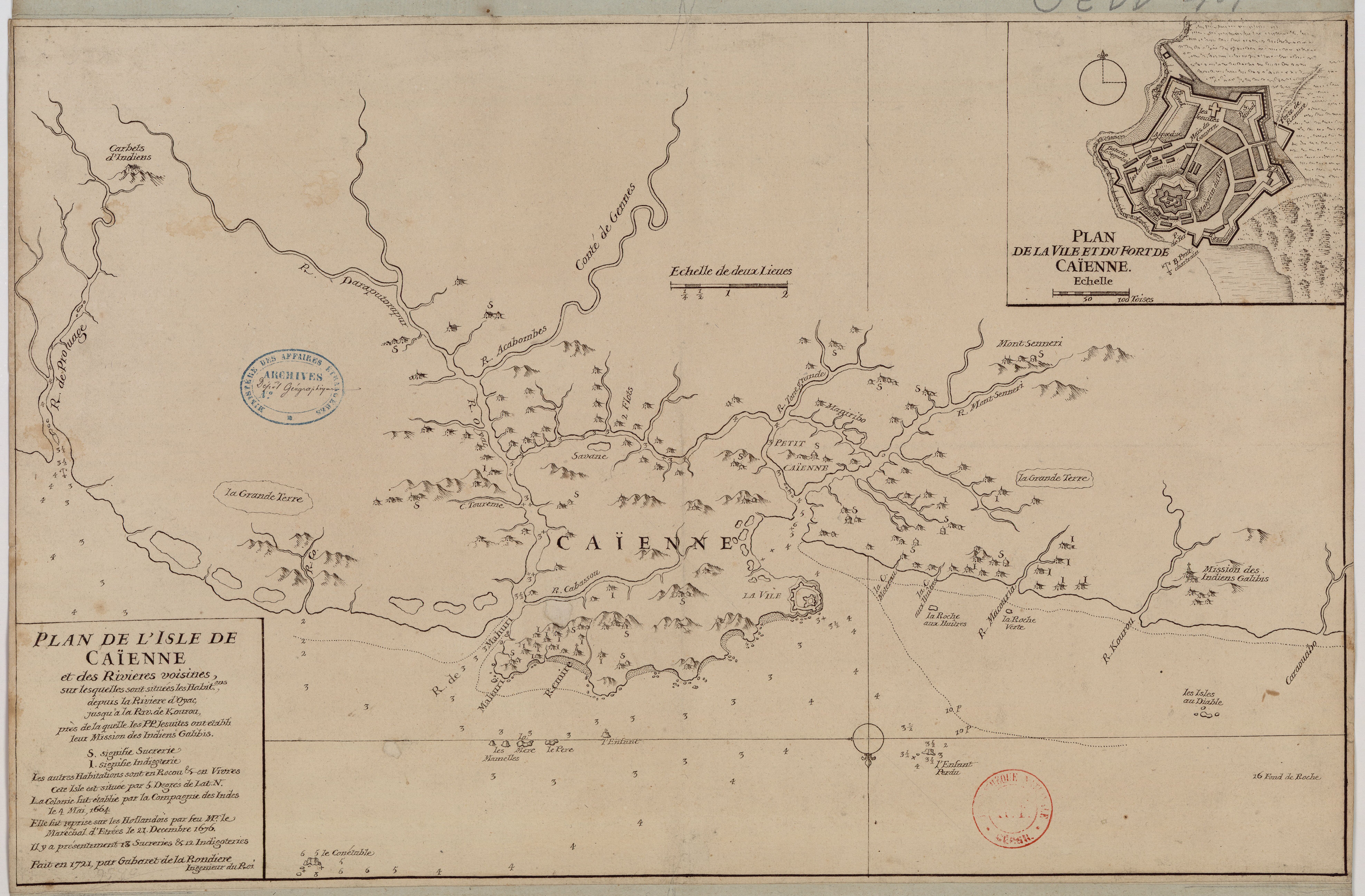
Plan de l'Isle de Cayenne et des rivières voisines, sur lesquelles sont situées les habit.ons, depuis la rivière d'Oyac, jusqu'à la Rivière de Kourou, près de laquelle les PP Jésuites ont établi leur mission des Indiens Galibis.
Mapa 1721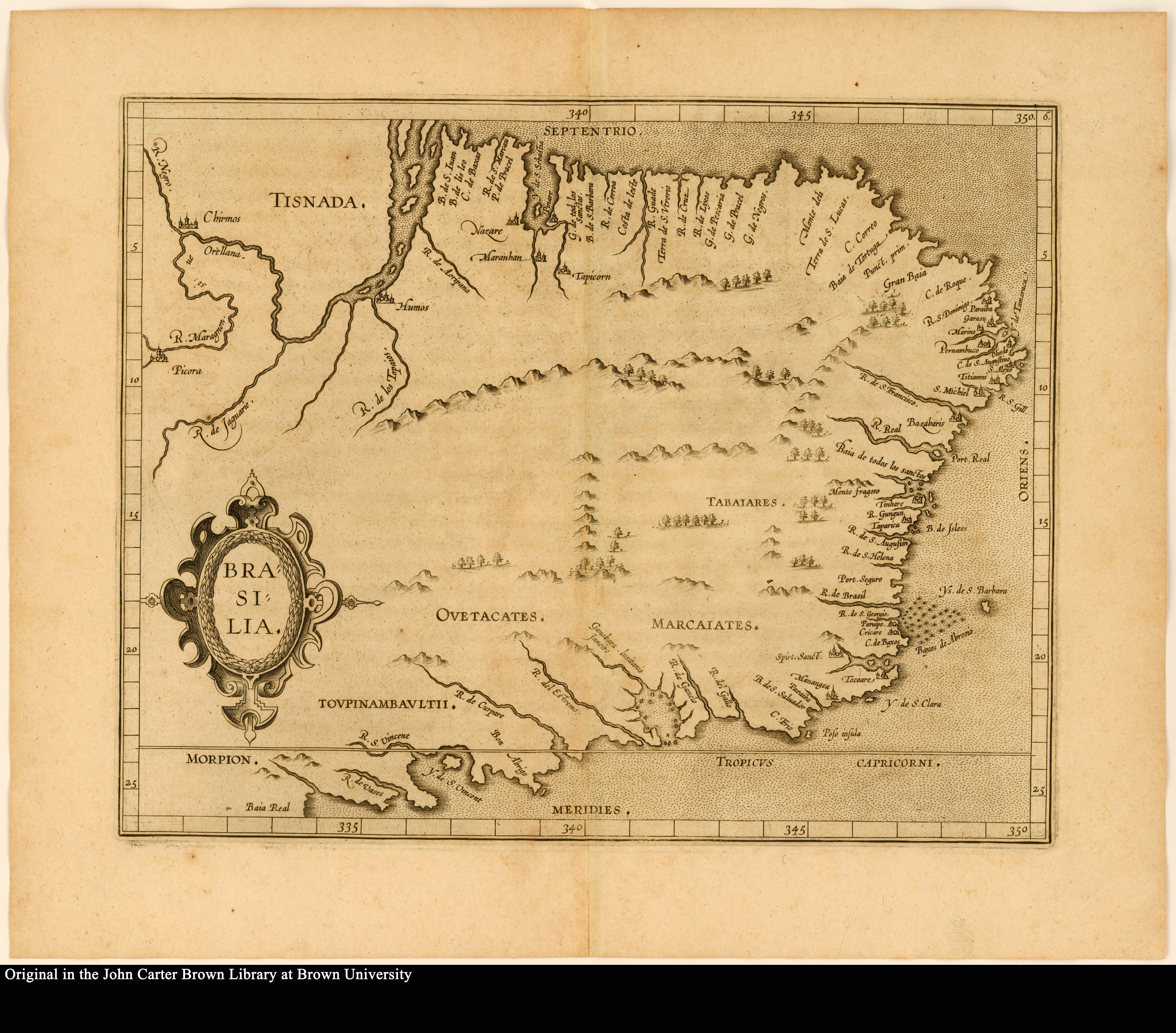
BRASILIA
Mapa 1500 - 1599