Citation
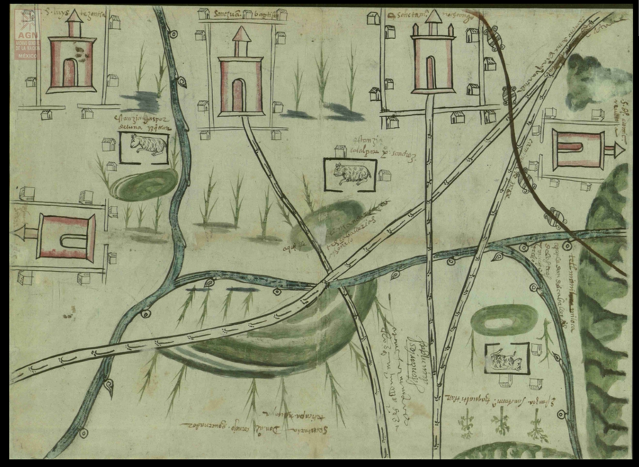
San Juan Baptista, San Luys Tezontla y Santa María Nochtongo. Oaxaca, 1579. AGN, Tierras, vol. 2762, exp. 10, f. 112 http://bdmx.mx/documento/galeria/mapas-indigenas-novohispanos-agn/co_imagen37/fo_06
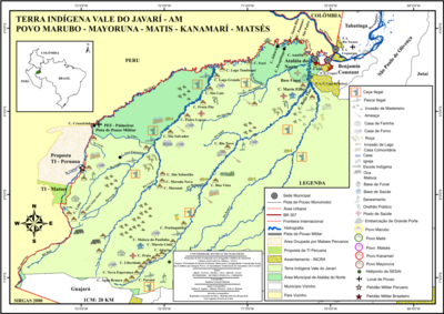
Terra Indígena Vale do Javarí
Mapa 2000 - 2099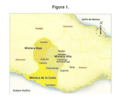
Ubicación geográfica del pueblo mixteco
Mapa
CARTA GEOGRÁFICA DEL ECUADOR POR DR. TEODORO WOLF;PUBLICADA POR ORDEN DEL SUPREMO GOBIERNO DE LA REPÚBLICA Y TRABAJADA BAJO LAS PRESIDENCIAS DE LOS EE. SEÑORES DR. D.J.M. PLÁCIDO CAAMAÑO Y DR. D. ANTONIO FLORES. 1892 ... INSTITUTO GEOGRAFICO DE H. WAGNER & E. DEBES EN LEIPZIG. (WITH) LA REGION ORIENTAL DEL ECUADOR. (WITH) ARCHIPIÉLAGO DE GALÁPAGOS.
Mapa 1892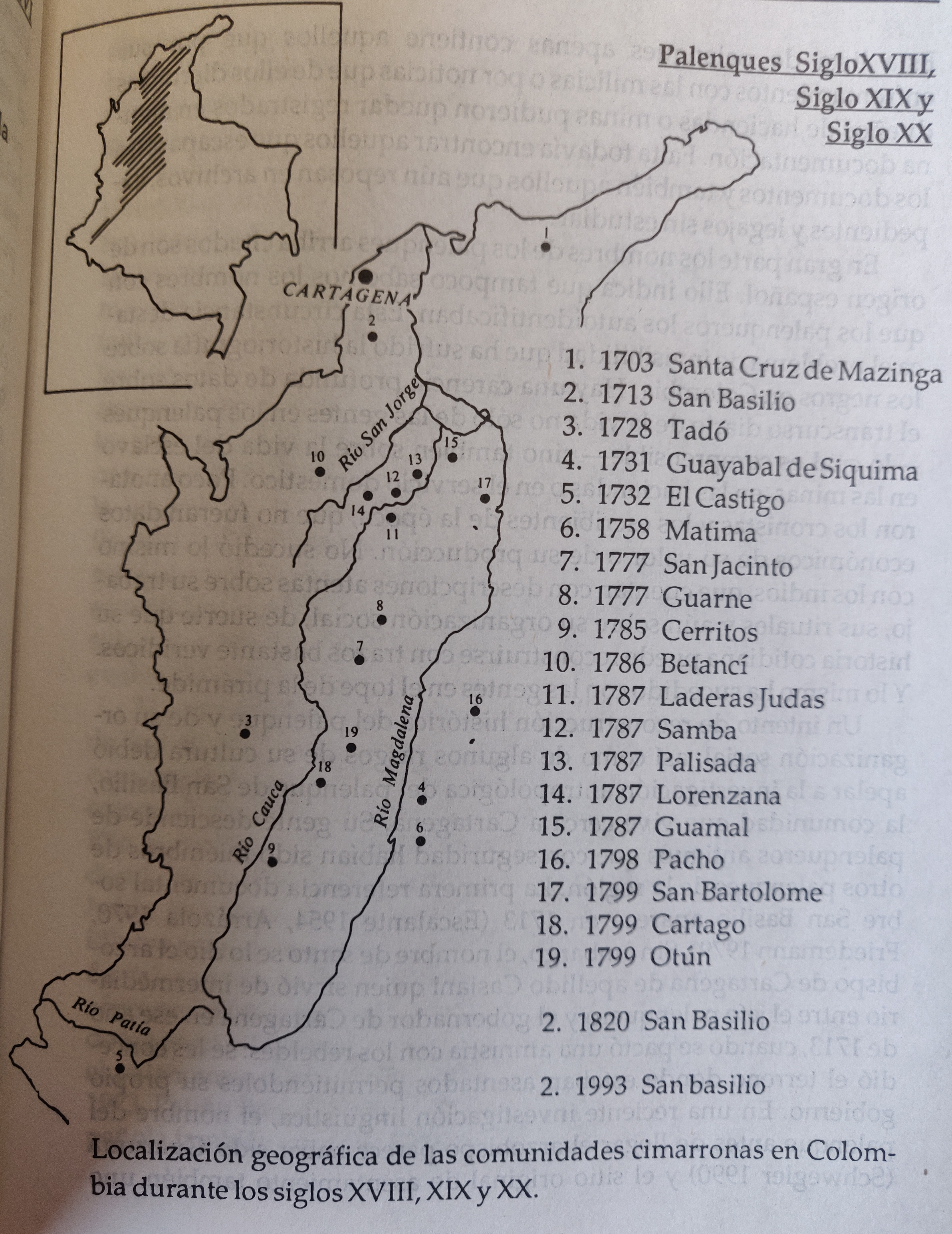
LOCALIZACION GEOGRAFICA DE LAS COMUNIDADES CIMARRONAS EN COLOMBIA DURANTE LOS SIGLOS XVIII, XIX Y XX
Mapa 1700 - 1999
“O beijo”
Obra de arte
Preconquest and Modern Boundaries of Tarascan Speech
Mapa 1550 - 1999
This is a description of the Isle of Pines and Golden Island / William Hacke
Mapa 1688
MAPAS DAS PROVINCIAS ETNOGRÁFICAS NO TERRITÓRIO DO RIO GRANDE DO SUL
Mapa 1500 - 1600