Citation
Comisión Nacional para el Desarrollo de los Pueblos Indígenas. Regiones indígenas de México. Publication no. 330.972. 2006. https://www.gob.mx/cms/uploads/attachment/file/35735/cdi-regiones-indigenas-mexico.pdf.
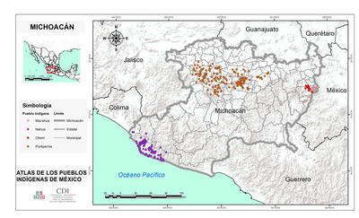
MICHOACÁN
Mapa 2015![Colección de diferentes versiones del Perú Jaguar, Perú Otorongo y los “perucitos” [Coleção de diferentes versões do Peru Jaguar, Peru Otorongo e os “peruzinhos”]](https://dnet8ble6lm7w.cloudfront.net/art_sm/APER053-0.png)
Colección de diferentes versiones del Perú Jaguar, Perú Otorongo y los “perucitos” [Coleção de diferentes versões do Peru Jaguar, Peru Otorongo e os “peruzinhos”]
Obra de arte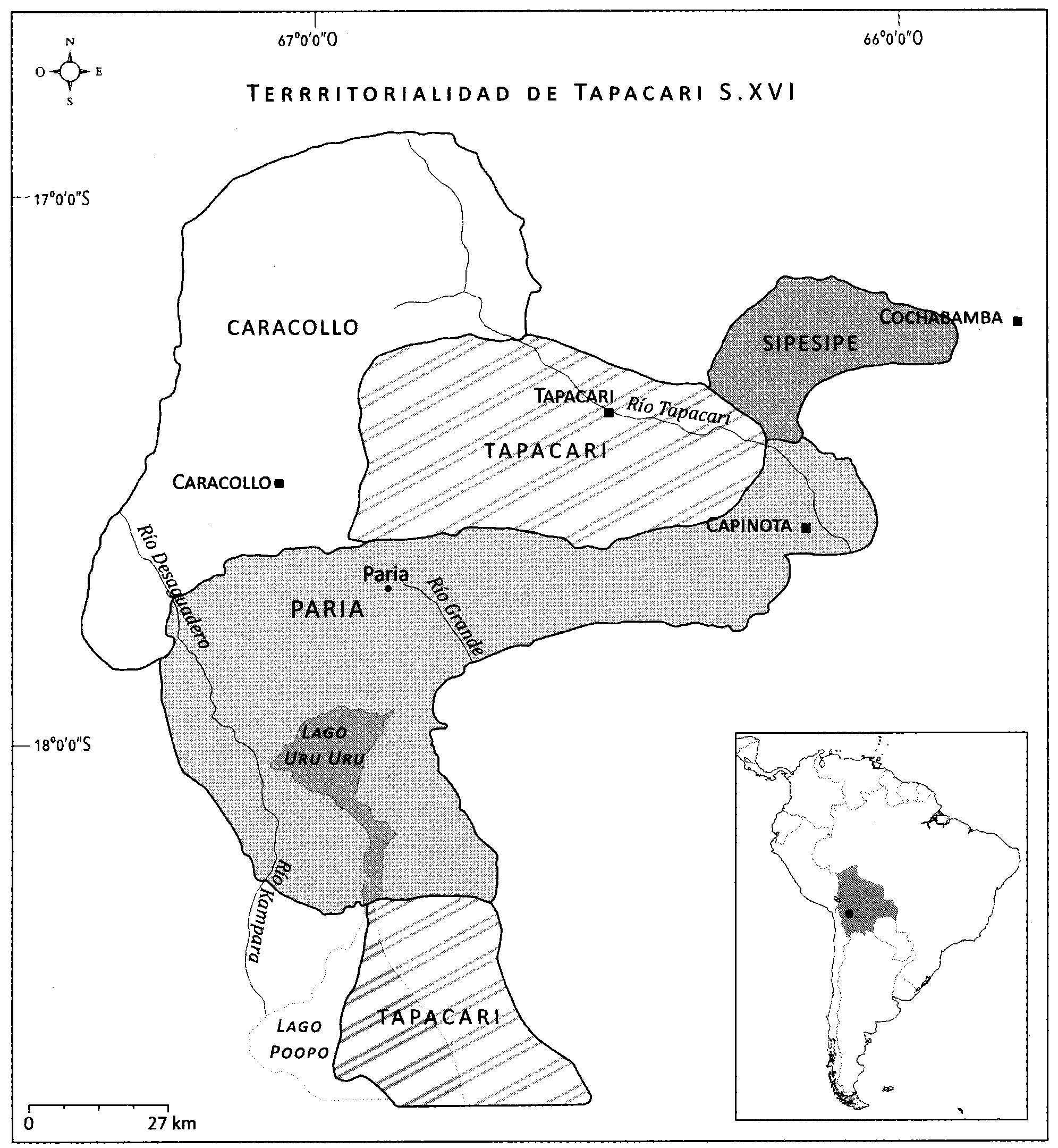
EL SEÑORÍO AYMARA DE LOS SURAS: COLONIAS DE SURA BAJO EL DOMINIO INCA EN EL SIGLO XVI
Mapa 1500 - 1599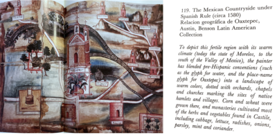
The Mexican Countryside under Spanish Rule (Circa 1580), Relacion Geográfica de Oaxtepec
Mapa 1580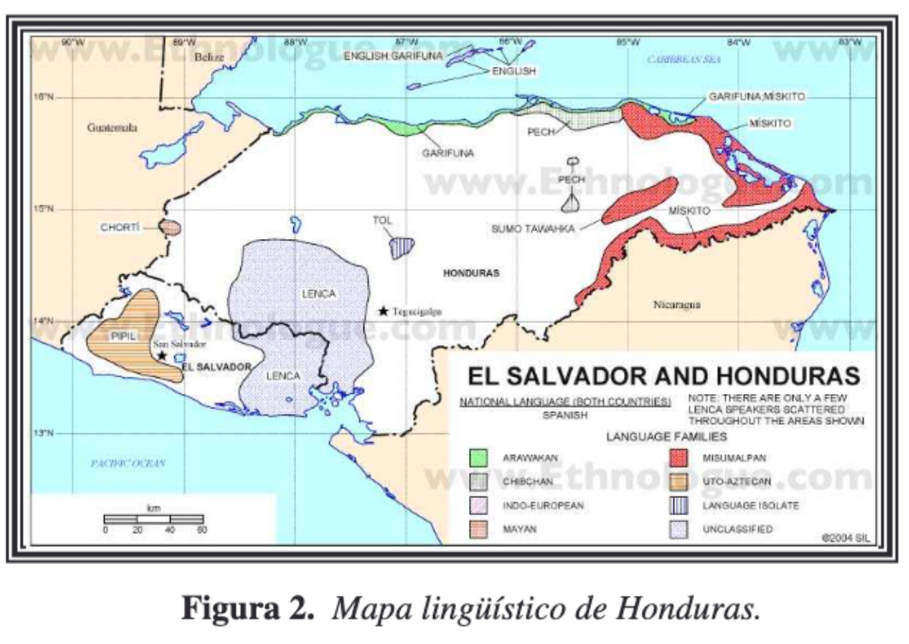
Mapa linguístico de Honduras
Mapa 2004
SIDA / AIDS
Obra de arte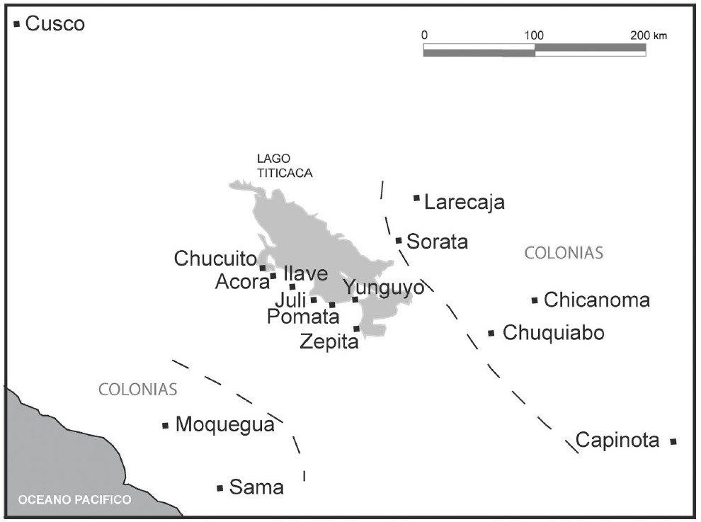
THE AYMARA POLITY OF THE LUPAQA: COMMERCIAL DESTINIES AND VERTICALITY IN THE 16TH CENTURY
Mapa 1500 - 1599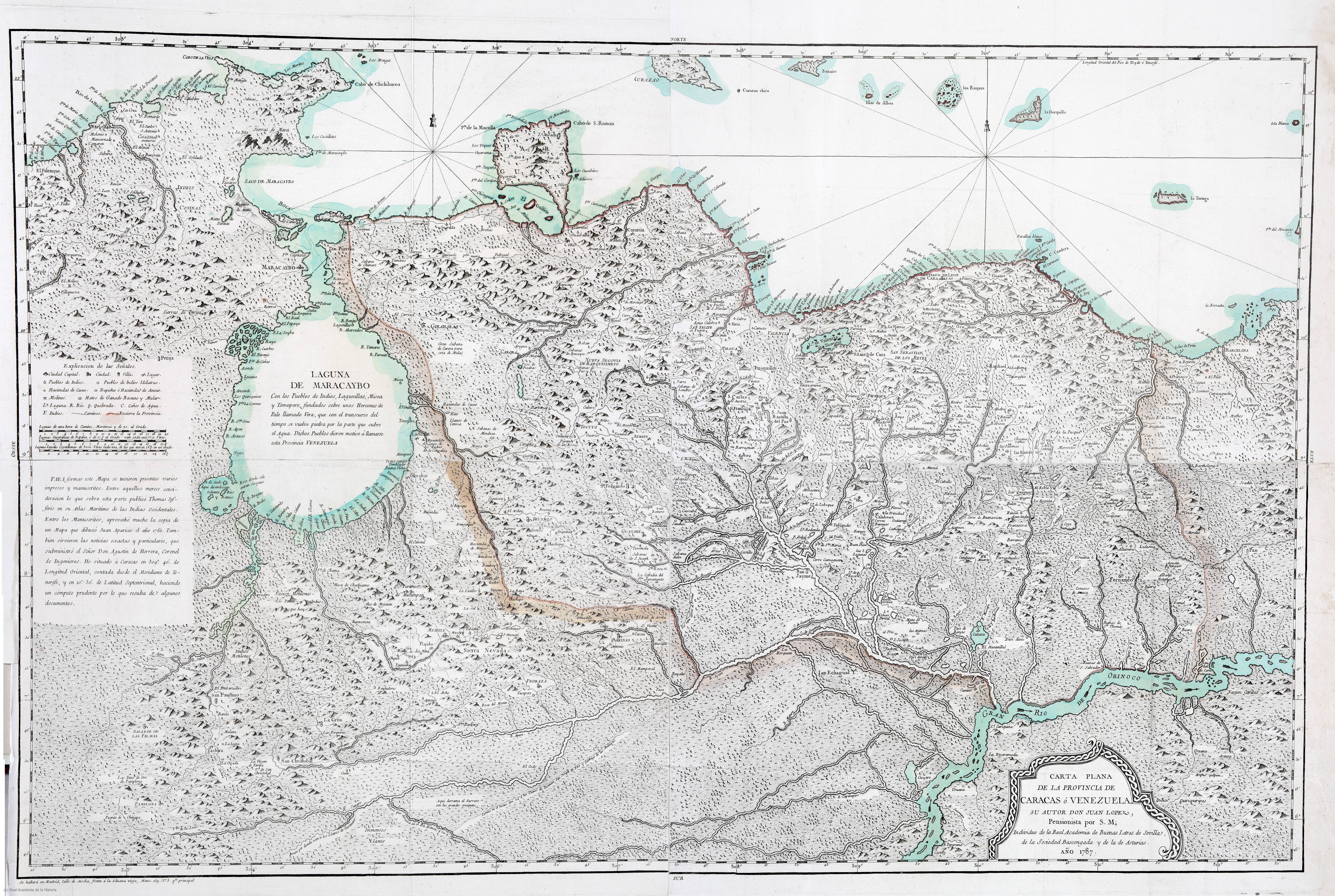
CARTA PLANA DE LA PROVINCIA DE CARACAS Ó VENEZUELA
Mapa 1787