
Citação
Comisión Nacional para el Desarrollo de los Pueblos Indígenas. Regiones indígenas de México. Publication no. 330.972. 2006. https://www.gob.mx/cms/uploads/attachment/file/35735/cdi-regiones-indigenas-mexico.pdf.
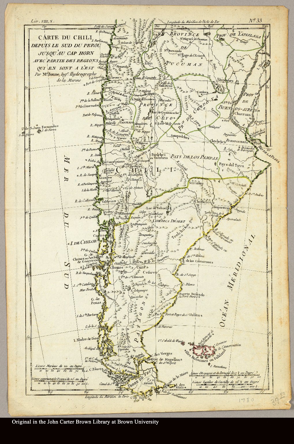
Carte du Chili depuis le sud du Perou jusqu'au Cap Horn ... par Mr. Bonne, Ingr. Hydrographe de la Marine.
Mapa 1780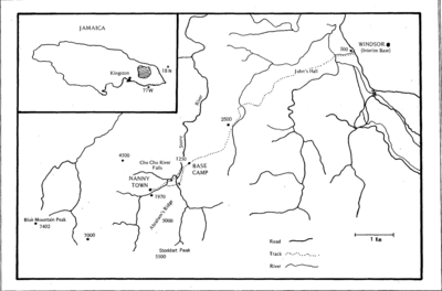
Map showing Windsor route to Base Camp and Nanny Town
Mapa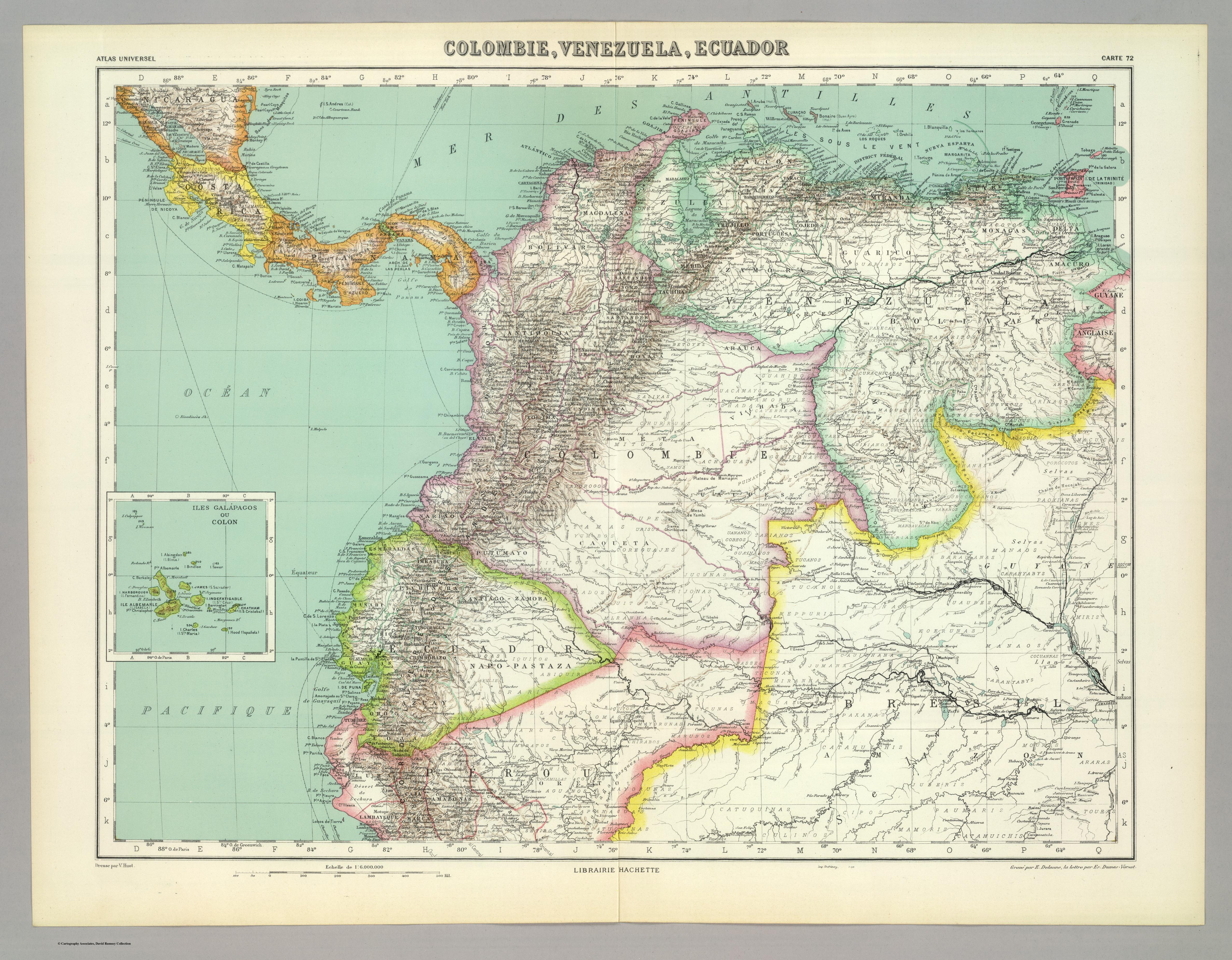
COLOMBIE;VENEZUELA;ECUADOR
Mapa 1930
REPRESENTACIÓN EN FORMA DE TRÍPTICO DE LAS TIERRAS DE TEPAL;CUENCA;CORRESPONDE AL EXPEDIENTE PROMOVIDO POR POSESIÓN DE TIERRAS ENTRE LOS INDÍGENAS DE SANTA ANA DE PICHACAY CONTRA MARÍA Y FRANCISCA CAZAR
Mapa 1828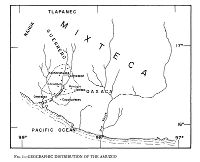
Geographic Distribution of the Amuzgo
Mapa 1969
Nieuwe Caerte van het wonderbaer ende goudrijcke landt Guiana, gelegen onder de Linie Aequinoctiael tusschen Brasilien ende Péru.
Mapa 1500 - 1599
Indigenous provinces in El Salvador around 1500. (Adapted from Fowler 1989140-141, figure 5, with additional information from Lehman 1920:719, with modifications by the author.)
Mapa 1500
La región andina septentrional ecuatoriana
Mapa -500 - 1550