
Povos
- HUICHOL
- NAHUA
Citação
Instituto Nacional de los Pueblos Indígenas. "Distribución por Entidad Federativa." Atlas de los pueblos indígenas de México. http://atlas.inpi.gob.mx/distribucion-por-entidad-federativa/.
Fig. 1.1 Locations of peoples discussed in this volume
Mapa 1900 - 1999
Carte de la dépendance du Yapok jusqu'à la Rivière des Amazones;par François Duvillard garde magazin du Roy au Yapok
Mapa 1700 - 1799
Colombia Prima or South America drawn from the large map in eight sheets by Louis Stanislas D'Arcy Delarochette
Mapa 1811
COLOMBIA AND GUIANA
Mapa 1830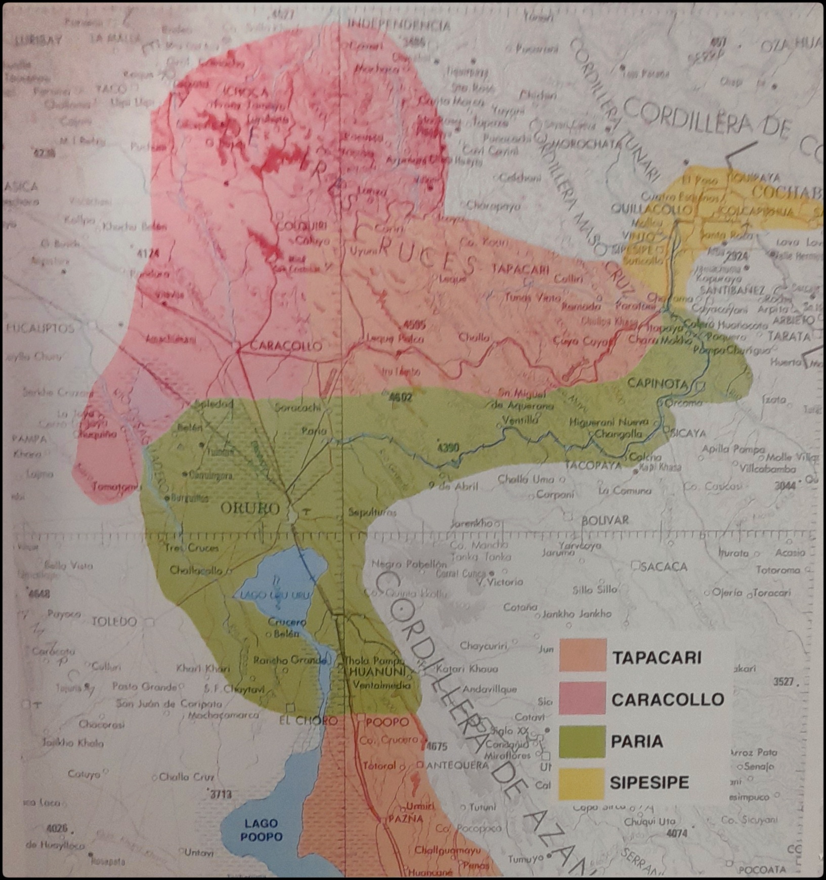
EL SEÑORÍO AYMARA DE LOS SURAS EN EL SIGLO XVI
Mapa 1500 - 1699![1. Angustia #1
2. Angustia #2
3. Angustia #7
4. Angustia #8
5. Angustia #10
6. Angustia #12´
[Angústia]](https://dnet8ble6lm7w.cloudfront.net/art_sm/ACOL025.png)
1. Angustia #1 2. Angustia #2 3. Angustia #7 4. Angustia #8 5. Angustia #10 6. Angustia #12´ [Angústia]
Obra de arte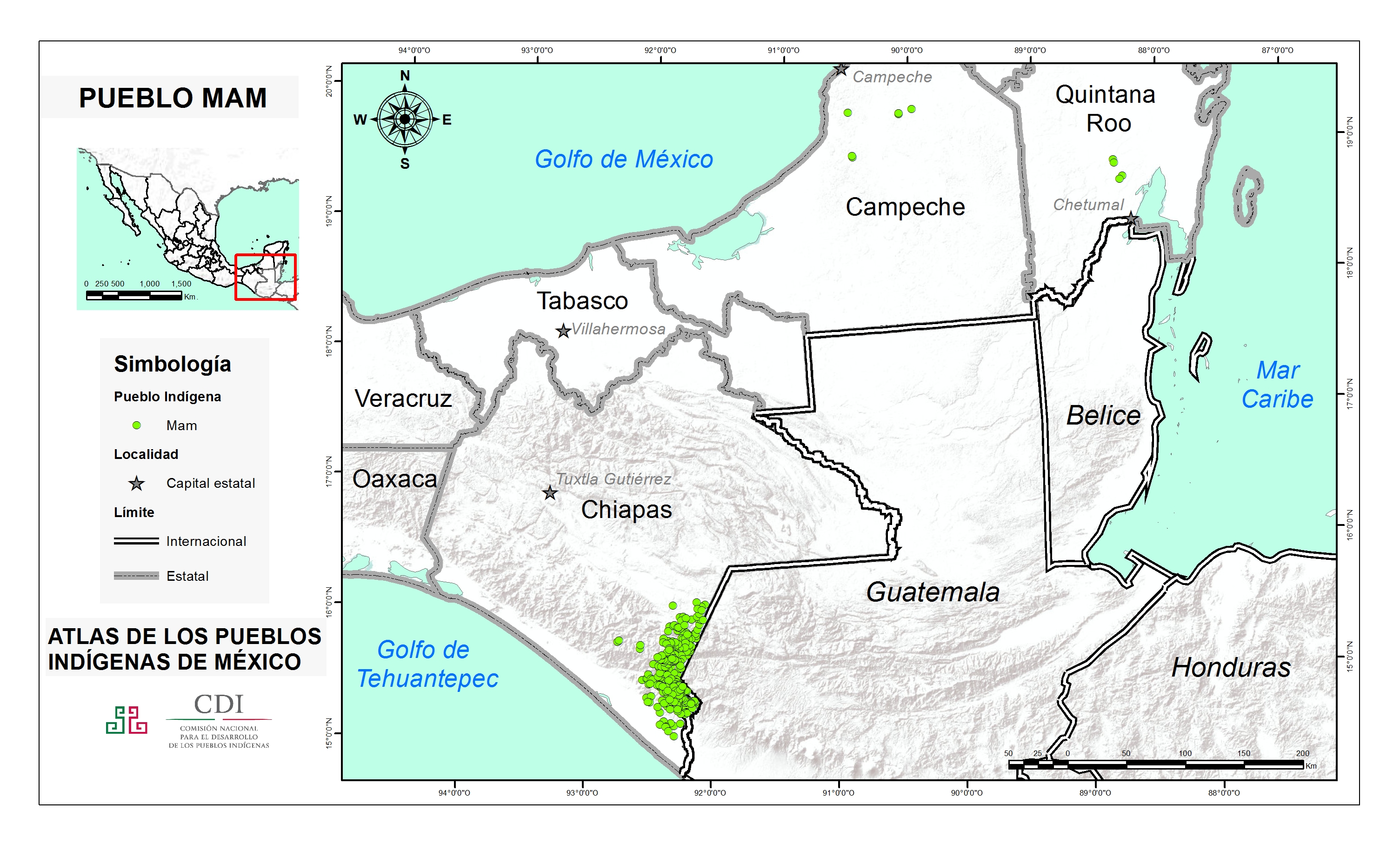
PUEBLO MAM
Mapa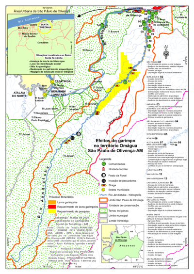
Efeitos do garimpo no território Omágua São Paulo de Olivença-AM
Mapa 2000 - 2099