
Povos
- NAHUA
Citação
Instituto Nacional de los Pueblos Indígenas. "Distribución por Entidad Federativa." Atlas de los pueblos indígenas de México. http://atlas.inpi.gob.mx/distribucion-por-entidad-federativa/.
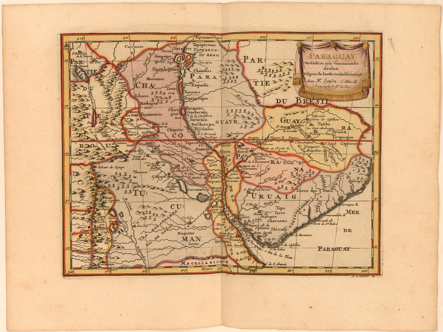
Paraguay Verdeelt in zyn voornaamste deelen Volgens de laatste reisbeschryvinge door N. Sanson d.'Abbeville, Geographe ordre. du Ro
Mapa 1600 - 1667
CARTA GEOGRÁFICA DEL ECUADOR POR DR. TEODORO WOLF;PUBLICADA POR ORDEN DEL SUPREMO GOBIERNO DE LA REPÚBLICA Y TRABAJADA BAJO LAS PRESIDENCIAS DE LOS EE. SEÑORES DR. D.J.M. PLÁCIDO CAAMAÑO Y DR. D. ANTONIO FLORES. 1892 ... INSTITUTO GEOGRAFICO DE H. WAGNER & E. DEBES EN LEIPZIG. (WITH) LA REGION ORIENTAL DEL ECUADOR. (WITH) ARCHIPIÉLAGO DE GALÁPAGOS.
Mapa 1892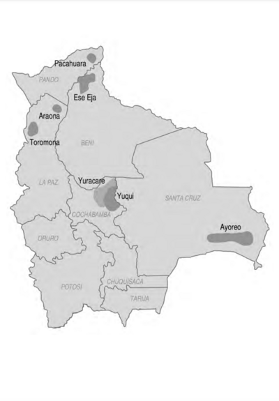
Mapa de Ubicacion de Grupos y Pueblos Indigenas en Aislamiento Voluntario
Mapa 2010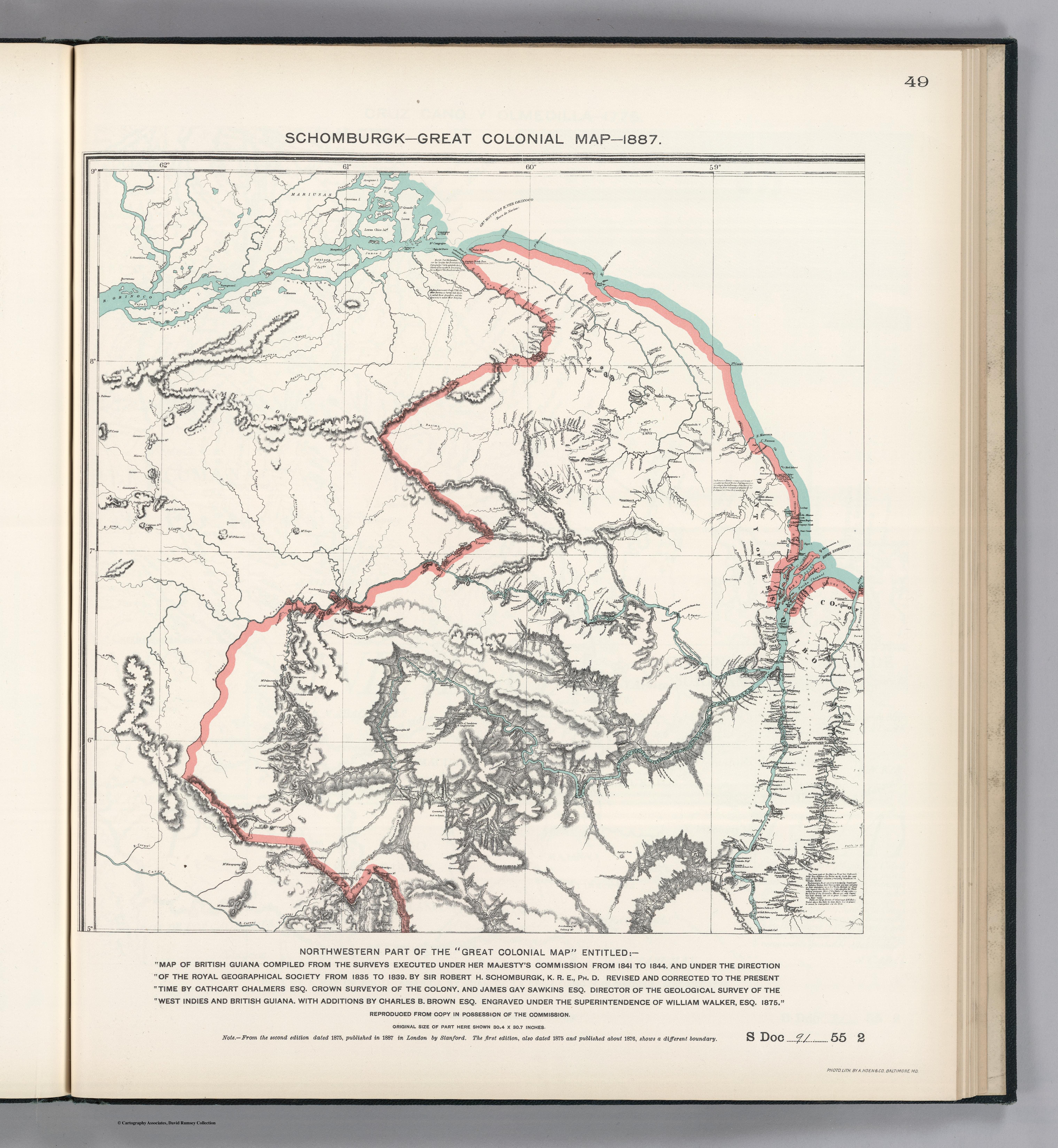
NORTHWEST PART OF THE "GREAT COLONIAL MAP"
Mapa 1875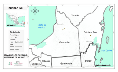
PUEBLO IXIL
Mapa 2020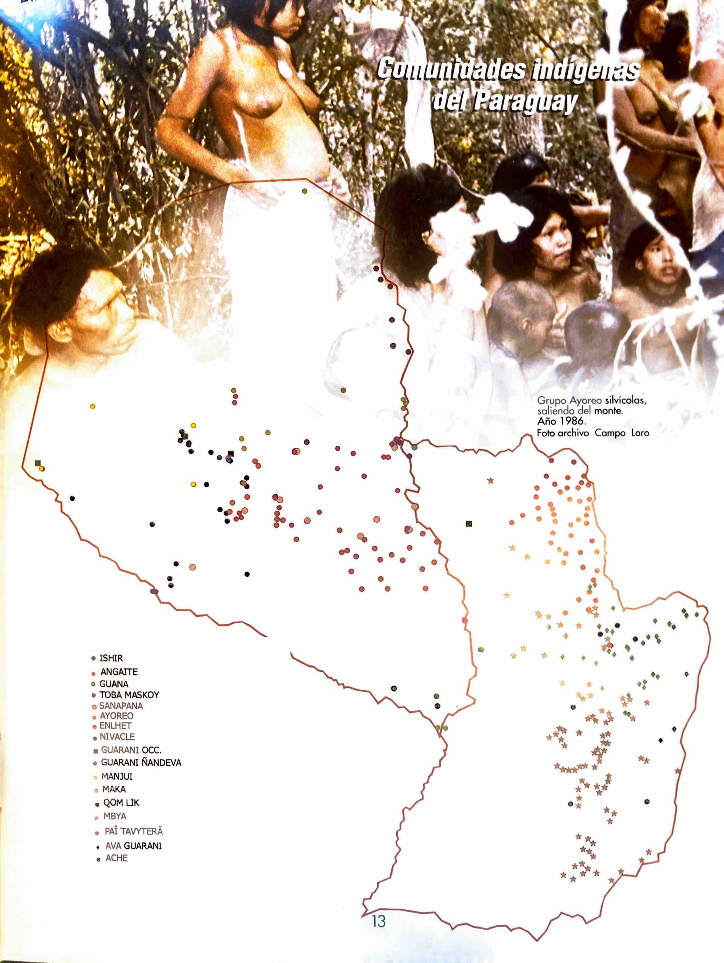
Comunidades indígenas del Paraguay
Mapa 2001![Paisaje [Paisagem]](https://dnet8ble6lm7w.cloudfront.net/art_sm/APER022.png)
Paisaje [Paisagem]
Obra de arte
Specialkarte von A. v. HUMBOLDT’S REISEN in VENEZUELA und am ORINOKO-STROM
Mapa 1799 - 1800