
Povos
- KIKAPU
Citation
Instituto Nacional de los Pueblos Indígenas. "Distribución por Entidad Federativa." Atlas de los pueblos indígenas de México. http://atlas.inpi.gob.mx/distribucion-por-entidad-federativa/.
Red Bank and Maya Mopan
Mapa 1997
FACSIMILE: SOUTH AMERICA BY D'ANVILL
Mapa 1748
A New Chart of Guayana with the colonies of Cayenne;Surinam;&c.
Mapa 1700 - 1799
The modern departments of Ahuachapán, La Libertad, Santa Ana, and Sonsonate (highlighted in red) now contain the highest concentration of Indigenous communities in El Salvador.
Mapa 2010
Linguistic Map of Southern Mexican Highlands and Adjacent Regions at Contact Period
Mapa 1969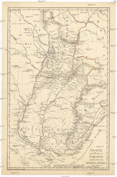
CHARTE eines Theils von PARAGUAY und der Provinz BUENOS-AYRES
Mapa 1809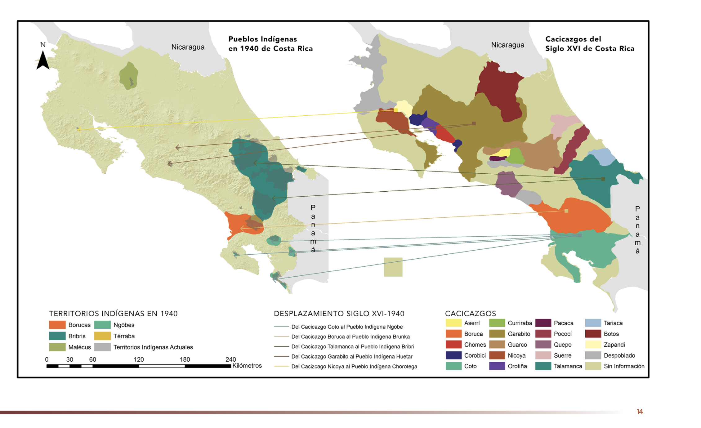
"Pueblos Indígenas 1940 y Cacicazgos del Siglo XVI de Costa Rica"
Mapa 1500 - 1899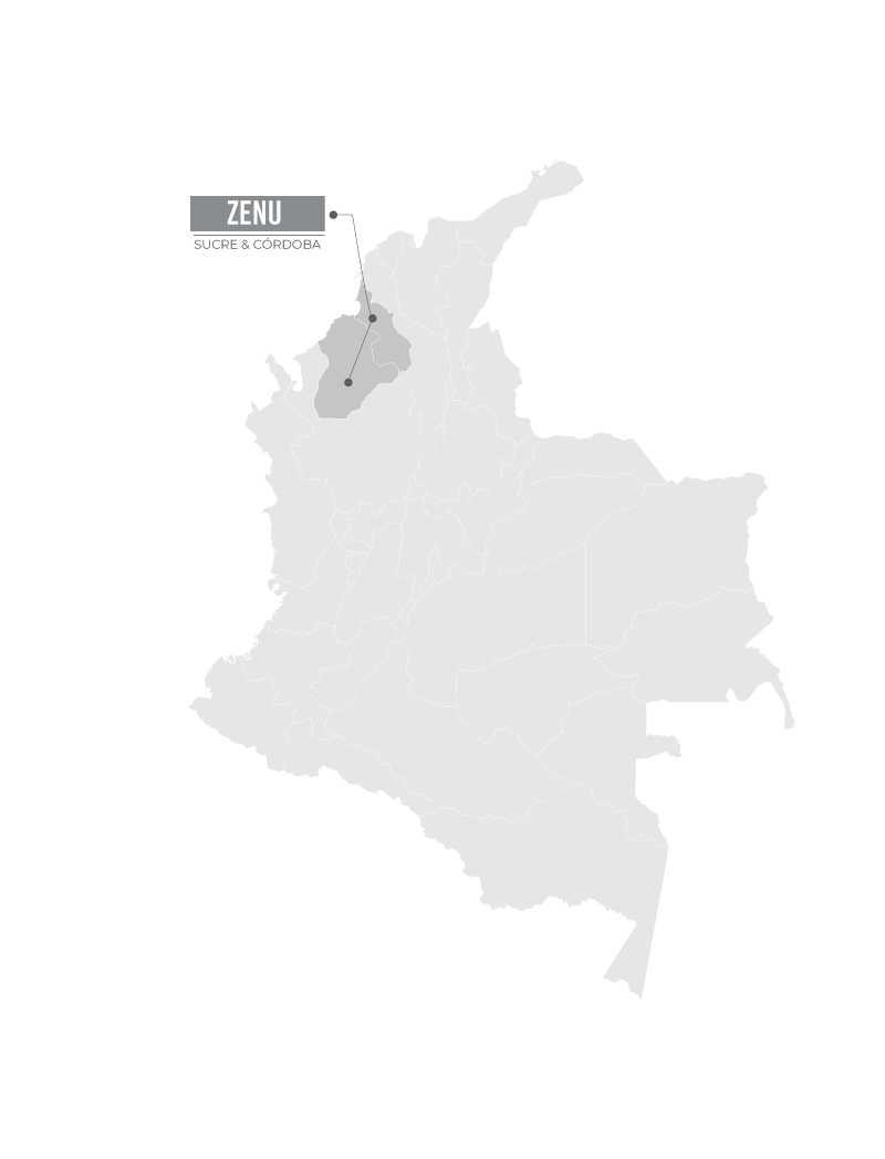
ZENU
Mapa