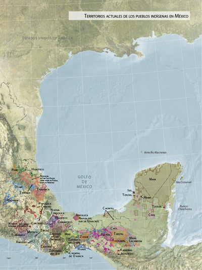
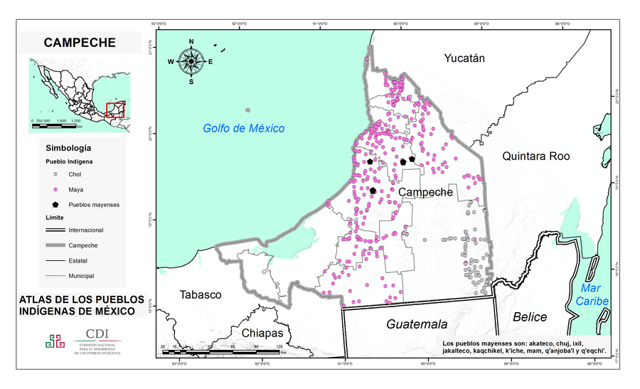
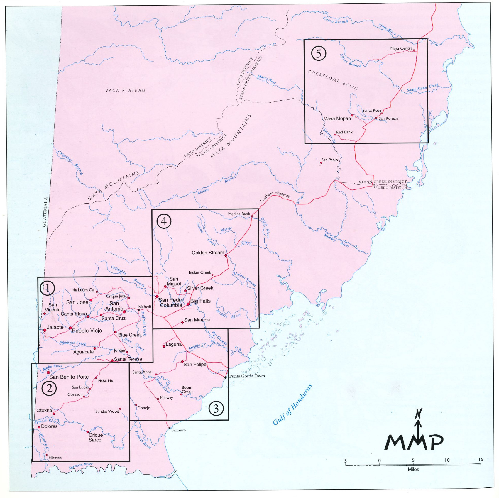
Dispossesions in the Americas

Dispossesions in the Americas

  • Lar
  • Explorar
  • Autores
  • Sobre
  • Arte
  • Corpos
  • Currículos
  • Patrimônio Cultural
  • Mapas
  • Territórios
Voltar à seção Explorar

Lendo em Inglês

Mapa 2015

CAMPECHE

  • INSTITUTO NACIONAL DE LOS PUEBLOS INDIGENAS

  • Baixar Imagem
  • Baixar Imagem

Lendo em Espanhol

Mapa 2015

CAMPECHE

  • INSTITUTO NACIONAL DE LOS PUEBLOS INDIGENAS

  • Baixar Imagem
  • Baixar Imagem
Mapa 2015

CAMPECHE

  • INSTITUTO NACIONAL DE LOS PUEBLOS INDIGENAS

  • Baixar Imagem

Povos

  • CHOL
  • MAYA
  • AKATECO
  • CHUH
  • IXIL
  • JAKALTECO
  • KAQCHIKEL
  • KICHE
  • MAM
  • QANJOBAL
  • QEQCHI

Citação

Instituto Nacional de los Pueblos Indígenas. "Distribución por Entidad Federativa." Atlas de los pueblos indígenas de México. http://atlas.inpi.gob.mx/distribucion-por-entidad-federativa/.

  • Baixar Imagem

Itens Relacionados

Village Groupings

Village Groupings

Mapa 1997
Territorios actuales de los pueblos indígenas en México

Territorios actuales de los pueblos indígenas en México

Mapa 2008
Algunos grupos chichimecas

Algunos grupos chichimecas

Mapa 2014
Carte particulière du gouvernement de Venezuela / dressée sur ce que les Espagnols en ont écrit par le Sr D'Anville

Carte particulière du gouvernement de Venezuela / dressée sur ce que les Espagnols en ont écrit par le Sr D'Anville

Mapa 1730
A Description of the Plantations in the Valley of Paneca

A Description of the Plantations in the Valley of Paneca

Mapa
‘INDIAN ROYAL TOWNS’ (REDUCCIONES) IN THE PACAJES PROVINCE (CORREGIMIENTO) UNDER SPANISH COLONIAL RULE IN THE LATE 16TH CENTURY

‘INDIAN ROYAL TOWNS’ (REDUCCIONES) IN THE PACAJES PROVINCE (CORREGIMIENTO) UNDER SPANISH COLONIAL RULE IN THE LATE 16TH CENTURY

Mapa 1570 - 1630
Map of Culhuacan (Valley of Mexico), 1580, Relacion geografica de Culhuacan

Map of Culhuacan (Valley of Mexico), 1580, Relacion geografica de Culhuacan

Mapa 1580
LAS TIERRAS DEL SEÑORÍO AYMARA DE LOS CHICHAS DE TALINA BAJO DOMINIO COLONIAL A FINES DEL SIGLO XVI

LAS TIERRAS DEL SEÑORÍO AYMARA DE LOS CHICHAS DE TALINA BAJO DOMINIO COLONIAL A FINES DEL SIGLO XVI

Mapa 1573 - 1595

Despossessões nas Américas

Um projeto de

University of Pennsylvania

Copyright 2024

Com o apoio de

Mellon Foundation

Projeto e desenvolvimento do site

Element 84

Créditos da arte

Instituto Nacional de los Pueblos Indígenas. “Distribución por Entidad Federativa.” Atlas de los pueblos indígenas de México. http://atlas.inpi.gob.mx/distribucion-por-entidad-federativa/.

Páginas do site

  • Lar
  • Explorar
  • Autores
  • Sobre
  • Arte
  • Corpos
  • Currículos
  • Patrimônio Cultural
  • Mapas
  • Territórios