
Citação
Tanck de Estrada, Dorothy. Atlas Ilustrado de los Pueblos de Indios: Nueva España, 1800. México: El Colegio de México, 2005. N/A - NO DIGITAL ACCESS
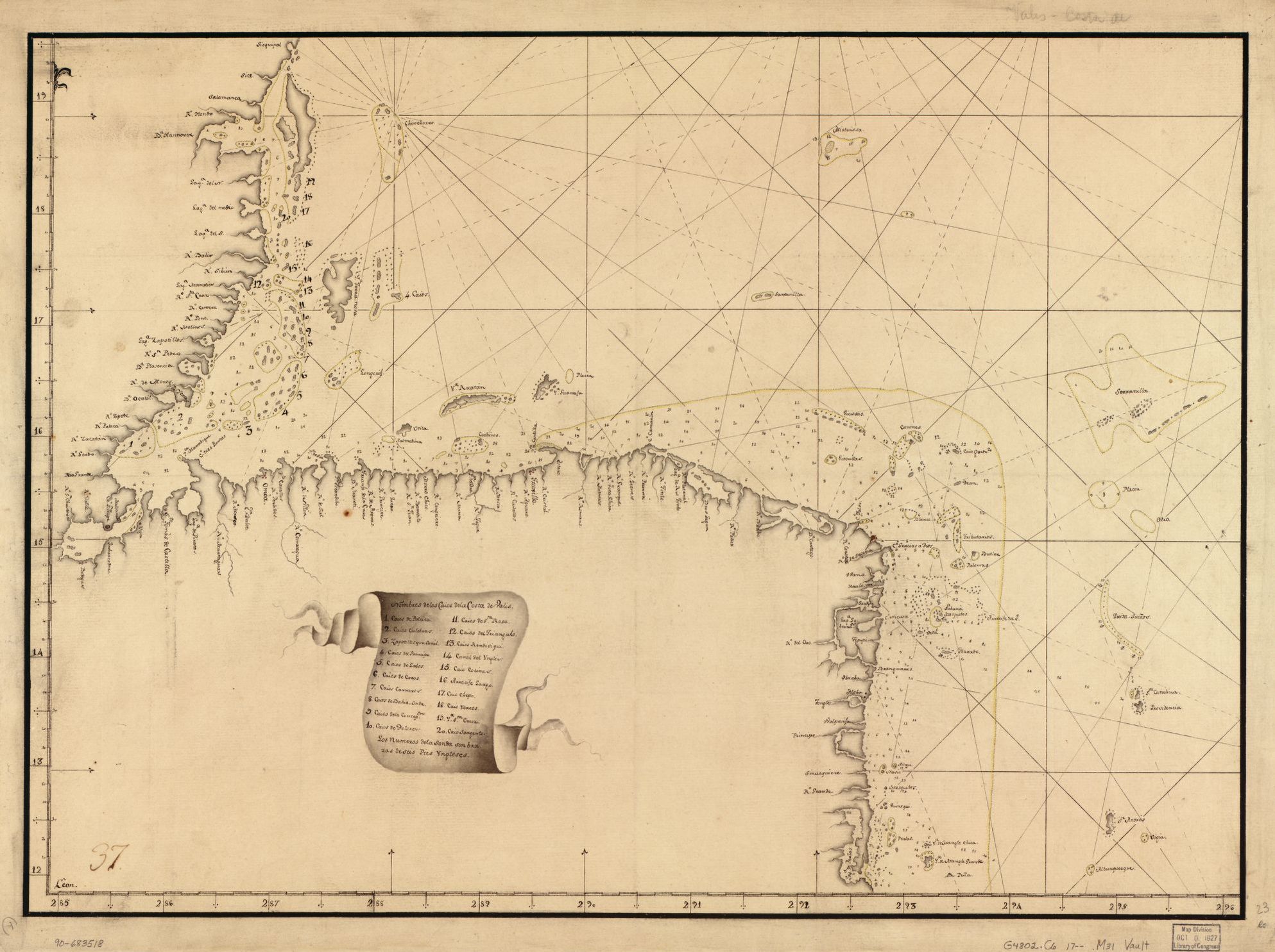
Map showing Caribbean coast of Central America from Belize to Nicaragua.
Mapa 1700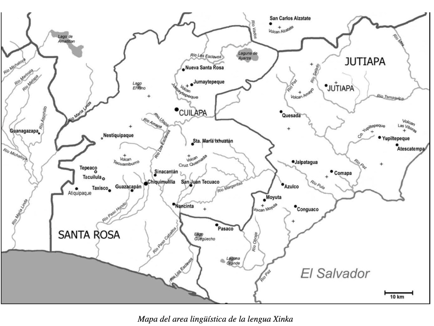
Mapa del area lingüística de la lengua Xinka
Mapa 2015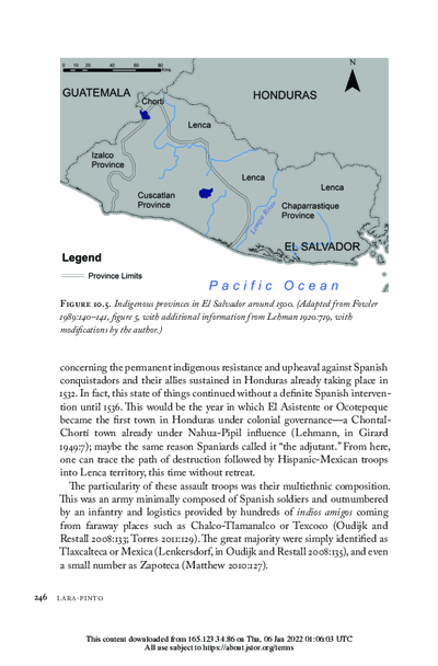
Indigenous provinces in El Salvador around 1500. (Adapted from Fowler 1989140-141, figure 5, with additional information from Lehman 1920:719, with modifications by the author.)
Mapa 1500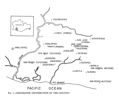
Geographic Distribution of the Chatino
Mapa 1969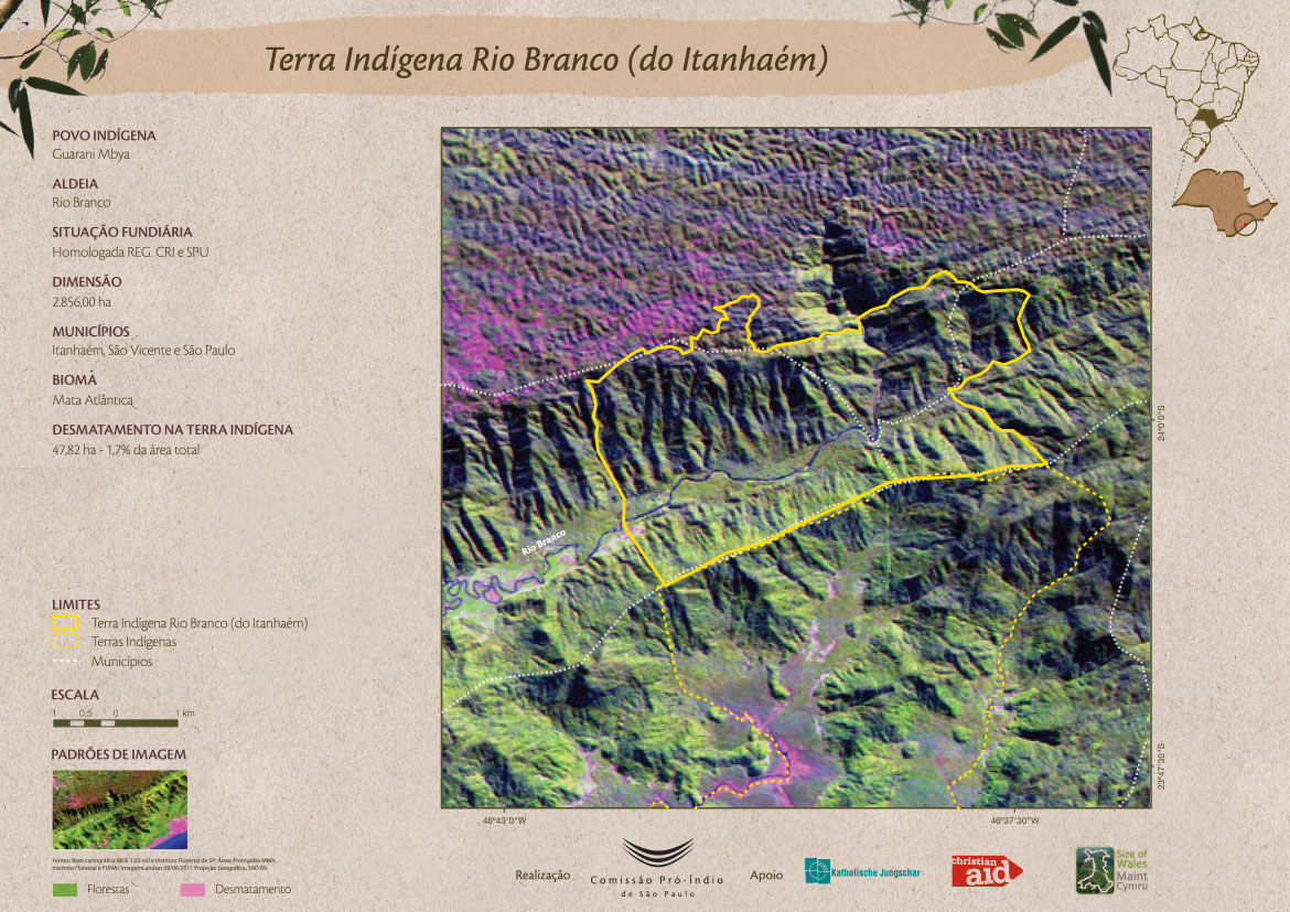
Terra Indígena Rio Branco (do Itanhaém)
Mapa 2011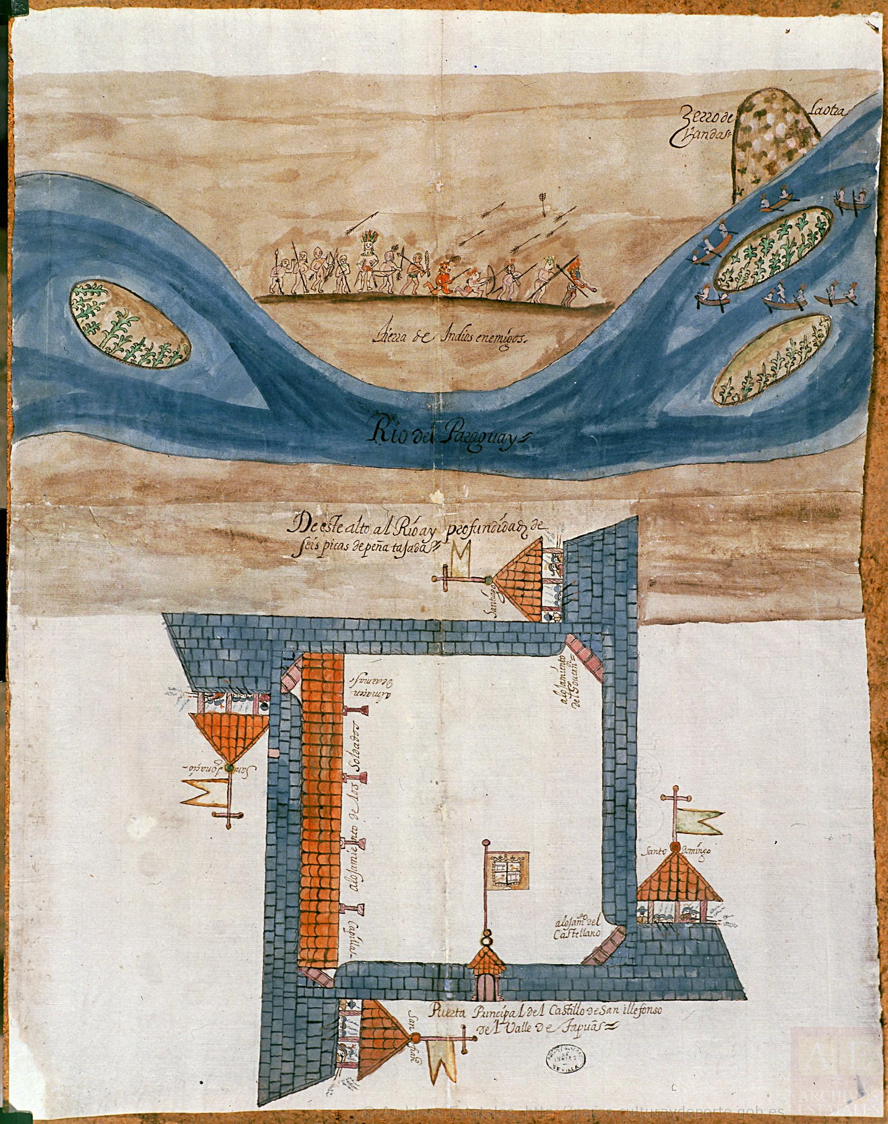
Plano del castillo de San Ildefonso, a orillas del río Paraguay
Mapa 1600 - 1650
Karaiw A'e Wà (Os Civilizados)
Obra de arte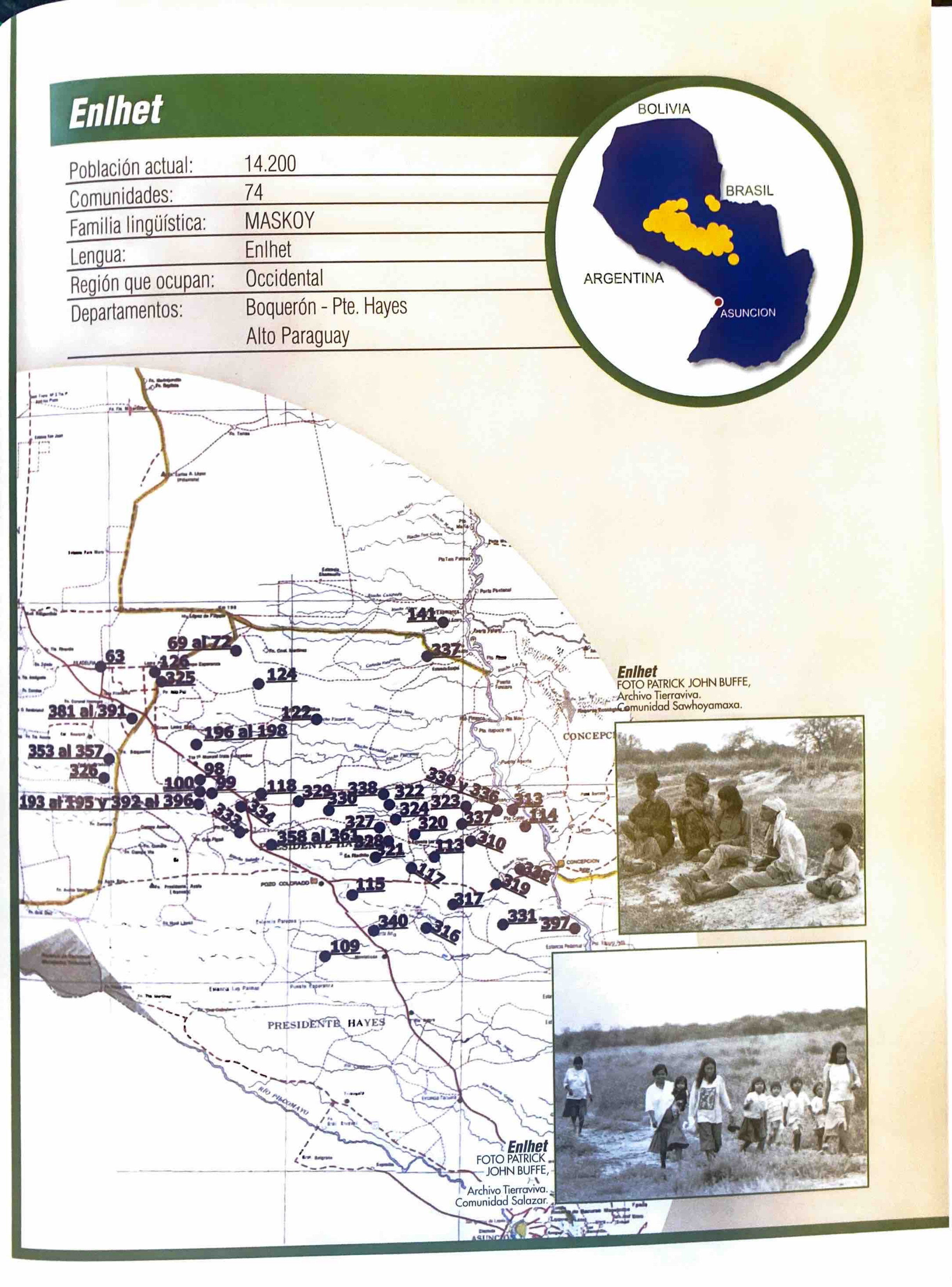
Enlhet
Mapa 2001