Citation
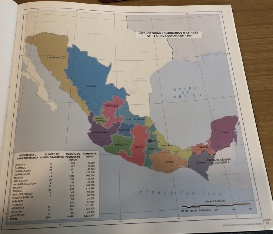
Tanck de Estrada, Dorothy. Atlas Ilustrado de los Pueblos de Indios: Nueva España, 1800. México: El Colegio de México, 2005.

THE CARIBBEE ISLANDS AND GUAYANA DRAWN BY L. DELAROCHETTE
Mapa 1776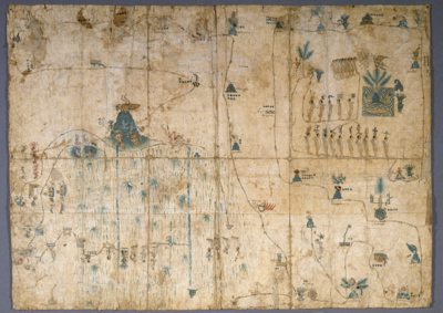
MAPA DE SIGUENZA/MAP OF SIGUENZA
Mapa 1500 - 1599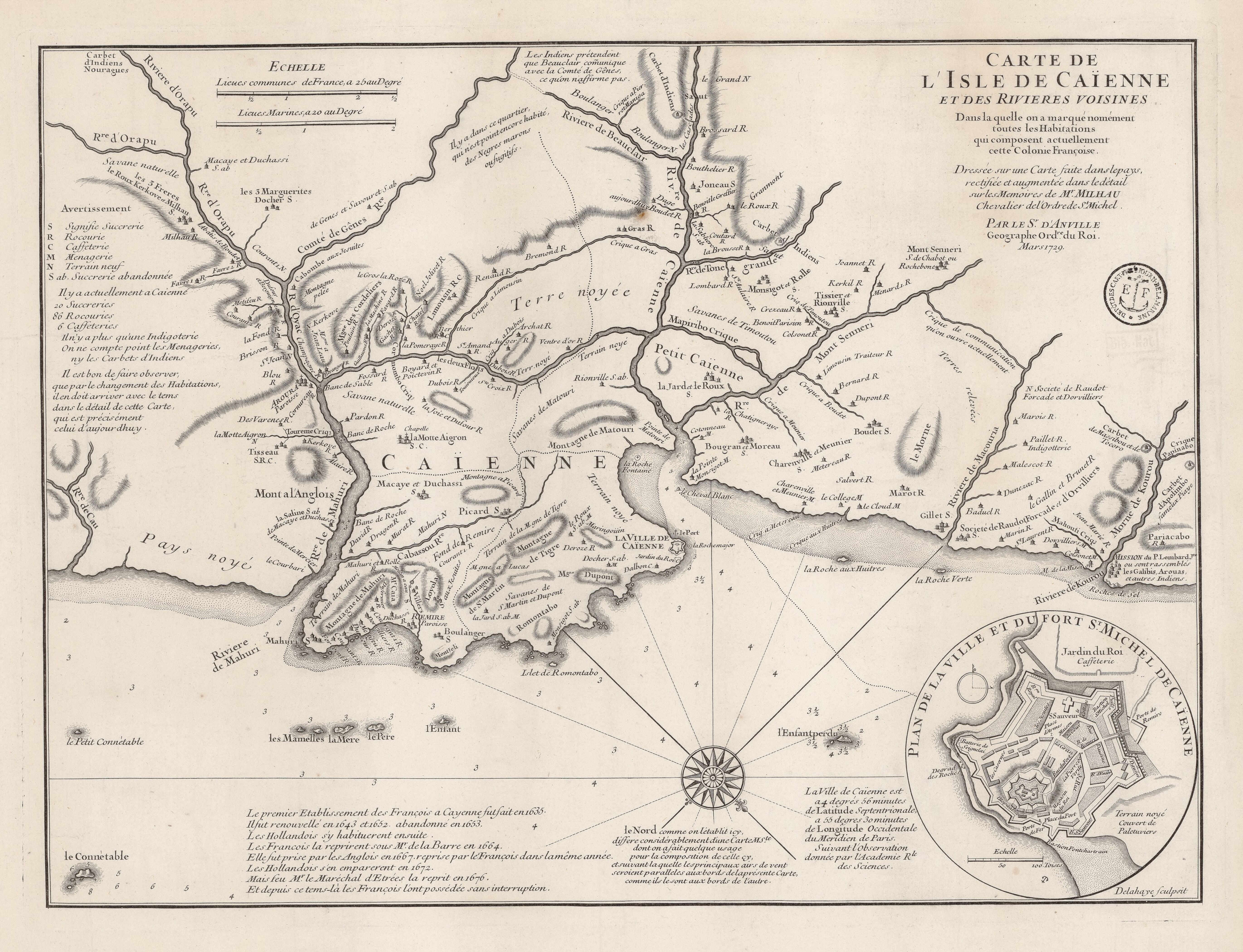
Carte de l'Isle de Caïenne et des rivières voisines dans laquelle on a marqué nommément toutes les habitations qui composent actuellement cette colonie françoise
Mapa 1729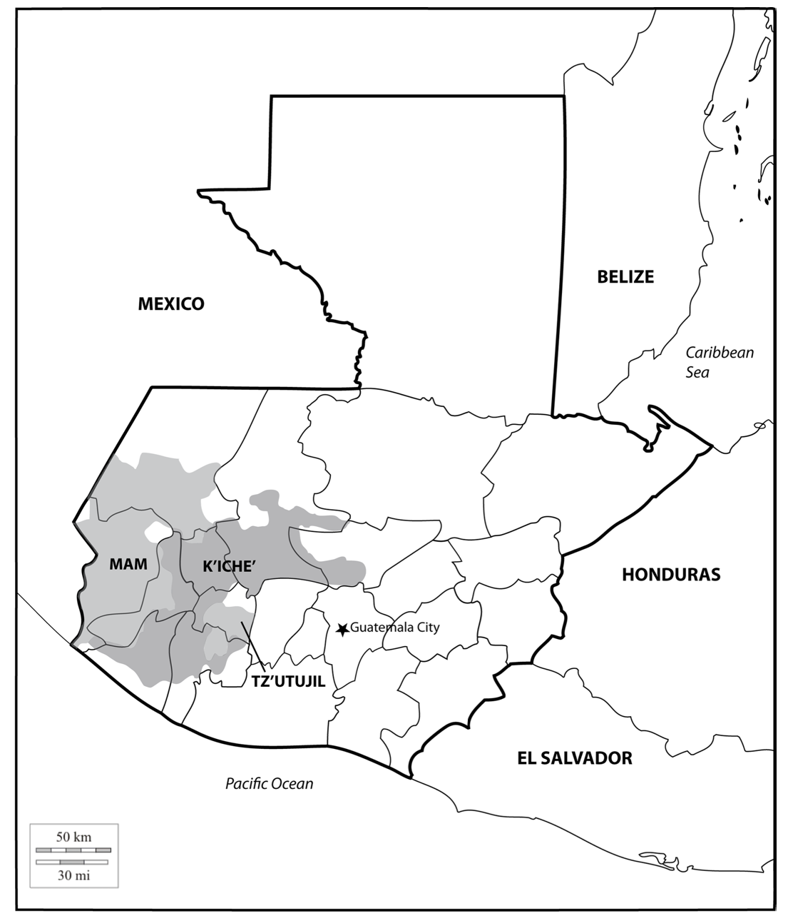
Location of three ethno-linguistic groups in the highlands of Guatemala in which joint InHerit-Riecken community-participant mapping took place. Adapted from http://d-maps. com/carte.php?num_car=1717&lang=en)
Mapa 2000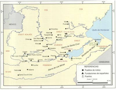
Principales poblados de la Verapaz y localización de los idomas d ela zona, siglo XVI.
Mapa 1600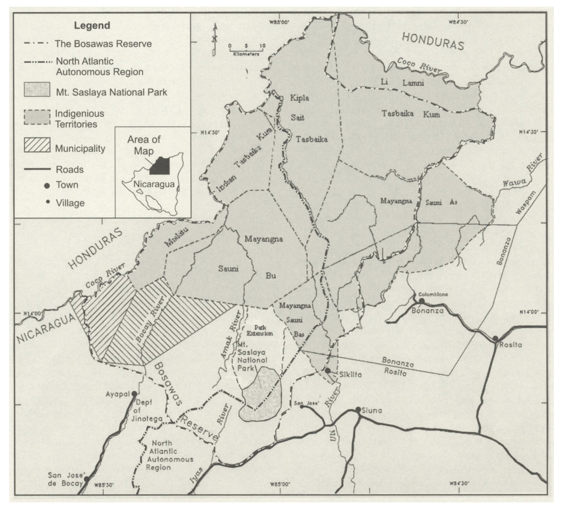
The Bosawa Reserve and Indigenous Territories;Nicaragua.
Mapa 2000 - 2003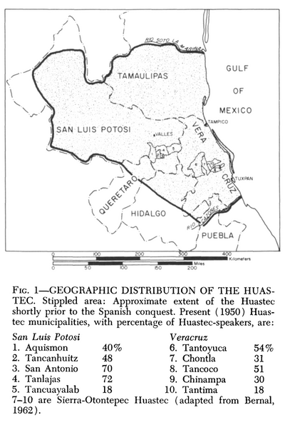
Geographic Distribution of the Huastec
Mapa 1969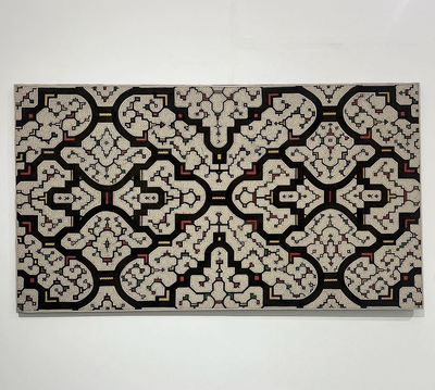
Xao Kené, Centro Shipibo Conibo
Obra de arte