Povos
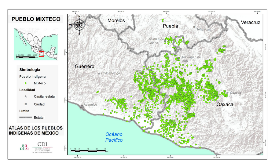
- MIXTECO
Citation
Instituto Nacional de los Pueblos Indígenas. "Mixtecos – Ubicación." Atlas de los Pueblos Indígenas de México. Accessed July 7, 2021. http://atlas.inpi.gob.mx/mixtecos-ubicacion/.
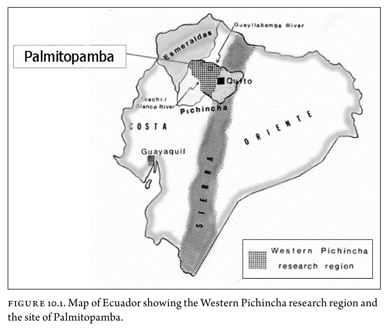
Figure 10.1. Map of Ecuador showing the Western Pichincha research region and the site of Palmitopamba.
Mapa -700 - 1534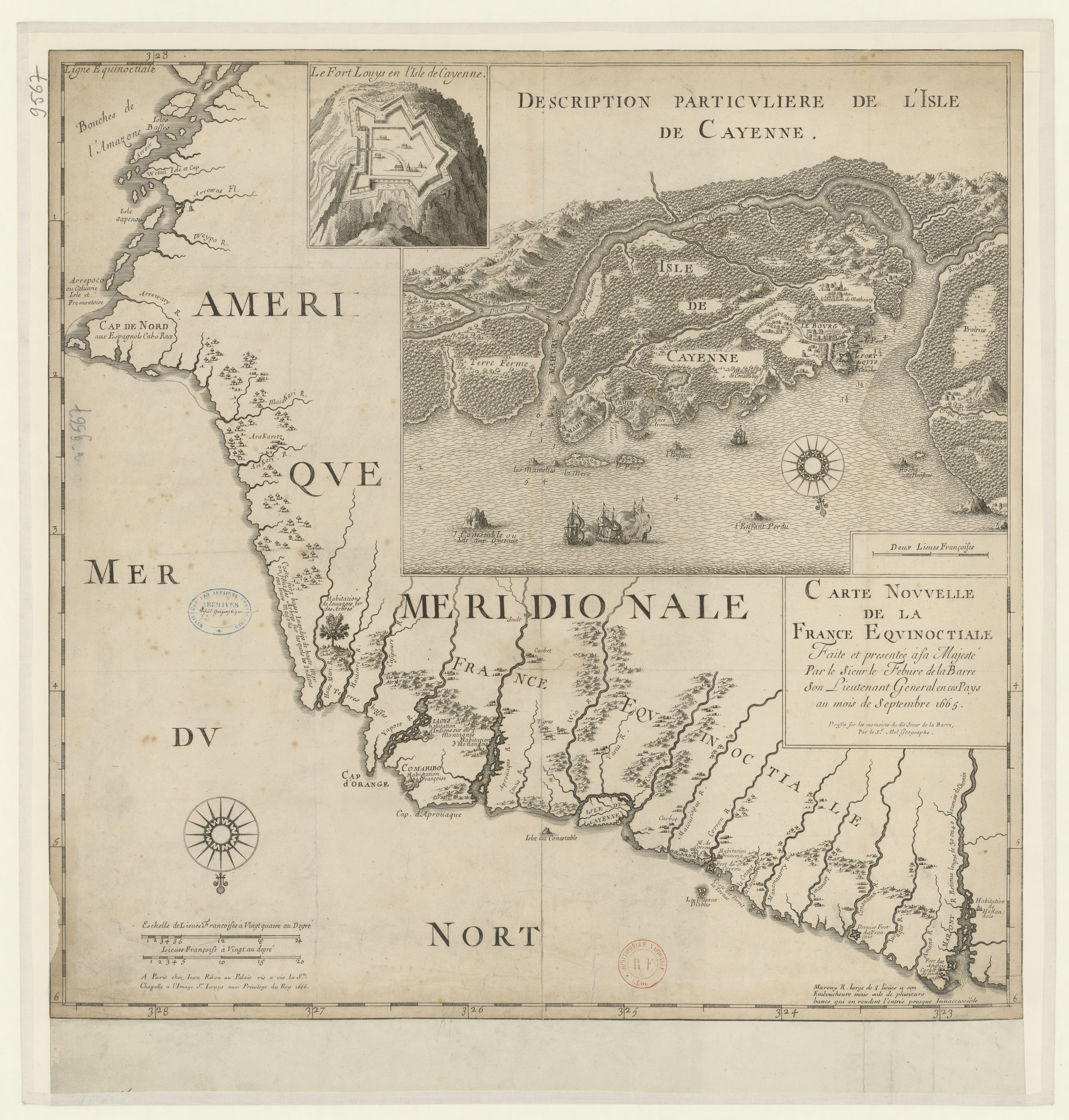
Carte nouvelle de la France Equinoctiale faite et présentée à sa Majesté par le SieurLe Febure de la Barre son Lieutenant Généralen ces pays au mois de septembre 1665
Mapa 1665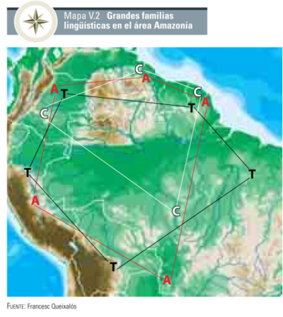
Grandes familias lingüísticas en el área Amazonía
Mapa 1399 - 2009
XXIV. Carte du Rio Grande de la Magdalena, depuis ses sources jusqu'a son embouchure.
Mapa 1799 - 1804
CARTE DU THÉÂTRE DE LA GUERRE ENTRE LE BRÉSIL, LA CONFÉDÉRATION ARGENTINE, LA RÉPUBLIQUE DE L'URUGUAY & LE PARAGUAY
Mapa 1864 - 1865
LA POBLACIÓN INDIGENA DEL GRAN CHACO A mediados del Siglo XVII
Mapa 1612
MAPA DE SAN MATEO IXTLAHUACAN
Mapa 1500 - 1599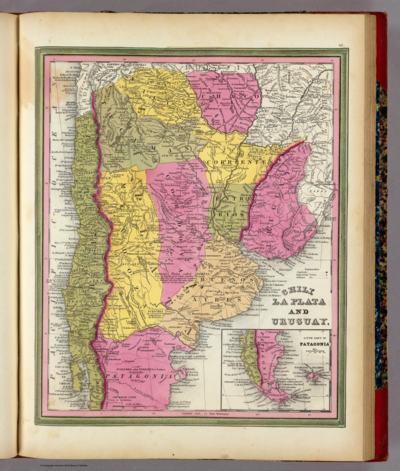
CHILE LA PLATA AND URUGUAY
Mapa 1836