
Povos
- KICHE
Citação
Instituto Nacional de los Pueblos Indígenas. "K'iches – Ubicación." Atlas de los Pueblos Indígenas de México. Accessed July 7, 2021. http://atlas.inpi.gob.mx/kiches-ubicacion/.
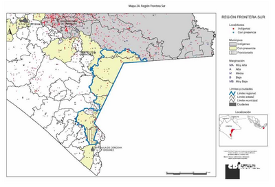
REGIÓN FRONTERA SUR
Mapa 2000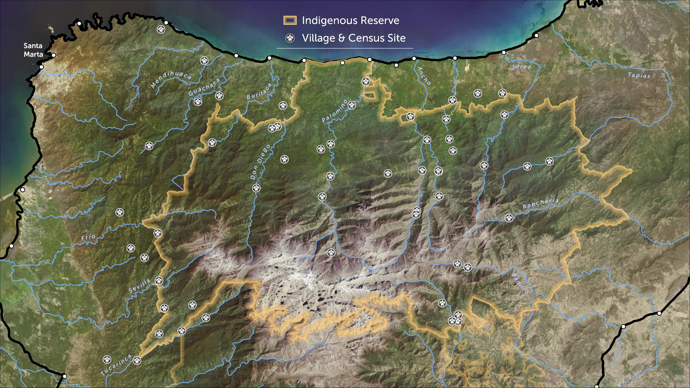
STRENGTHENING INDIGENOUS LAND RIGHTS IN COLOMBIA
Mapa 2019 - 2020![Tawahka homeland, 1916: Showing Río Wampú (Wanpo), Río Patuca (Butuk), Cerro Quigungun (Wangkibila Volc [anol]), and the first cartographical rendering of Krautara (Moravian Archives, Bethlehem, Pennsylvania, Heath 1916)](https://dnet8ble6lm7w.cloudfront.net/maps_sm/HON/HON0014.png)
Tawahka homeland, 1916: Showing Río Wampú (Wanpo), Río Patuca (Butuk), Cerro Quigungun (Wangkibila Volc [anol]), and the first cartographical rendering of Krautara (Moravian Archives, Bethlehem, Pennsylvania, Heath 1916)
Mapa 1916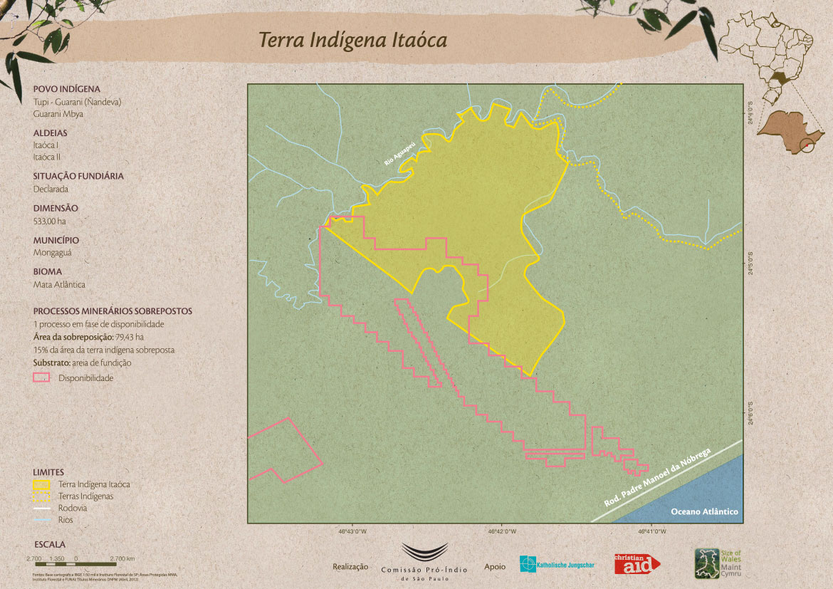
Terra Indígena Itaóca
Mapa 2012
Orí Odé
Obra de arte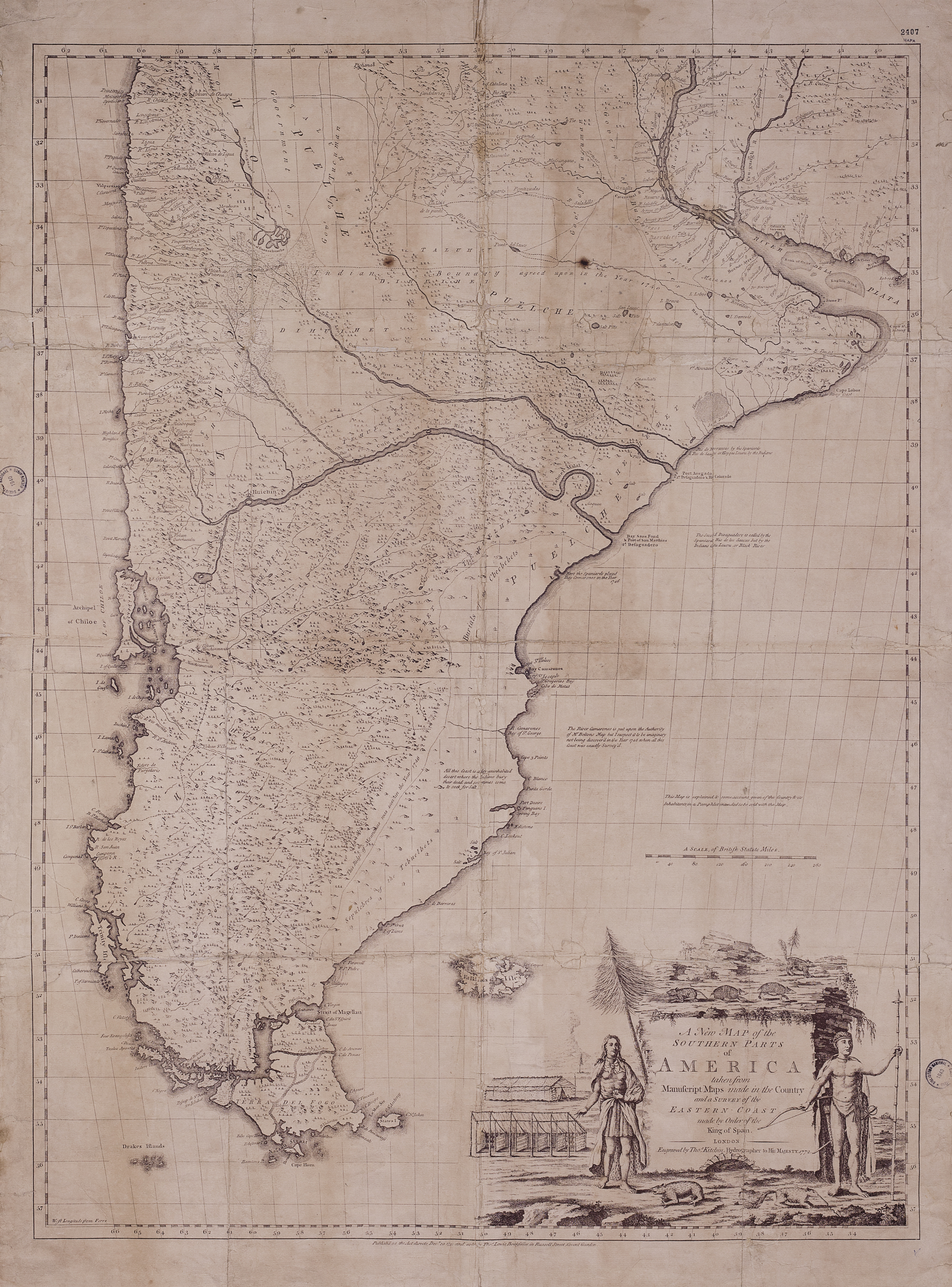
A New Map of the Southern Parts of America
Mapa 1772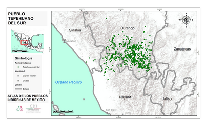
PUEBLO TEPEHUANO DEL SUR
Mapa 2020![Seropositivo [Livro de Visitas] [Soropositivo]](https://dnet8ble6lm7w.cloudfront.net/art_sm/ACOL011.png)
Seropositivo [Livro de Visitas] [Soropositivo]
Obra de arte