
Povos
- HUASTECO
Citation
Instituto Nacional de los Pueblos Indígenas. "Huastecos – Ubicación." Atlas de los Pueblos Indígenas de México. Accessed August 11, 2021. http://atlas.inpi.gob.mx/huastecos-ubicacion/.
Carte des colonies Française et Hollandaise de la Guyane Dressée d'après les cartes de N. Buache et de S. Mentelle Capitaine d'Infanterie
Mapa 1800 - 1899
PROVINCIE DELLO SPIRITO SANTO E DI PORTO SICURO
Mapa 1600 - 1699
ECUADOR;NEW GRANADA;VENEZUELA;AND GUIANA.
Mapa 1800 - 1899
CARTE DE LA PROVINCE DE RIO DE JANEIRO
Mapa 1824
Fig. 1 Map of the Guianas with schematic locations of the indigenous groups relevant to our study, based on the linguistic map of South America (http://www.muturzikin.com/cartesamerique/ 7.htm). Carib-speaking groups are indicated in yellow, Arawak-speaking groups in blue, Tupi-speaking Wayãpi in pink and the Warao-speaking group in green
Mapa 2000 - 2024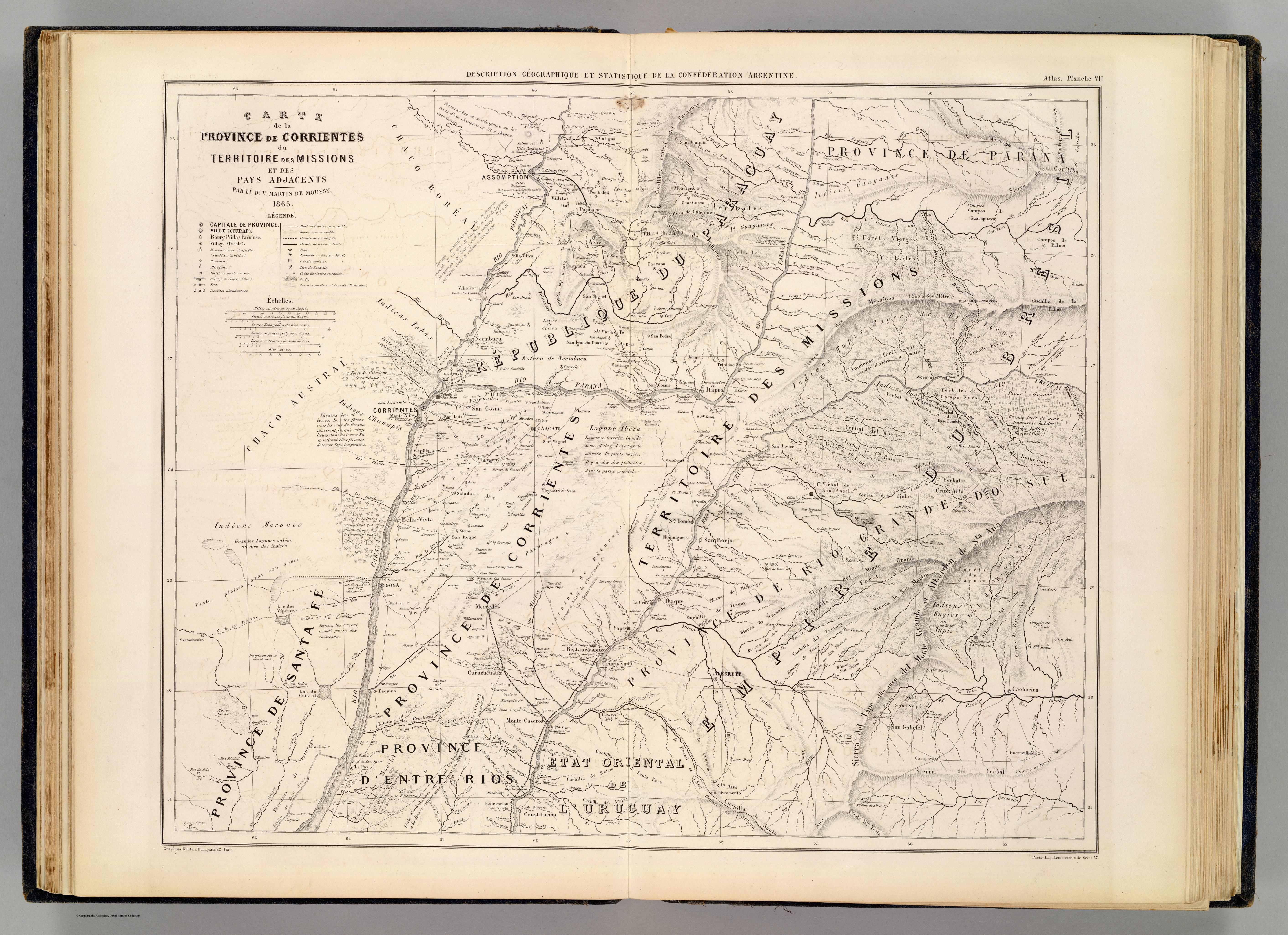
CARTE de la PROVINCE de CORRIENTES du TERRITOIRE des MISSIONS et des PAYS ADJACENTS
Mapa 1865![Descricción [sic] Plan del Río Tinto con su Pueblo, Barra y pies de agua que hai como demuestran los números;fortalezas como marca el Abezedario](https://dnet8ble6lm7w.cloudfront.net/maps/HON/HON0035.jpg)
Descricción [sic] Plan del Río Tinto con su Pueblo, Barra y pies de agua que hai como demuestran los números;fortalezas como marca el Abezedario
Mapa 1743 - 1744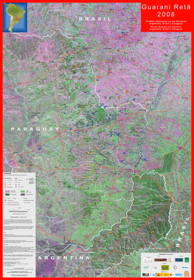
Guarani Retã 2008: Pueblos Guaraníes en las fronteras Argentina, Brasil y Paraguay
Mapa 2008