
Povos
- MUSKETOR
Citação
Penhallow, Samuel. The Spanish and Musketor shore and the bay of Honduras and the islands adjacent. Map. London, England, 1735. Accessed August 6, 2023. https://gallica.bnf.fr/ark:/12148/btv1b5970790d/f1.item.r=Honduras.zoom.
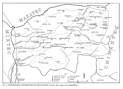
Geographical Distribution of the Cuicatec
Mapa 1969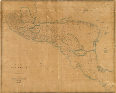
Map of Guatemala: reduced from the survey in the archives of that country.
Mapa 1826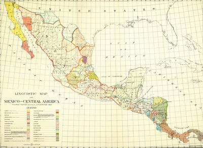
LINGUISTIC MAP OF MEXICO AND CENTRAL AMERICA
Mapa 1909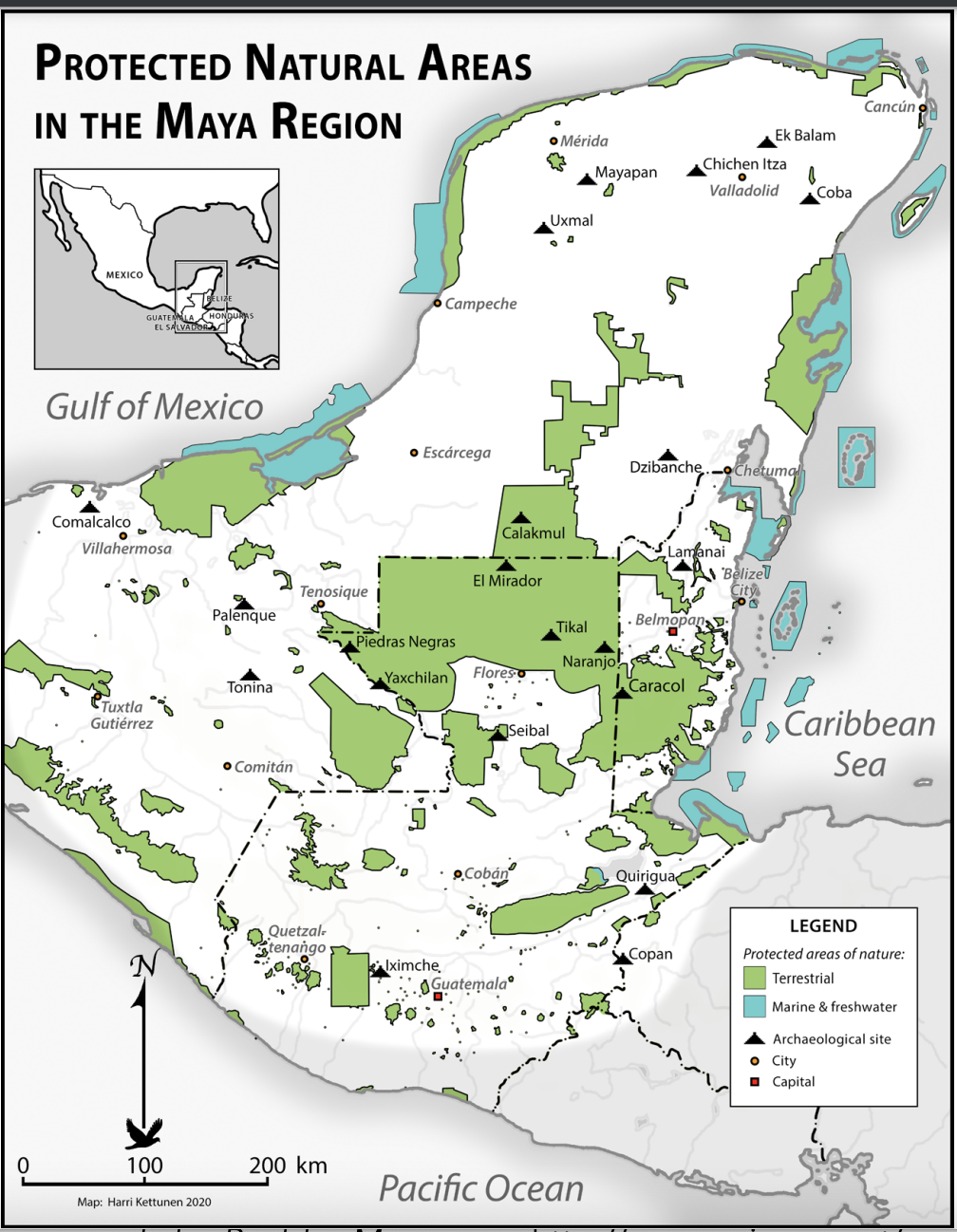
Protected Natural Areas in the Maya Region
Mapa 2000 - 2100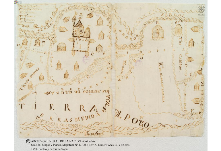
Pueblo y tierras de Sopó
Mapa 1758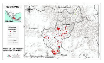
QUERÉTARO
Mapa 2015![[Cartes de S. Domingue, de Cuba, de la Martinique et de la Guadeloupe]](https://dnet8ble6lm7w.cloudfront.net/maps/CNT/CNT0219.jpeg)
[Cartes de S. Domingue, de Cuba, de la Martinique et de la Guadeloupe]
Mapa 1700 - 1799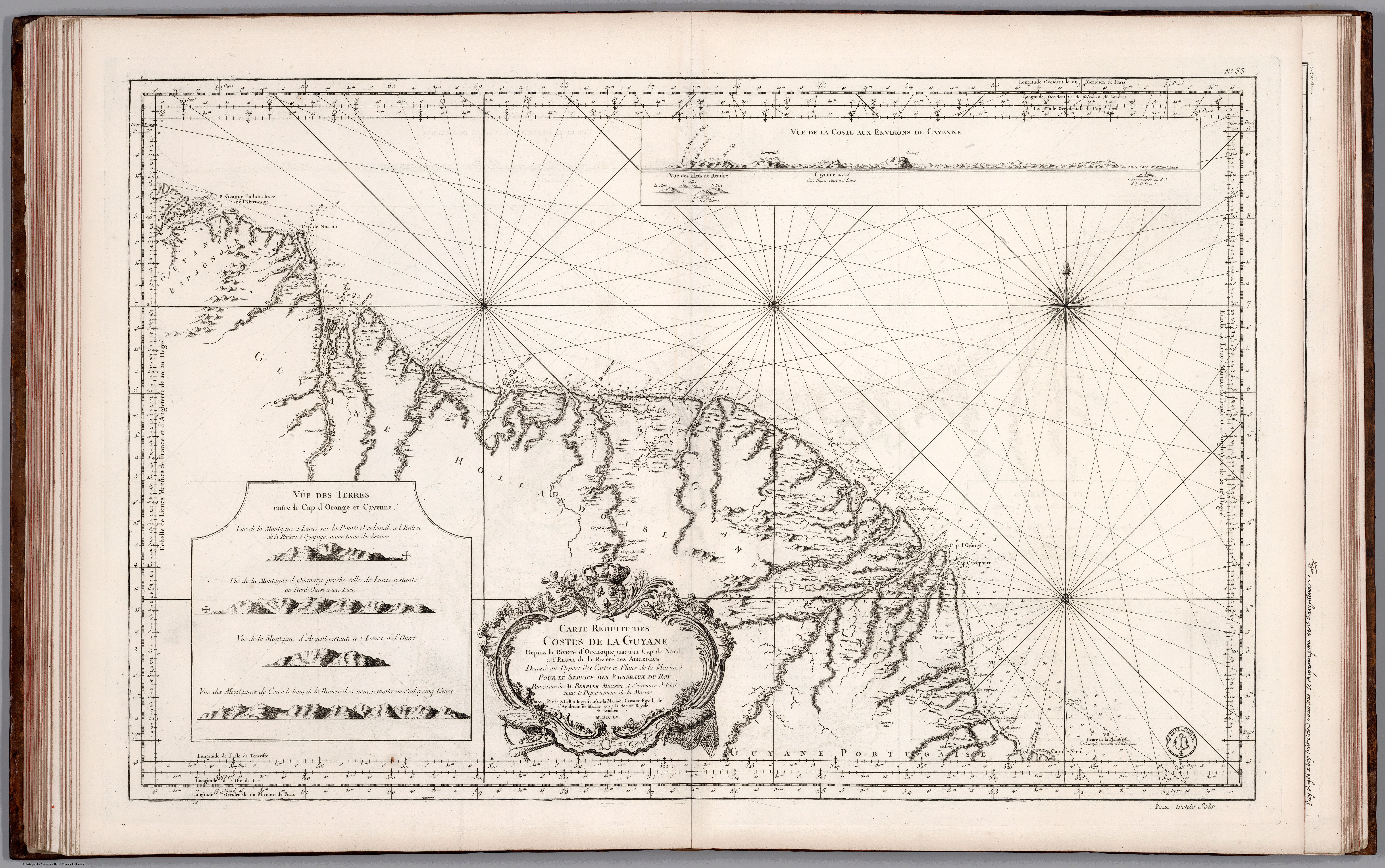
Carte Réduite des Costed de la Guyane Despuis la Riviere d'Orenoque jusqu'au Cap de Nord à l'Entrée de la Riviere des Amazones.
Mapa 1760