
Povos
- MUSKETOR
Citation
Penhallow, Samuel. The Spanish and Musketor shore and the bay of Honduras and the islands adjacent. Map. London, England, 1735. Accessed August 6, 2023. https://gallica.bnf.fr/ark:/12148/btv1b5970790d/f1.item.r=Honduras.zoom.
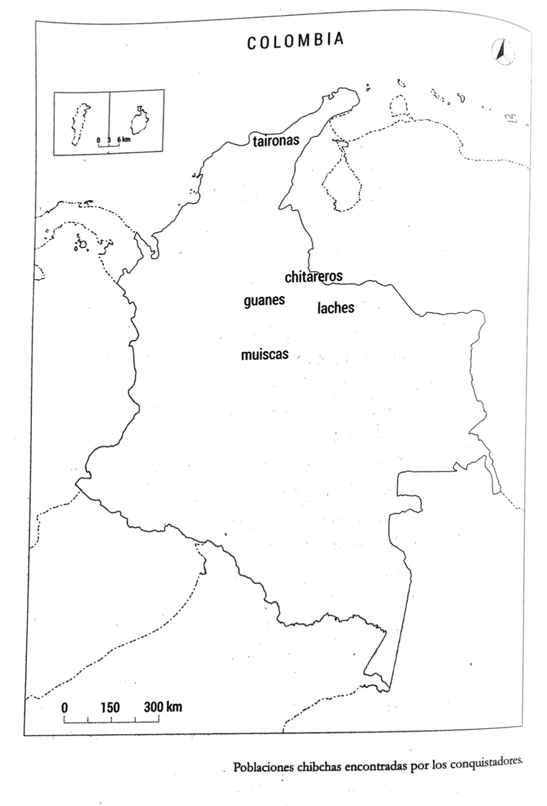
PUEBLOS CHIBCHAS ENCONTRADOS POR CONQUISTADORES
Mapa 1399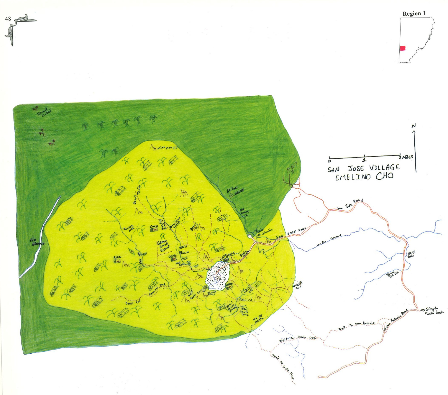
San Jose
Mapa 1997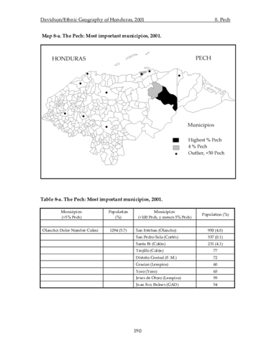
The Pech: Most important municipios, 2001
Mapa 2001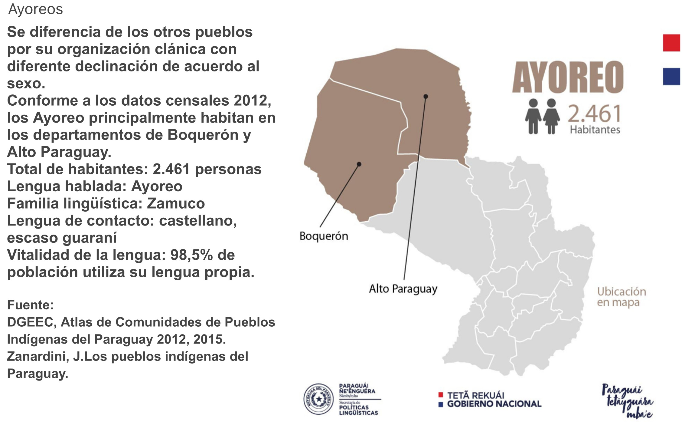
AYOREO
Mapa 2015
Tabula Americæ Specialis, Geographica Regni Peru, Brasiliæ, Terræ Firmæ
Mapa 1770
NOVA ET EXACTA DELINEATIO AMERICA
Mapa 1534
La problemática de los pueblos originarios en la Argentina y el impacto social de la gestión de los bosques nativos
Mapa 2018
Carte (idéale) de la Province du Choco, 1744 / d'après celle de Don Francisco Mora envoyée a Don Gregorio de Vicuna curé de Cuenca
Mapa 1744