
Povos
- TAWAHKA
Citação
Davidson, William V. Ethnic Geography of Honduras, 2001: Tables and Maps based on the National Census. Memphis, TN, 2011. PDF. http://williamvdavidson.com/pdf/Ethnic-Geography-of-Honduras-2001-Davidson.pdf
![[Carte de l'Amérique équinoxiale et du Brésil]](https://dnet8ble6lm7w.cloudfront.net/maps_sm/CNT/CNT0170.png)
[Carte de l'Amérique équinoxiale et du Brésil]
Mapa 1700 - 1799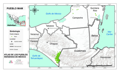
PUEBLO MAM
Mapa 2020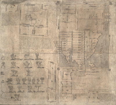
MAPA DE OZTOTÍCPAC
Mapa 1500 - 1599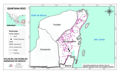
QUINTANA ROO
Mapa 2015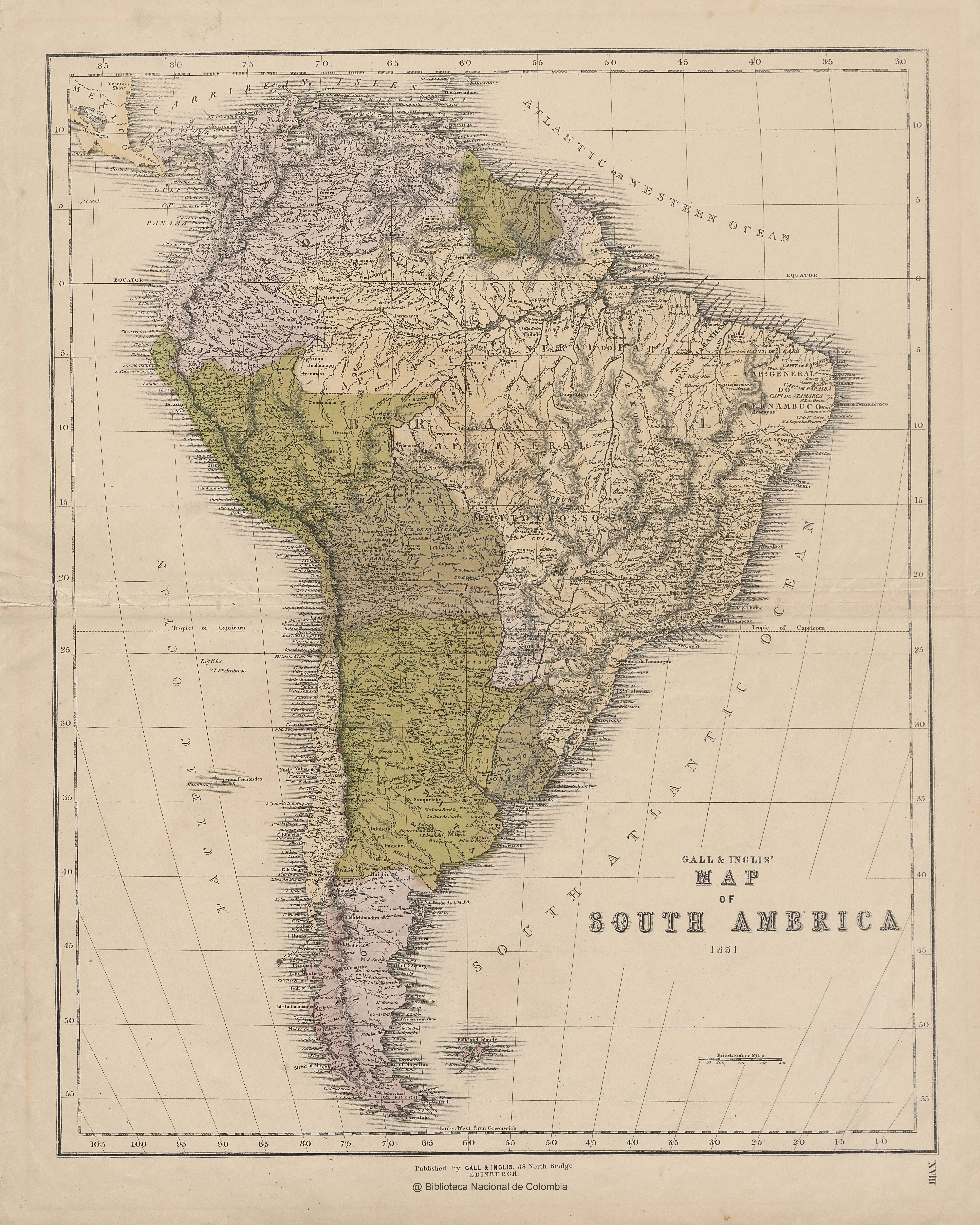
GALL & INGLIS' MAP OF SOUTH AMERICA
Mapa 1851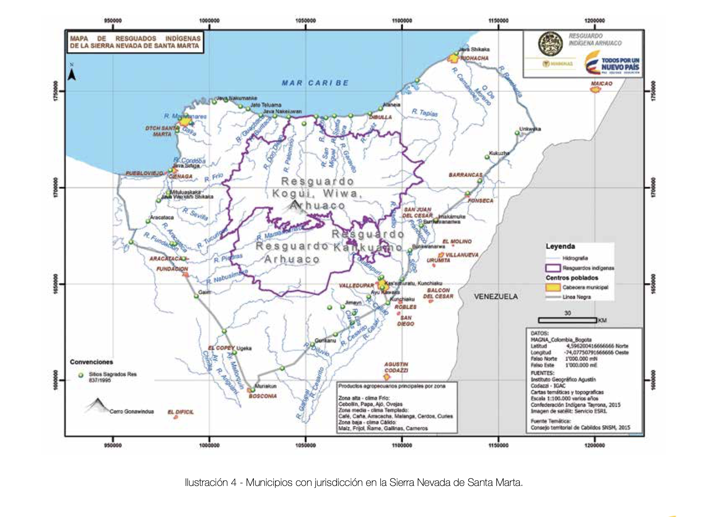
MUNICIPIOS CON JURISDICCION EN LA SIERRA NEVADA DE SANTA MARIA
Mapa 2015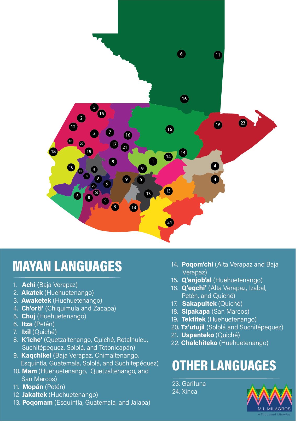
Indigenous languages in Guatemala
Mapa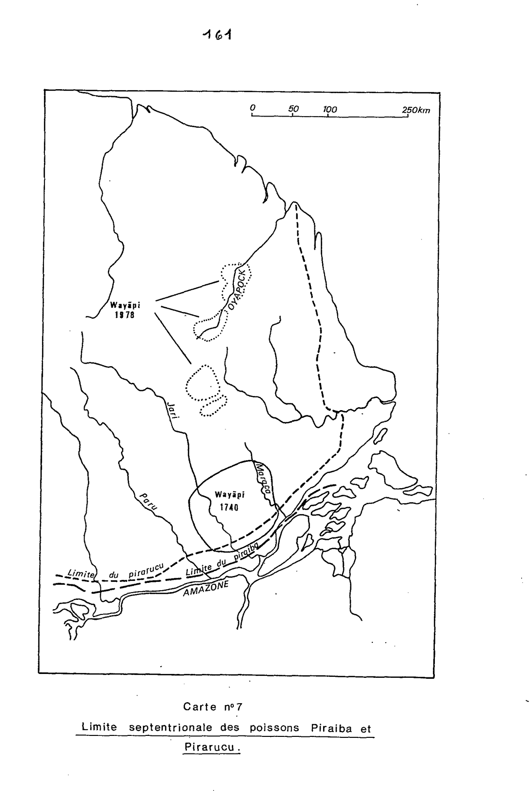
Carte n°7: Limite septentrionale des poissons Paraiba et Pirarucu
Mapa 1740 - 1978