
Povos
- TAWAHKA
Citation
Davidson, William V. Ethnic Geography of Honduras, 2001: Tables and Maps based on the National Census. Memphis, TN, 2011. PDF. http://williamvdavidson.com/pdf/Ethnic-Geography-of-Honduras-2001-Davidson.pdf
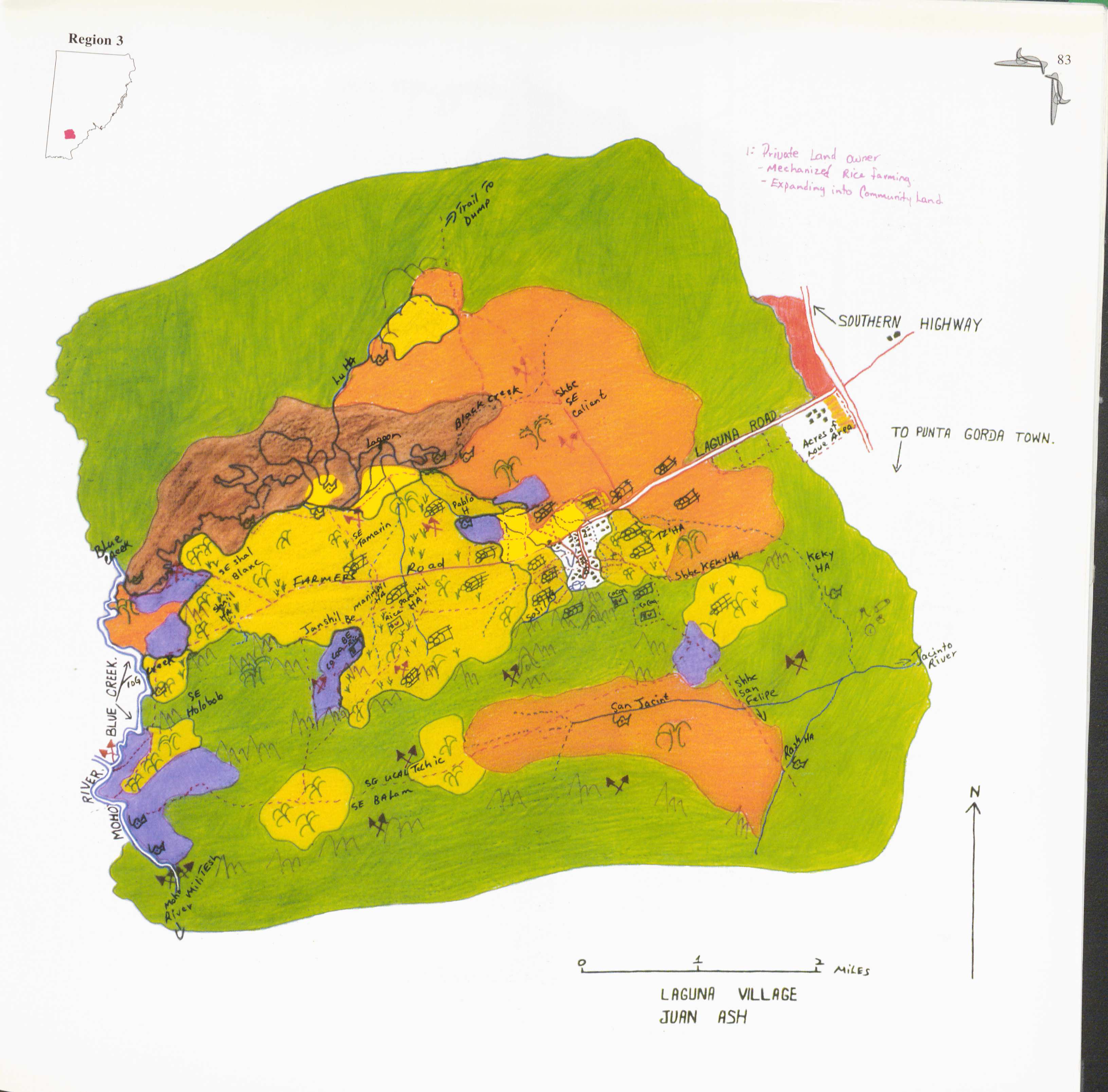
Laguna
Mapa 1997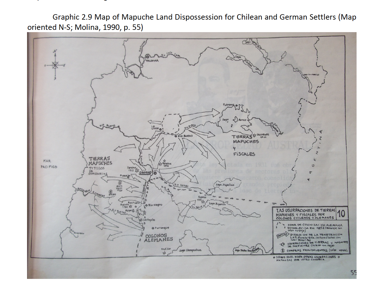
Map of Mapuche Land Dispossession for Chilean and German Settlers
Mapa 1911 - 1952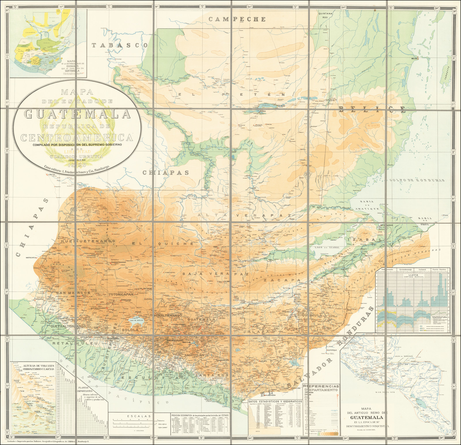
MAPA DEL ANTIGUO REINO DE GUATEMALA EN LA EPOCA DE SU DESCUBRIMIENTO Y CONQUISTA
Mapa 1900 - 1999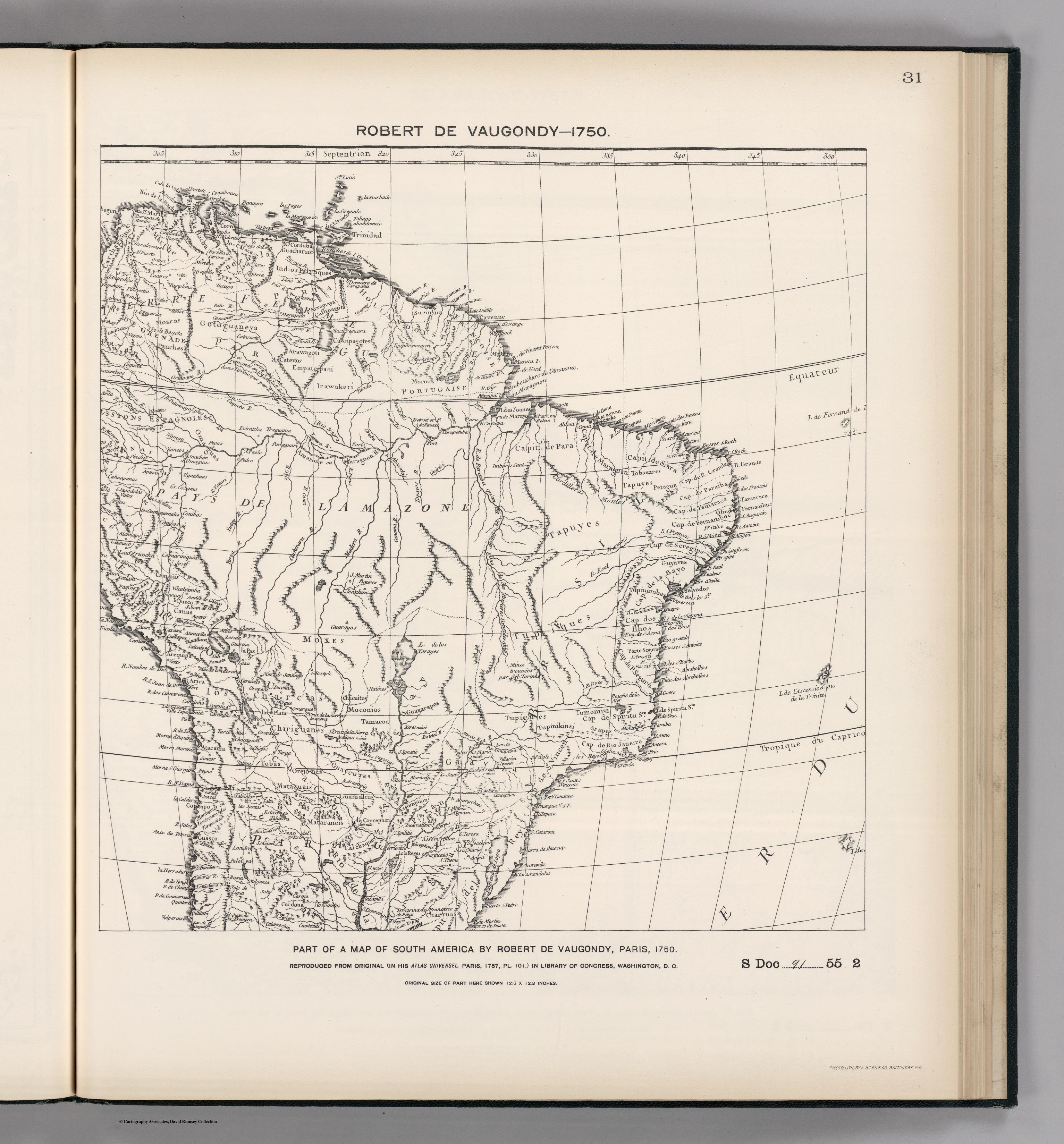
FACSIMILE: PART OF SOUTH AMERICA BY DE VAUGONDY
Mapa 1750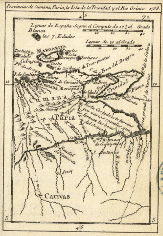
Provincias de Cumana;Paria;la Isla de la Trinidad;y el Rio Orinoco. 1758.
Mapa 1758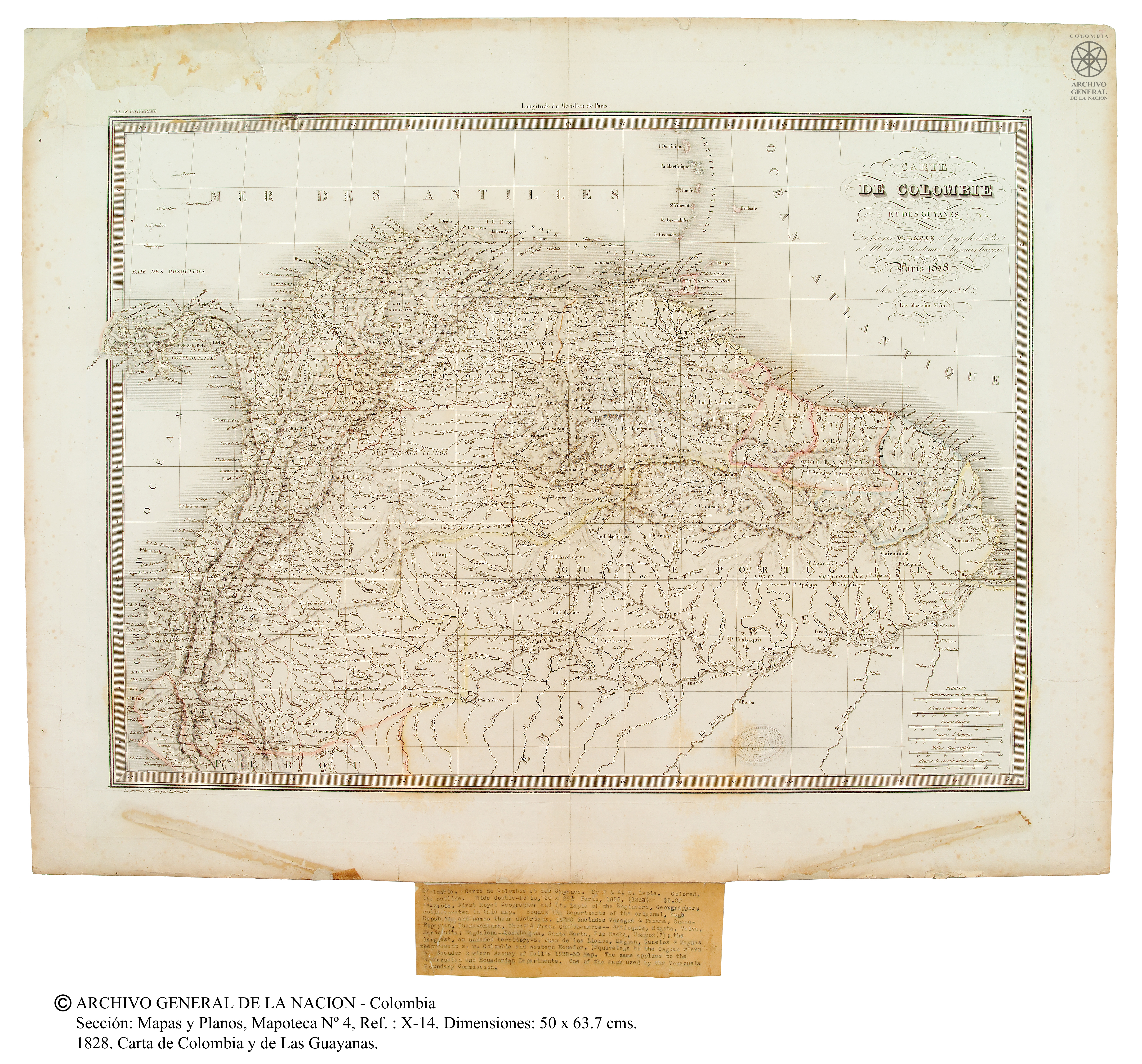
Carte de Colombie et des Guyanes
Mapa 1800 - 1899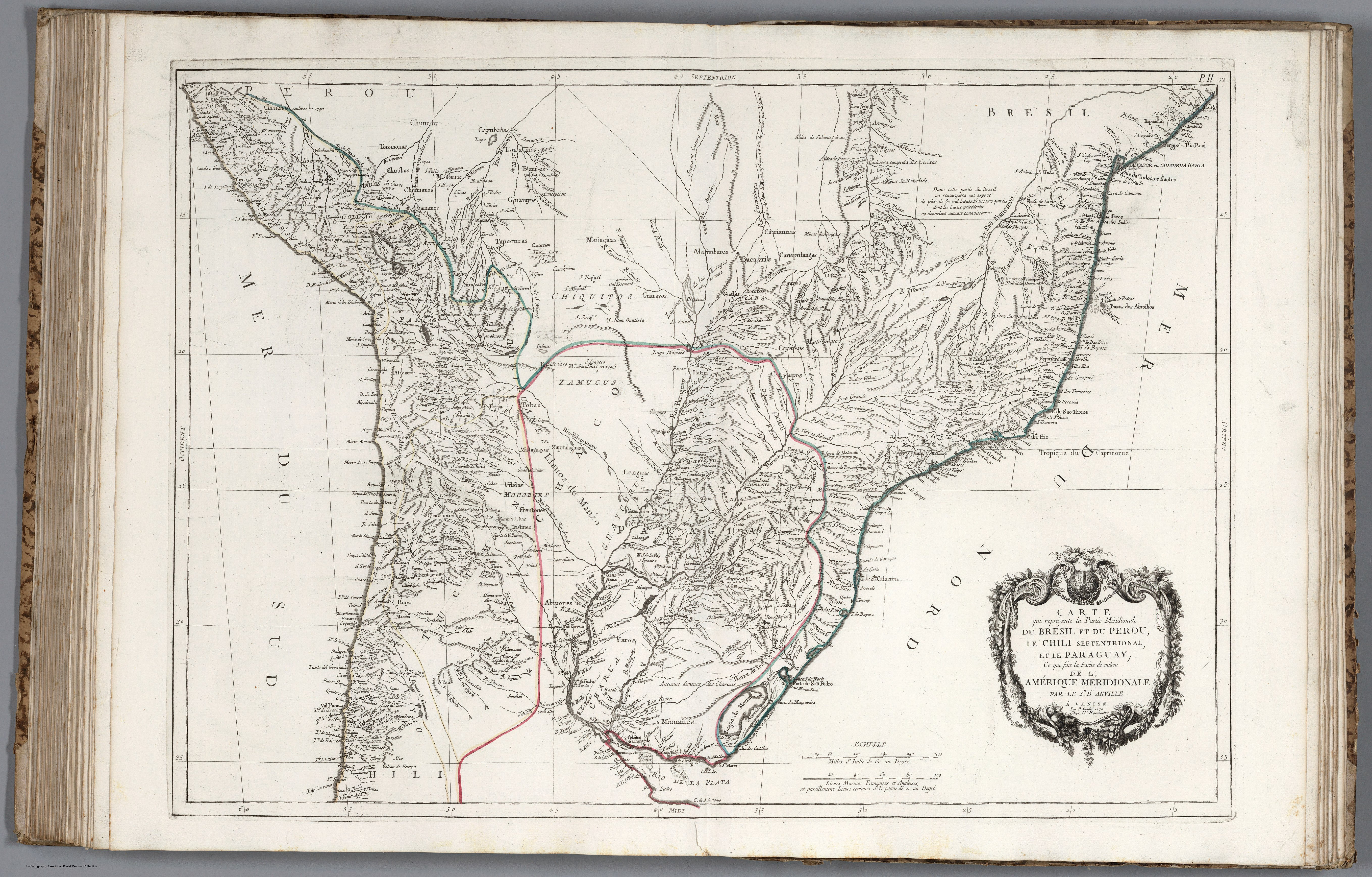
CARTE que représente la Partie Méridionale DU BRÉSIL ET DU PEROU;LE CHILI SEPTENTRIONAL;EL LE PARAGUAY;Ce qui fait la Pártie de milieu DE L’AMÉRIQUE MERIDIONALE PAR LE SR. D’ANVILLE À VENISE Par P. Santini 1779. Chez M’.Remondiri.
Mapa 1779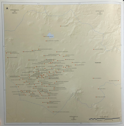
INTENDENCIA DE TLAXCALA
Mapa 1800