
Povos
- TAWAHKA
Citation
Davidson, William V. Ethnic Geography of Honduras, 2001: Tables and Maps based on the National Census. Memphis, TN, 2011. PDF. http://williamvdavidson.com/pdf/Ethnic-Geography-of-Honduras-2001-Davidson.pdf
PUEBLO ESE EJA
Mapa 2021![Dibujo de las tierras de los padres regulares espulsos y litixio con los indios, Pulares, Palogastas y Cachis. 1782-1783 [1790]](https://dnet8ble6lm7w.cloudfront.net/maps/ARG/ARG0092.jpeg)
Dibujo de las tierras de los padres regulares espulsos y litixio con los indios, Pulares, Palogastas y Cachis. 1782-1783 [1790]
Mapa 1782
A New Map of Mexico and Adjacent Provinces Compiled From Original Documents
Mapa 1810
PUEBLO ISKONAWA
Mapa 2021
Delimitación de la Gran Nación Wayuu
Mapa 2015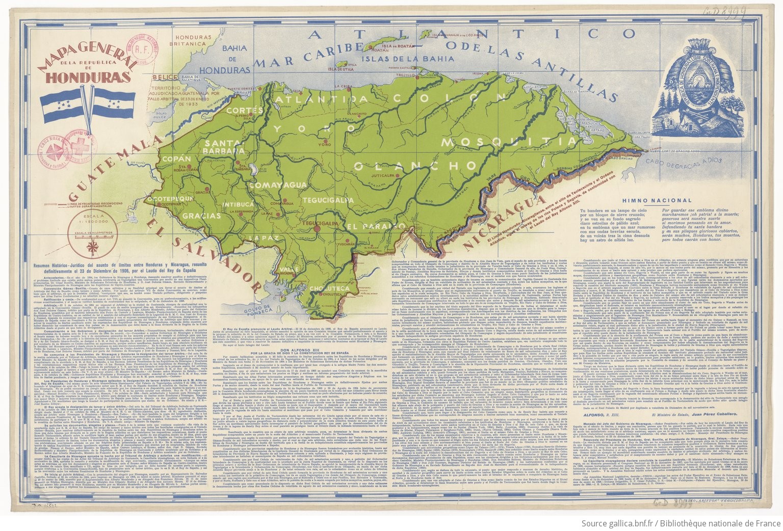
Mapa general de la Republica de Honduras
Mapa 1900 - 1999
REPRESENTACIÓN EN FORMA DE TRÍPTICO DE LAS TIERRAS DE TEPAL;CUENCA;CORRESPONDE AL EXPEDIENTE PROMOVIDO POR POSESIÓN DE TIERRAS ENTRE LOS INDÍGENAS DE SANTA ANA DE PICHACAY CONTRA MARÍA Y FRANCISCA CAZAR
Mapa 1828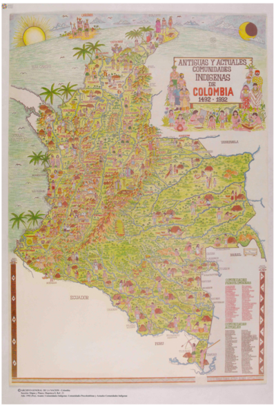
ANTIGUAS Y ACTUALES COMUNIDADES INDIGENAS
Mapa 1492 - 1992