
Povos
- PECH
Citação
Davidson, William V. Ethnic Geography of Honduras, 2001: Tables and Maps based on the National Census. Memphis, TN, 2011. PDF. http://williamvdavidson.com/pdf/Ethnic-Geography-of-Honduras-2001-Davidson.pdf
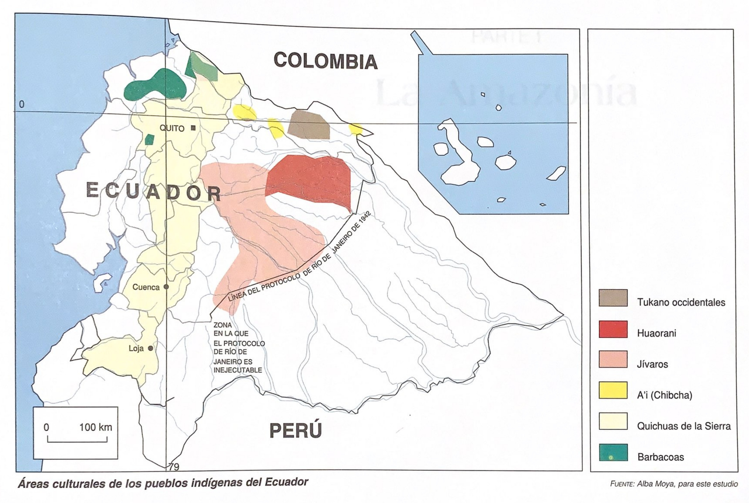
Areas culturales de los pueblos indígenas del Ecuador
Mapa 1997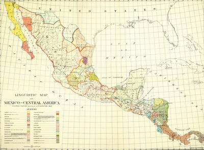
LINGUISTIC MAP OF MEXICO AND CENTRAL AMERICA
Mapa 1909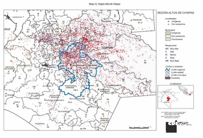
REGIÓN ALTOS DE CHIAPAS
Mapa 2000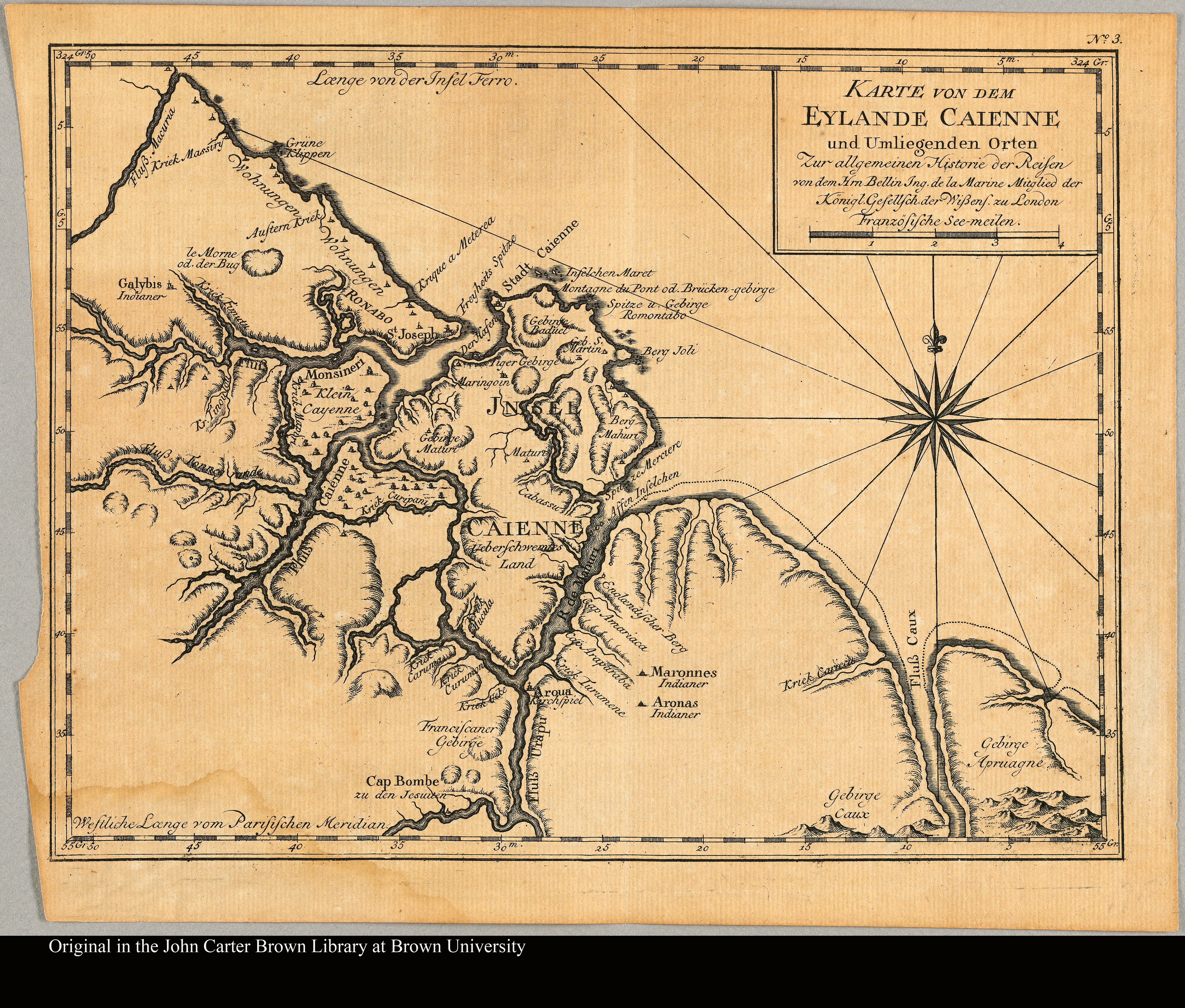
Karte von dem Eylande Caienne und Umliegenden Orten Zur allgemeinen Histoire der Reisen
Mapa 1757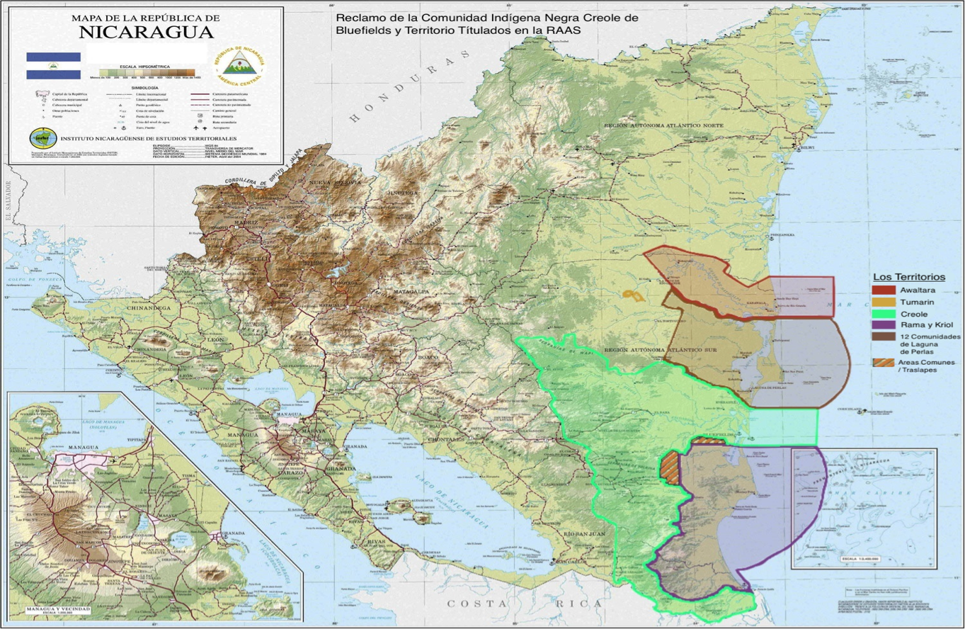
Reclamo de la Comunidad Indígena Negra Creole de Bluefields y Territorio Títulados en la RAAS.
Mapa 2000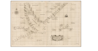
Carta particolare dell'Rio della Plata che comincia con la costa in Gradi 31 di latine Australe, è Finisce con il capo S. Andrea.
Mapa 1594 - 1596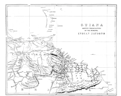
Guiana Shewing the Localities of the Principal Indian Nations
Mapa 1800 - 1899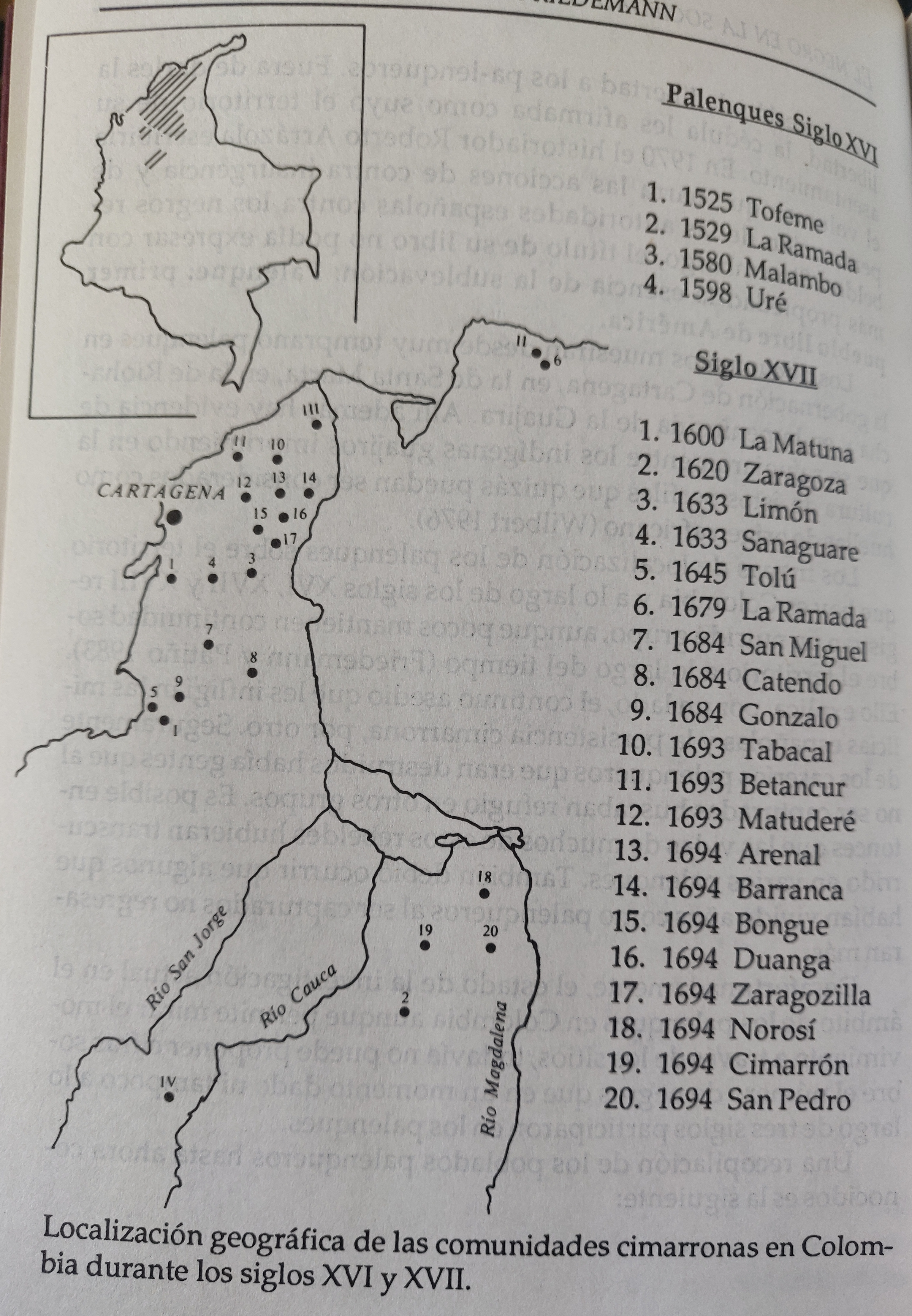
LOCALIZACION GEOGRAFICA DE LAS COMUNIDADES CIMARRONAS EN COLOMBIA DURANTE LOS SIGLOS XVI Y XVII
Mapa 1500 - 1699