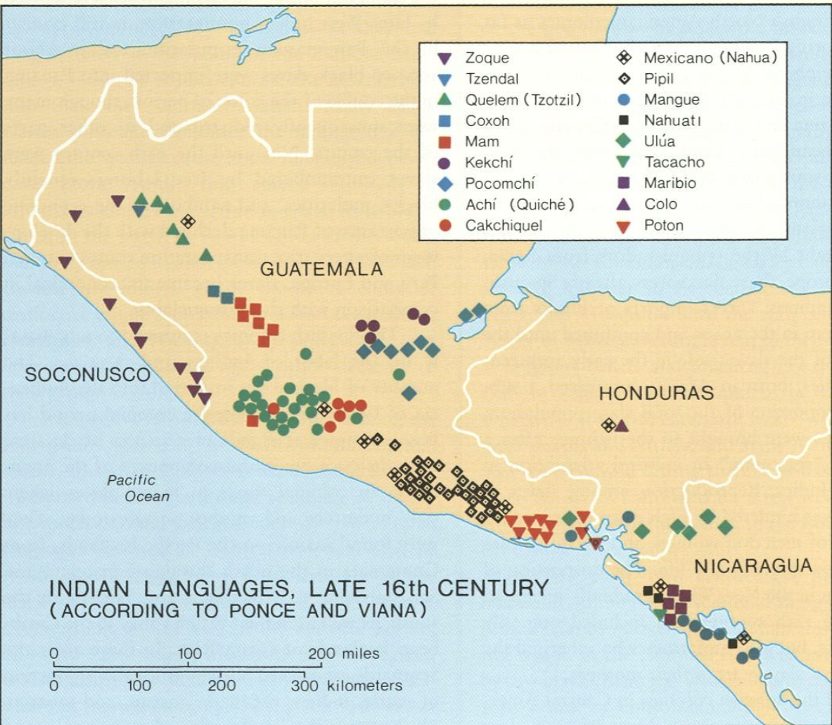
Povos
- CACKCHIQUEL
- MAM
- POCOMCHI
- QUICHE
Citação
"Indian Languages, Late 16th Century, (According to Ponce and Viana)."IN Historical Atlas of Central America by Carolyn Hall and Héctor Pérez Brignoli. PG. 81. University of Oklhoma Press, 2005.
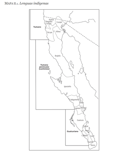
LENGUAS INDÍGENAS
Mapa 2016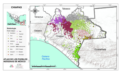
CHIAPAS
Mapa 2015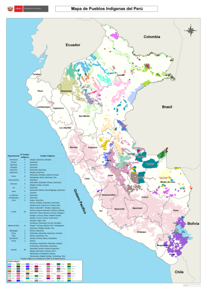
Mapa de Pueblos Indígenas del Perú
Mapa 2021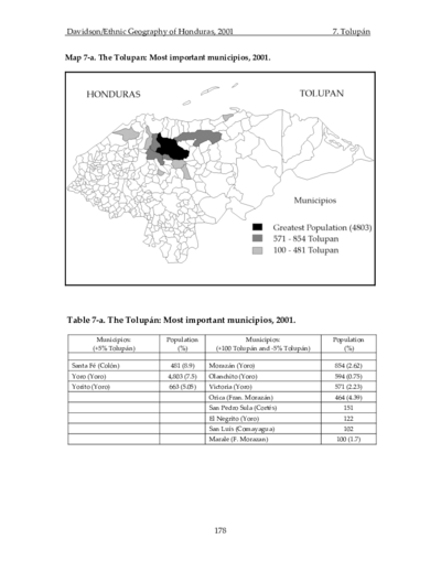
The Tolupan: Most important municipios, 2001
Mapa 2001![Seropositivo - No positivo [Soropositivo – Não positivo]](https://dnet8ble6lm7w.cloudfront.net/art_sm/ACOL031.png)
Seropositivo - No positivo [Soropositivo – Não positivo]
Obra de arte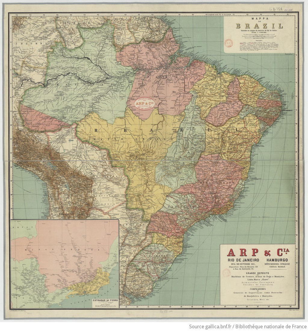
MAPPA DO BRAZIL baseado no mappa da America do Sul de Stieler
Mapa 1900 - 1999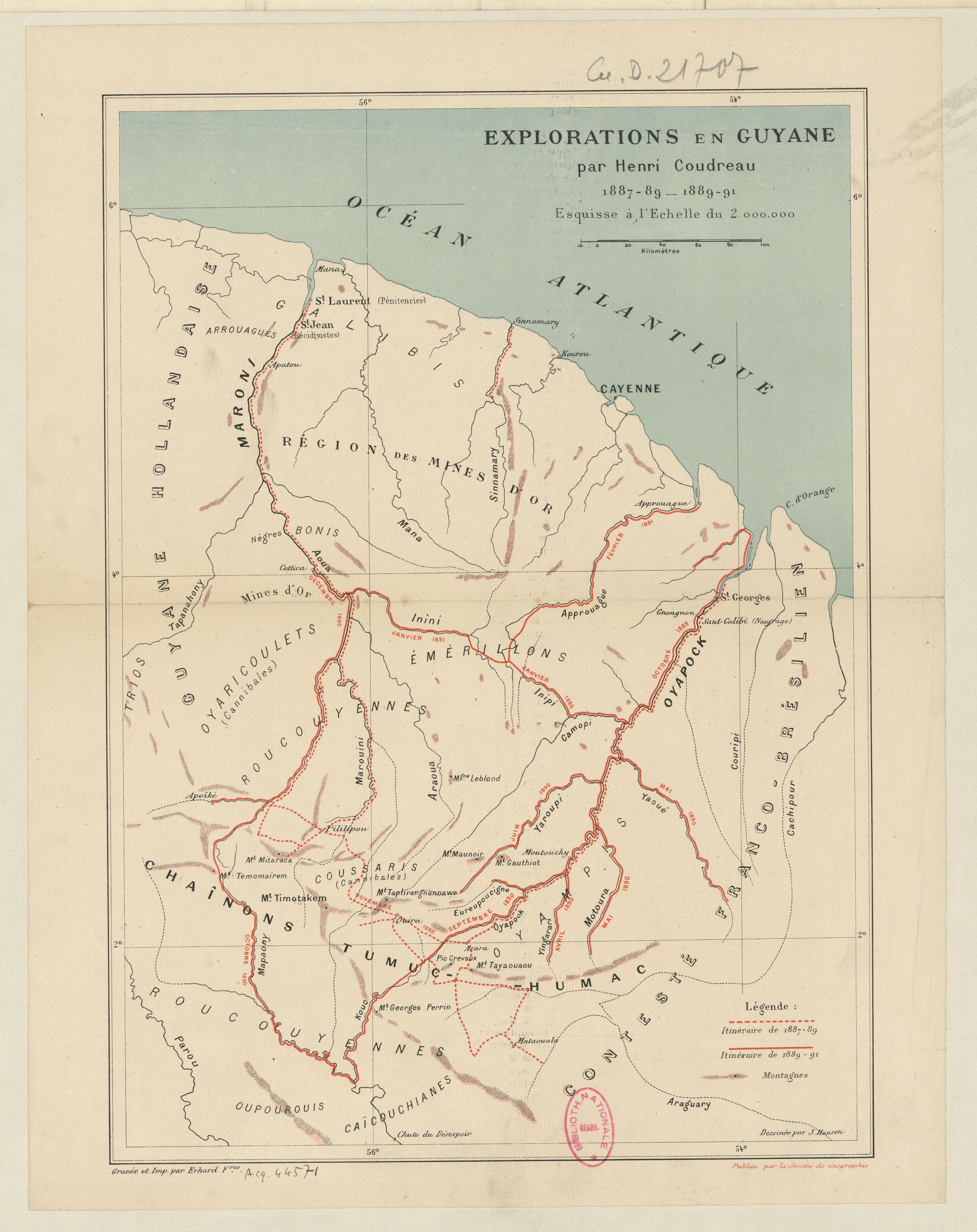
Explorations de la Guyane par Henri Coudreau, 1887-89, 1889-91.
Mapa 1887 - 1891
Outlines of the physical and political division of South America: Delineated by A. Arrowsmith partly from scarce and original documents, published before the year 1806 but principally from manuscript maps & surveys made between the years 1771 and 1806, corrected from accurate astronomical observations to 1810.
Mapa 1800 - 1899