Povos
- AROUAS
Citação
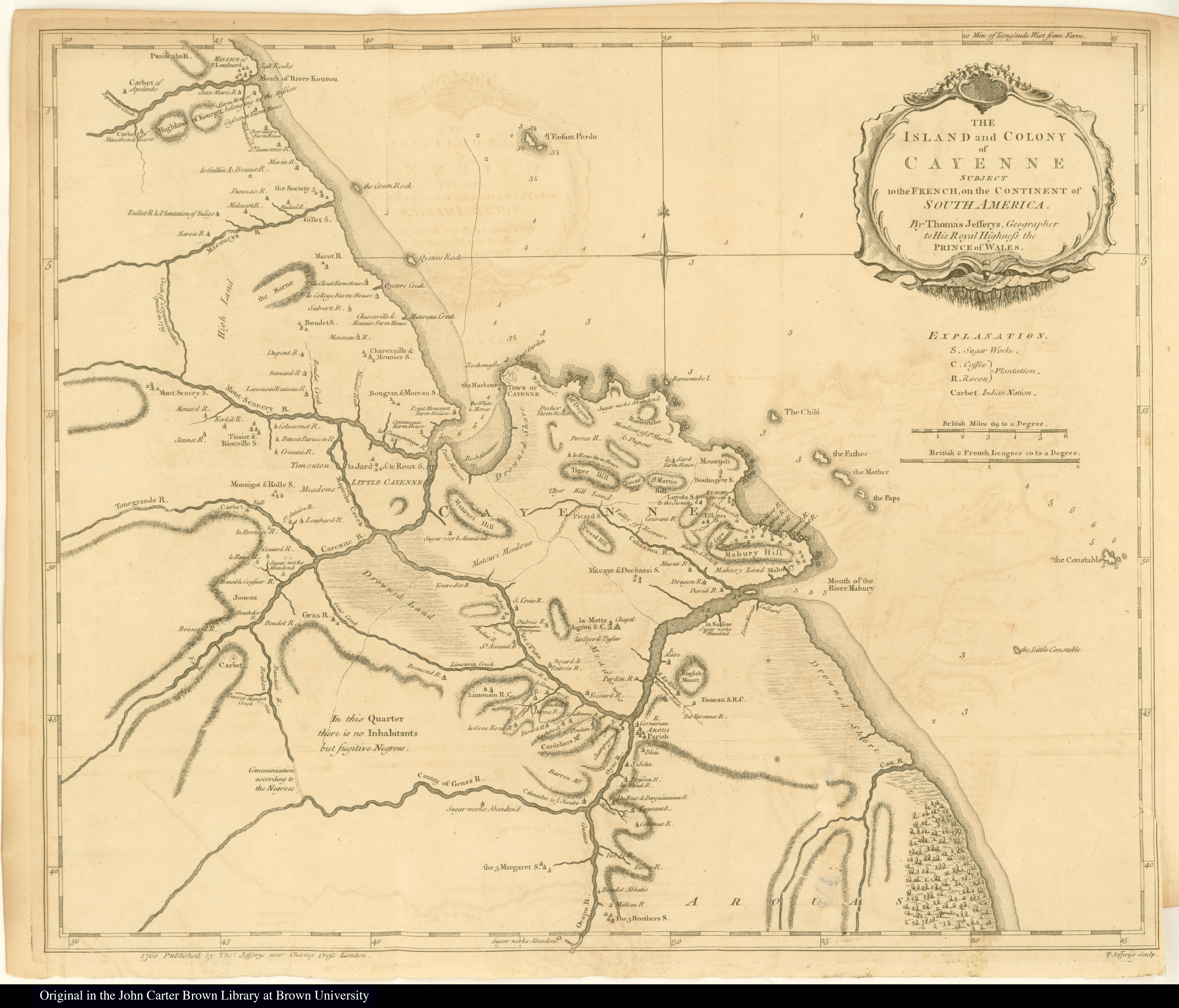
The Island and Colony of Cayenne subject to the French, on the Continent of South America. The JCB Library. Accessed, August 15, 2023. https://jcb.lunaimaging.com/luna/servlet/detail/JCBMAPS~1~1~2160~109480001
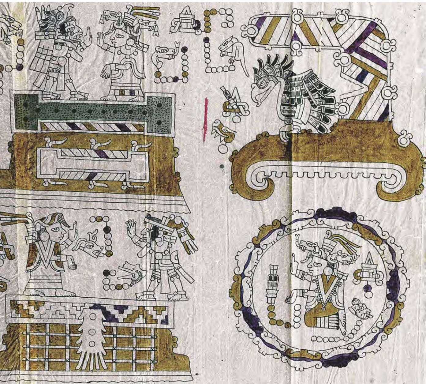
CÓDICE VINDOBONENSIS MEXICANUS 1, P.3
Mapa 1500 - 1599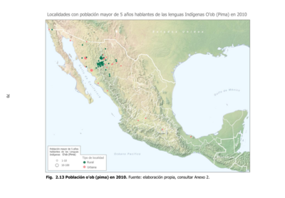
Población o'ob (pima) en 2010
Mapa 2010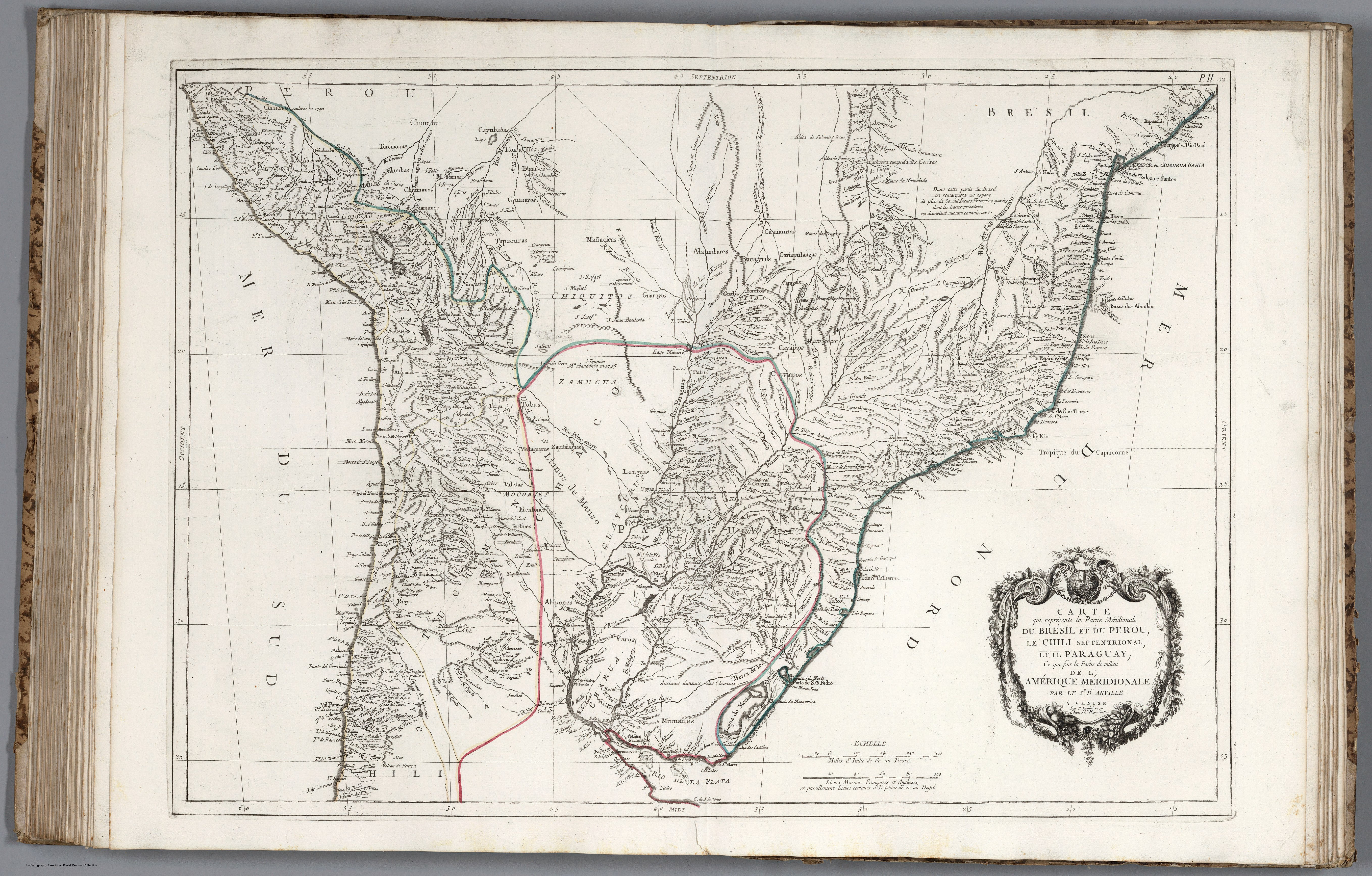
CARTE que représente la Partie Méridionale DU BRÉSIL ET DU PEROU;LE CHILI SEPTENTRIONAL;EL LE PARAGUAY;Ce qui fait la Pártie de milieu DE L’AMÉRIQUE MERIDIONALE PAR LE SR. D’ANVILLE À VENISE Par P. Santini 1779. Chez M’.Remondiri.
Mapa 1779![Perú Express [Peru expresso]](https://dnet8ble6lm7w.cloudfront.net/art/APER054.jpeg)
Perú Express [Peru expresso]
Obra de arte
Terra Indígena Tenondé Porã
Mapa 2011
Carta plano de la provincia de la Hacha situada entre las de Santa Marta y Maracaybo
Mapa 1786
Mapa Nova Cartografia Social dos Babaçuais: Mapeamento Social da Região Ecológica do Babaçu
Mapa 2014 - 2017
Carte du gouvernement de l'Isle et terre ferme de Cayenne a L'Amerique / fait au dit lieu par le Sr. H.D.M.C.
Mapa 1724