Citação
Hack, William "A description of the plantations in the valley of Paneca" Waggoner of the South Seas 1680. National Maritime Museum, Greenwich, London. P/33(21) https://www.rmg.co.uk/collections/archive/rmgc-object-541210
PUEBLO TLAPANECO
Mapa 2020![La Mártir [A Mártir]](https://dnet8ble6lm7w.cloudfront.net/art_sm/AARG024.png)
La Mártir [A Mártir]
Obra de arte
REGIÓN MONTANA DE GUERRERO
Mapa 2000
CARTA DO SUL DO IMPERIO BRASIL, comprehandendo as PROVINCIAS RIO GRANDE do SUL, STA. CATHARINA e PARANA
Mapa 1885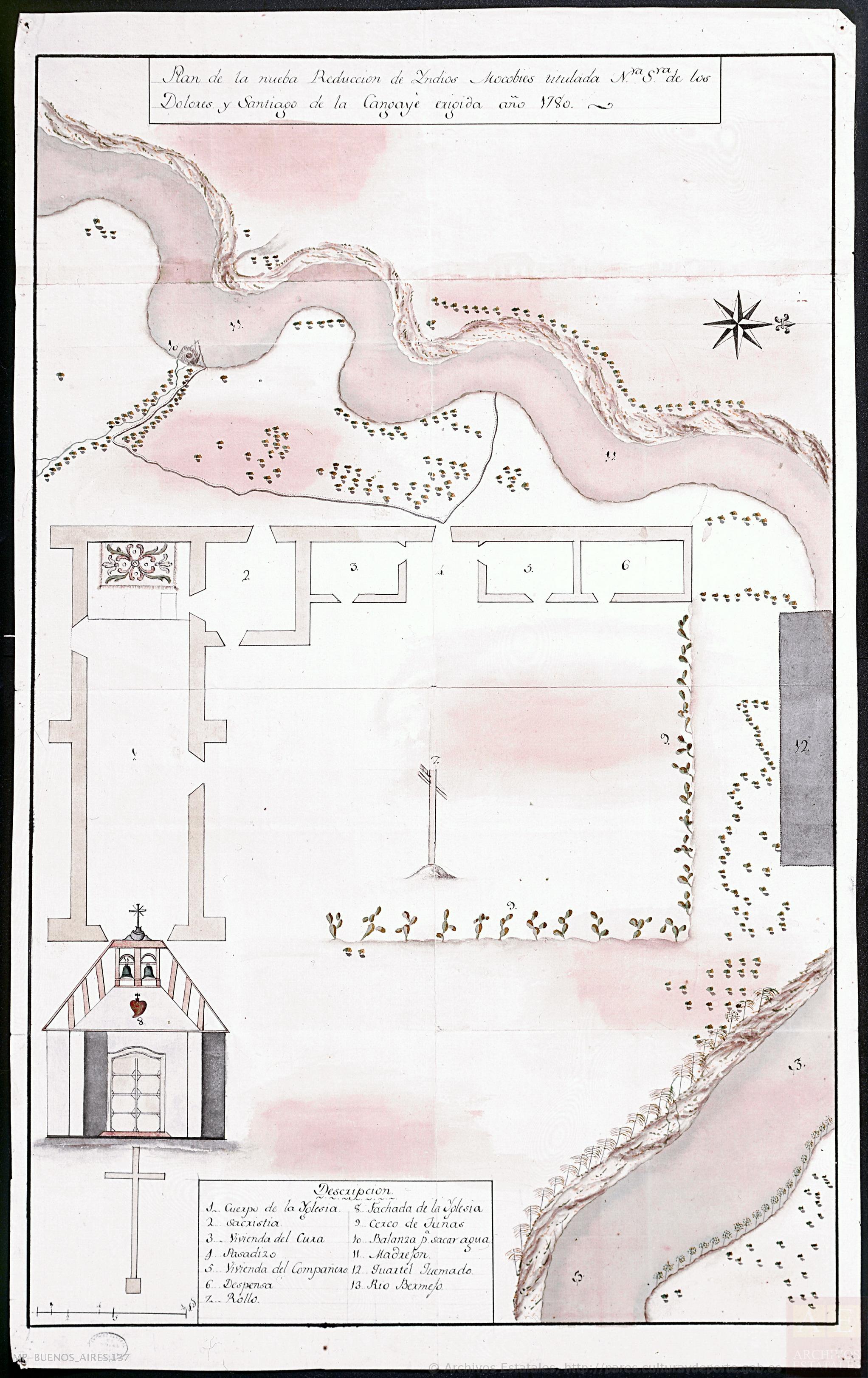
Plano de la nueba Reducción de Yndios Mocobíes,titulada Nuestra Señora de los Dolores y Santiago de la Cangayeé erigida año 178
Mapa 1780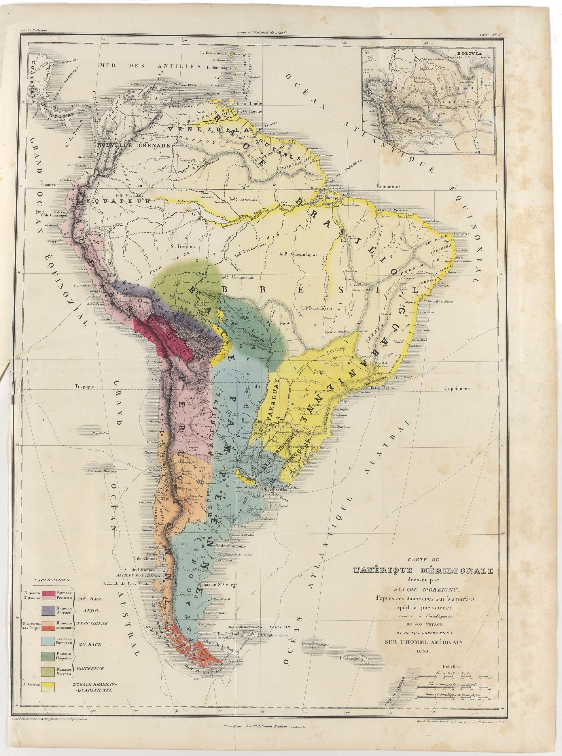
Carte de l'Amérique Méridionale dressée par Alcide d'Orbigny. d'aprés ses itinéraires sur les parties qu'il à parcourues servant à l'intelligence de son voyage et de ses observations sur l'homme américain
Mapa 1829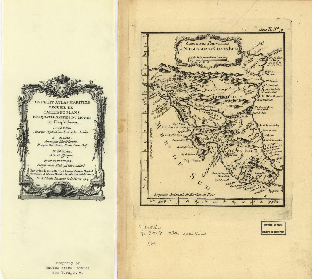
Carte des provinces de Nicaragua et Costa Rica
Mapa 1764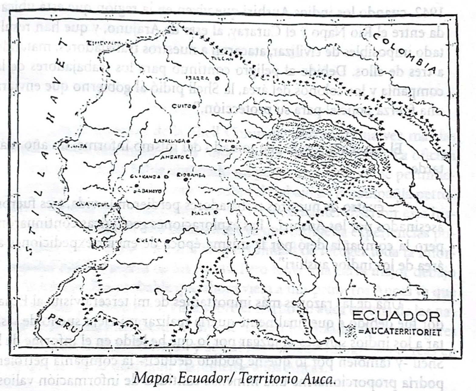
Mapa. Ecuador/Territorio Auca
Mapa 1940 - 1947