Povos
- ARAWAK
- LUCAYAN
Citation
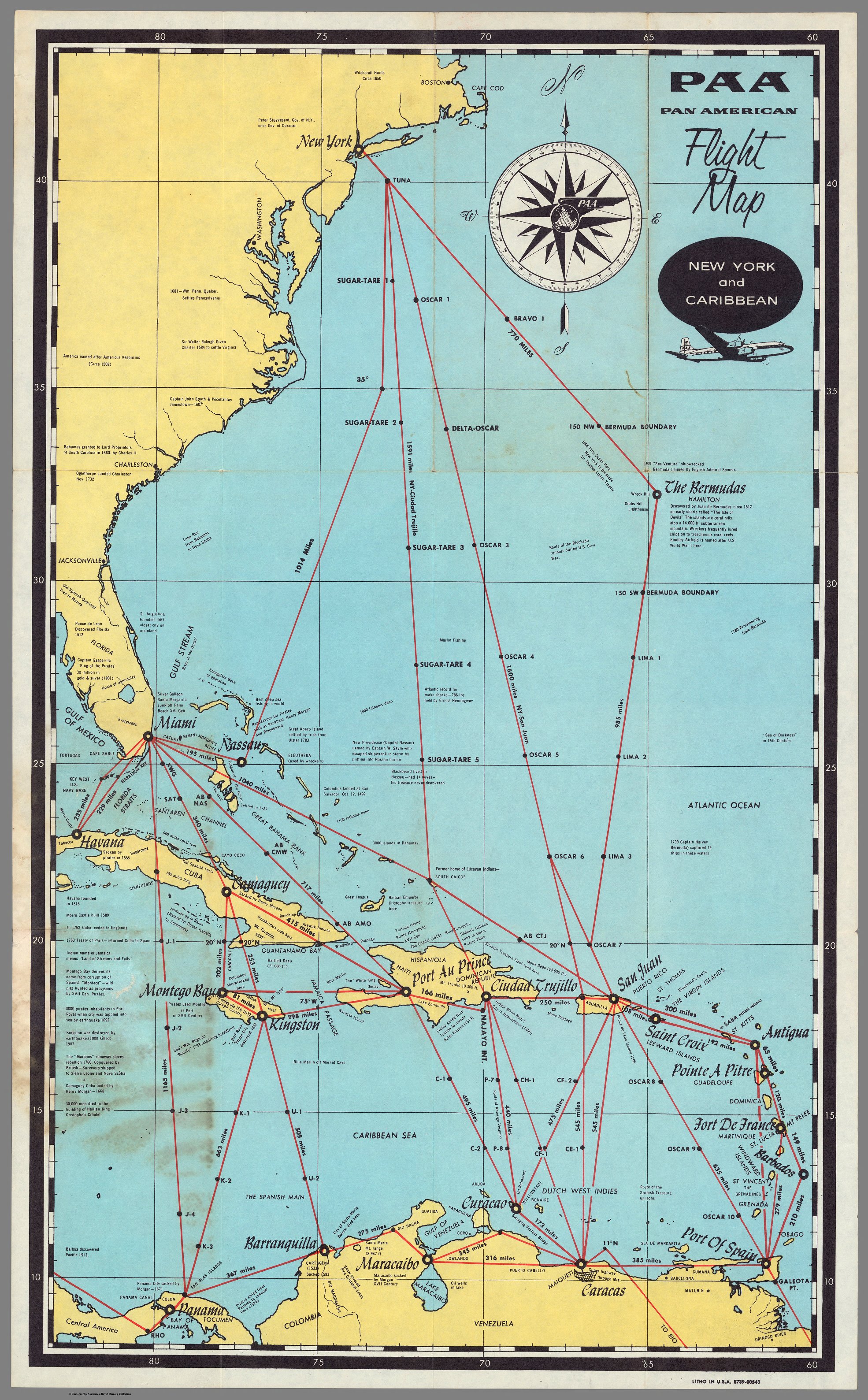
PAA. Pan American Flight Map. New York and Caribbean. David Rumsey Map Collection. Accessed, April 3, 2024. https://www.davidrumsey.com/luna/servlet/detail/RUMSEY~8~1~289778~90061599
Die LANDSCHAFT nider = Paraguaria
Mapa 1728
Traza corográfica de lo contenido dentro de los tres brazos que cerca de la Equinoccial hace la cordillera de las Sierras que se continúan desde el estrecho de Magallanes
Mapa 1570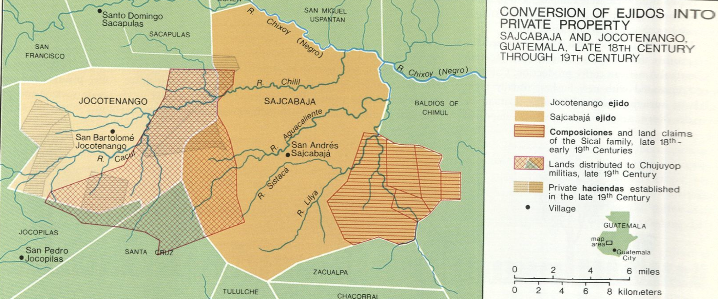
Conversion of Ejidos into Private Property, Sajcabaja and Jocotenango, Guatemala, Late 18th Century through 19th Century
Mapa 1700 - 1800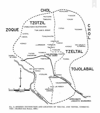
Modern Distribution and Location of Tzetzal and Tzotzil Communities
Mapa 1959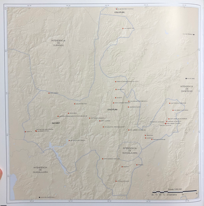
INTENDENCIA DE NAYARIT-COYOTLÁN
Mapa 1800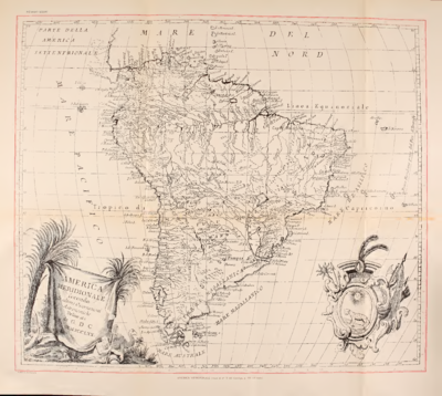
AMERICA MERIDIONIALE
Mapa 1770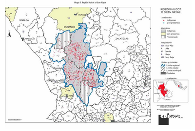
REGIÓN HUICOT O GRAN NAYAR
Mapa 2000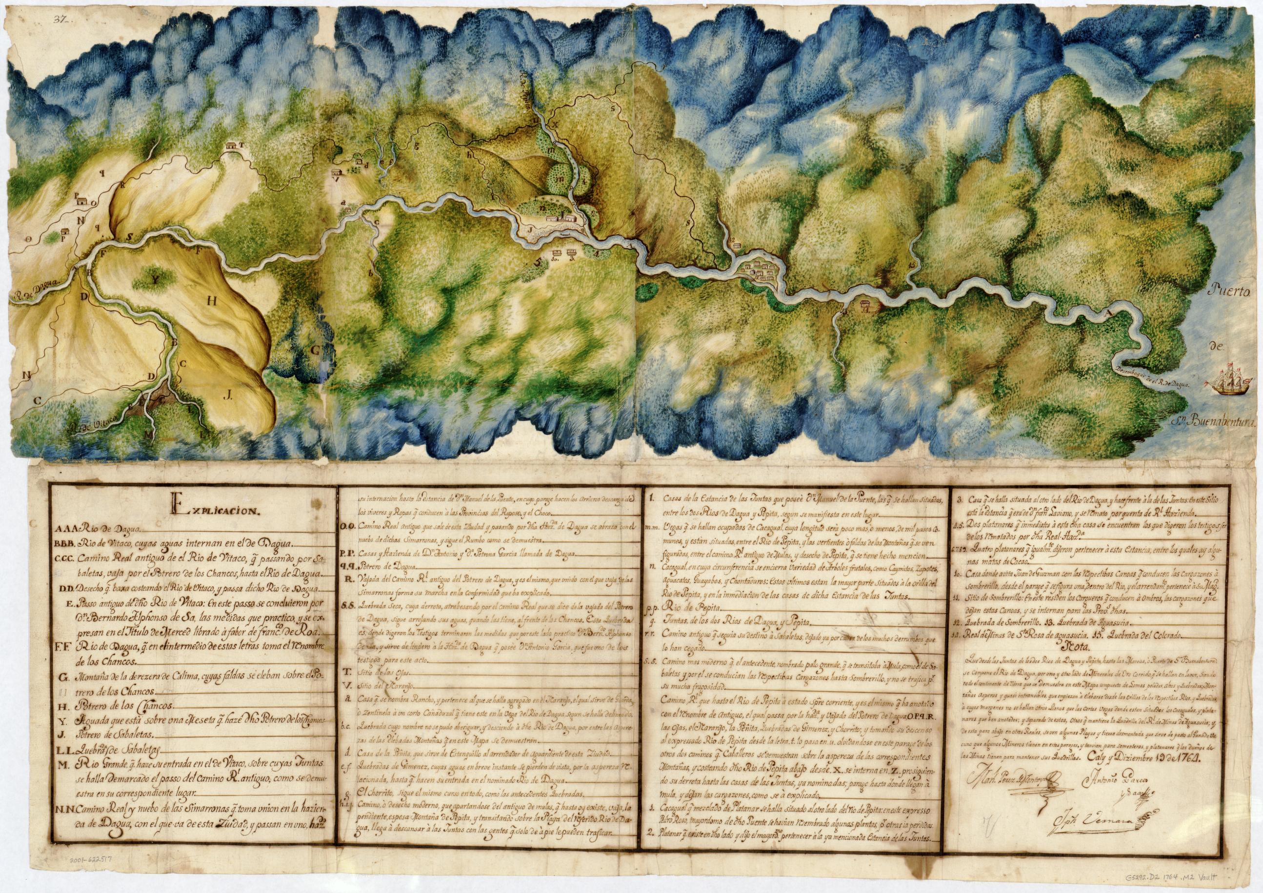
Manuscript Map of the Dagua River Region
Mapa 1764