
Citation
INSTITUTO GEOGRAFICO AGUSTIN CODAZZI, MAPA DE TIERRAS DE COMUNIDADES NEGRAS (2012) https://geoportal.igac.gov.co/sites/geoportal.igac.gov.co/files/geoportal/mapa_comunidades_negras_v1_2012.pdf
CARTA DA PROVINCIA DE S. PAULO
Mapa 1887
Movilizaciones indígenas, mapas e historias por la propiedad de la tierra en el chaco argentino. La lucha de las familias tobas por poxoŷaxaic alhua.
Mapa 2004
Grupos étnicos en la actualidad (1999)
Mapa 1999
Carte de la dépendance du Yapok jusqu'à la rivière des Amazones.
Mapa 1600 - 1699![Serie Fatherland / Padre Patria [Série Fatherland / Pai pátria]](https://dnet8ble6lm7w.cloudfront.net/art_sm/APER005.png)
Serie Fatherland / Padre Patria [Série Fatherland / Pai pátria]
Obra de arte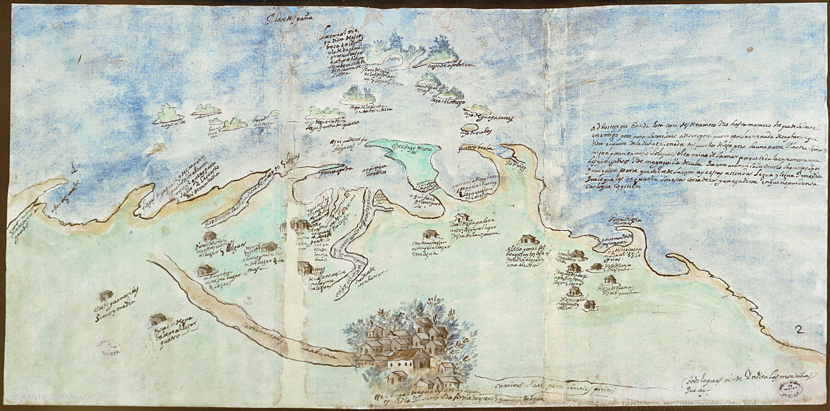
Mapa de la villa de San Juan de los Remedios de el Cayo y sus contornos
Mapa 1600 - 1699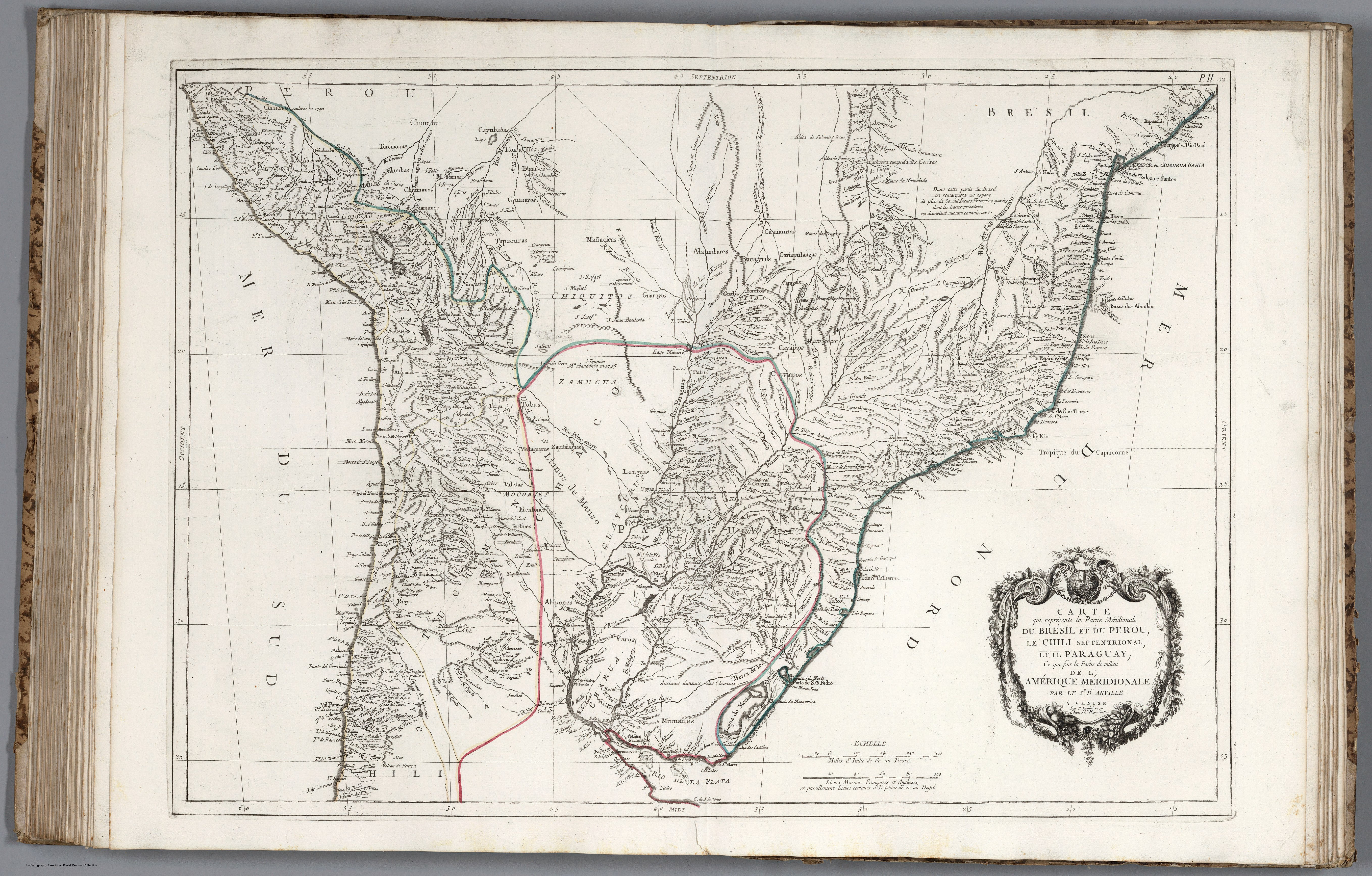
CARTE que représente la Partie Méridionale DU BRÉSIL ET DU PEROU;LE CHILI SEPTENTRIONAL;EL LE PARAGUAY;Ce qui fait la Pártie de milieu DE L’AMÉRIQUE MERIDIONALE PAR LE SR. D’ANVILLE À VENISE Par P. Santini 1779. Chez M’.Remondiri.
Mapa 1779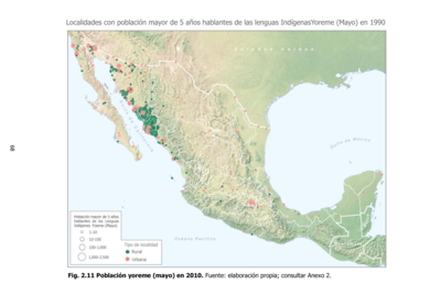
Población yoreme (mayo) en 2010
Mapa 2010