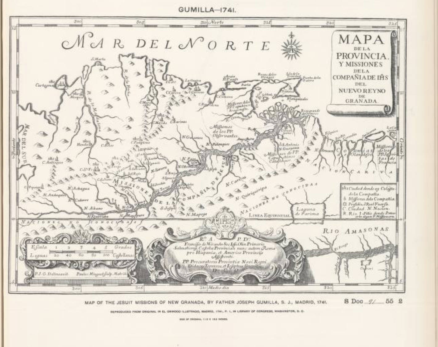
Povos
- ANDAQUIES
- BETOYA
- ACHAGUA
- CABERRE
- ABANE
- ARAWAK
- CACATIA
- QUIRRUBA
- PAYPURY
- SALIVA
- YIRARA
- CHIRICOA
- GUAJIVA
- SARURA
- MAPOYA
- OTOMACOS
- PAOS
- QUIRIPARA
- CARIVA
- PALENQUES
- GUAMOS
- GUARAUNA
- ARAUCAS
Citação
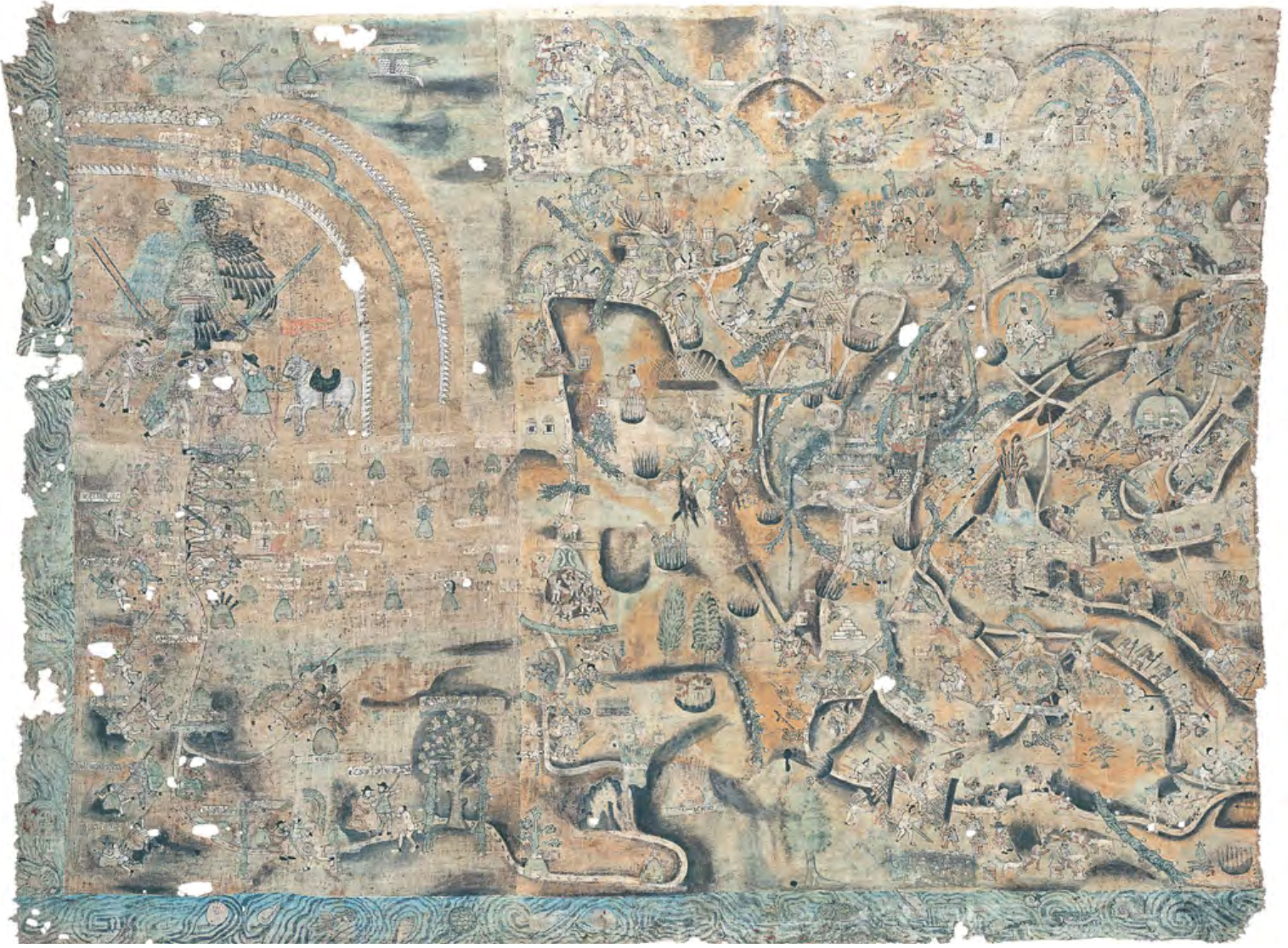
Gumilla, Joseph. Mapa de la provincia y misiones de la compania de IHS del Nuevo Reyno de Granada. Map. Madrid, Spain, 1741. https://dp.la/item/ 337e935fff2d9e53bfcf4babe6c1635c?q=gumilla+granada.
![Serie Esclavas de la fiebre de oro [Série Escravas da febre do ouro]](https://dnet8ble6lm7w.cloudfront.net/art_sm/APER063-0.png)