Povos
- EMBERA KATIO
- EMBERA CHAMI
- EMBERA DOBIDA
- EMBERA SIAPIDARA
- EPERA
- EMBERA
- COMARCA EMBERA-WOUNAAN
Citação
"Grupo aborigen Emberá." Pueblos Originarios. Accessed June 18, 2021. https://pueblosoriginarios.com/sur/caribe/embera/embera.html.
Carte particulière de l'Isle de Cayenne avec les sondes
Mapa 1600 - 1699
A chart of the English trading part of the bay of Honduras
Mapa 1791
Carte particulière de la colonie de Cayenne. Levée et présentée à Monseigneur le Comte de Pontchartrain, Ministre et secrétaire d'Etat ;Par son très humble serviteur et très obéissant serviteur De Créanton officier de la marine
Mapa 1701![Kiñe Lafken Ngelay Afpun [Um oceano sem fronteiras]](https://dnet8ble6lm7w.cloudfront.net/art_sm/AECU024.png)
Kiñe Lafken Ngelay Afpun [Um oceano sem fronteiras]
Obra de arte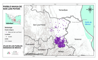
PUEBLO NAHUA DE SAN LUIS POTOSI
Mapa 2020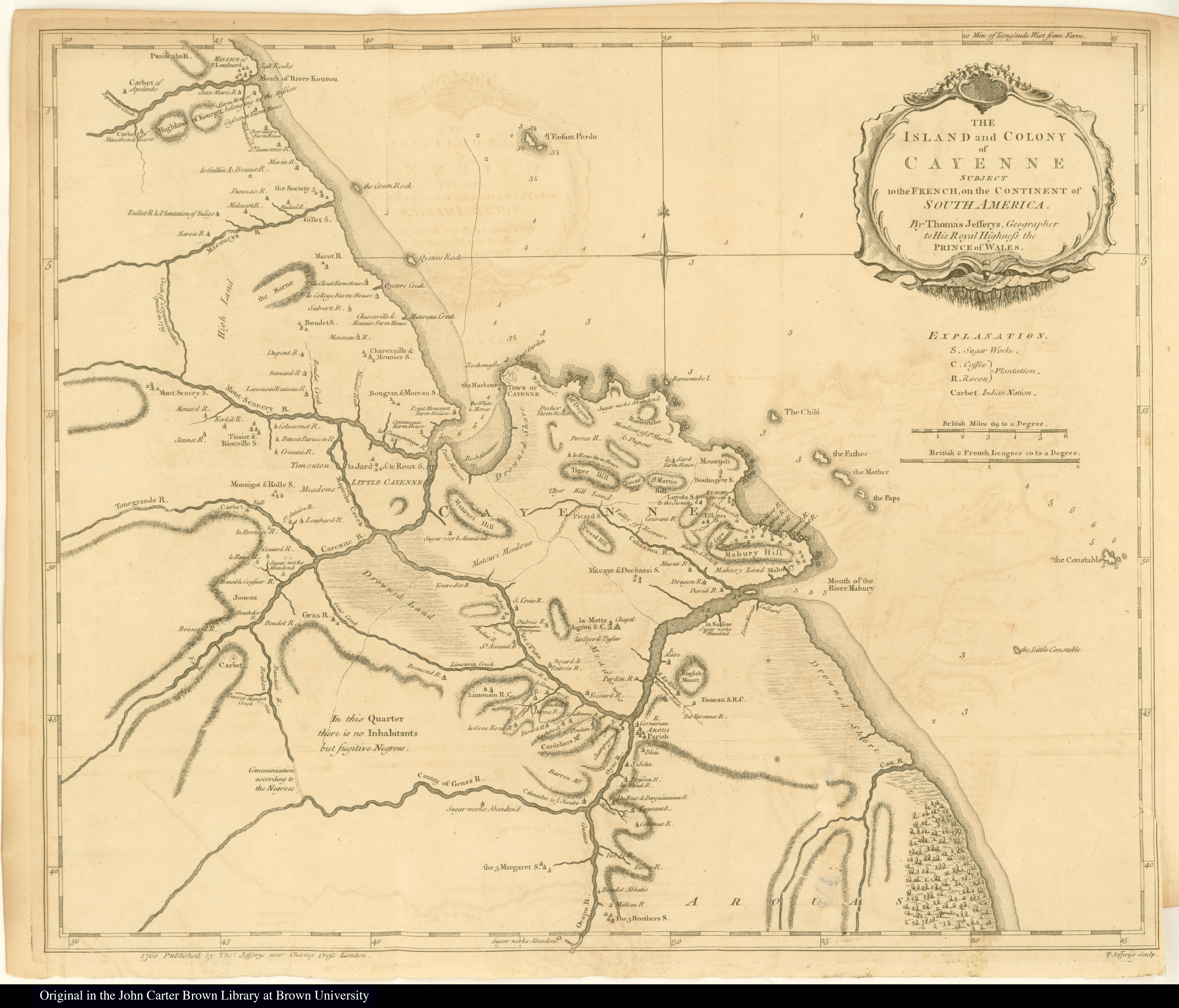
The Island and Colony of Cayenne subject to the French, on the Continent of South America.
Mapa 1760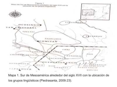
Sur de Mesamérica alrededor del siglo XVII con los grupos lingüísticos
Mapa 1800 - 1900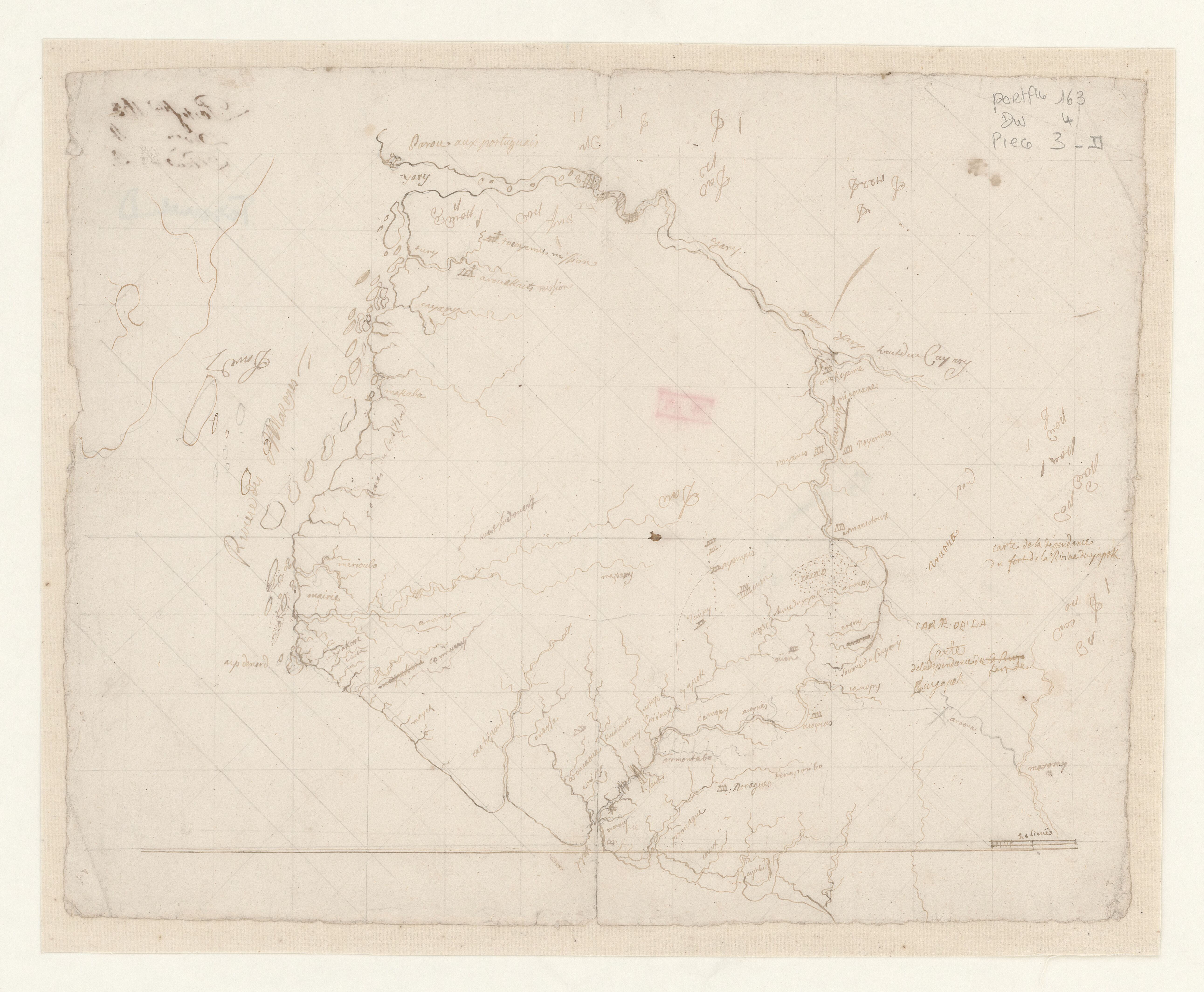
Carte de la dépendance du fort de la rivière d'Oyapok
Mapa 1600 - 1799