Povos
- MAYORUNAS
- ROAMANAS
- COCAMAS
- MANAMABOBOS
- CAMBAS
- GUAMALIES
- CHUNCHOS
- TOROMONAS
- GUARAYOS
- LOS CHARCAS CHIQUITOS
- PAYGUAS
Citation
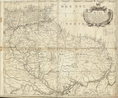
De Larochette. South America from the latest discoveries, shewing the Spanish & Portuguese settlements. Map. London, UK, 1771. Accessed August 1, 2023. https://jcb.lunaimaging.com/luna/servlet/detail/JCBMAPS~1~1~3382~101633:South-America-from-the-latest-disco?sort=normalized_date%2Cfile_name%2Csource_author%2Csource_title.
![Jardín de aclimatación de blancos [Jardim de aclimatação de brancos]](https://dnet8ble6lm7w.cloudfront.net/art_sm/ACHI018.png)