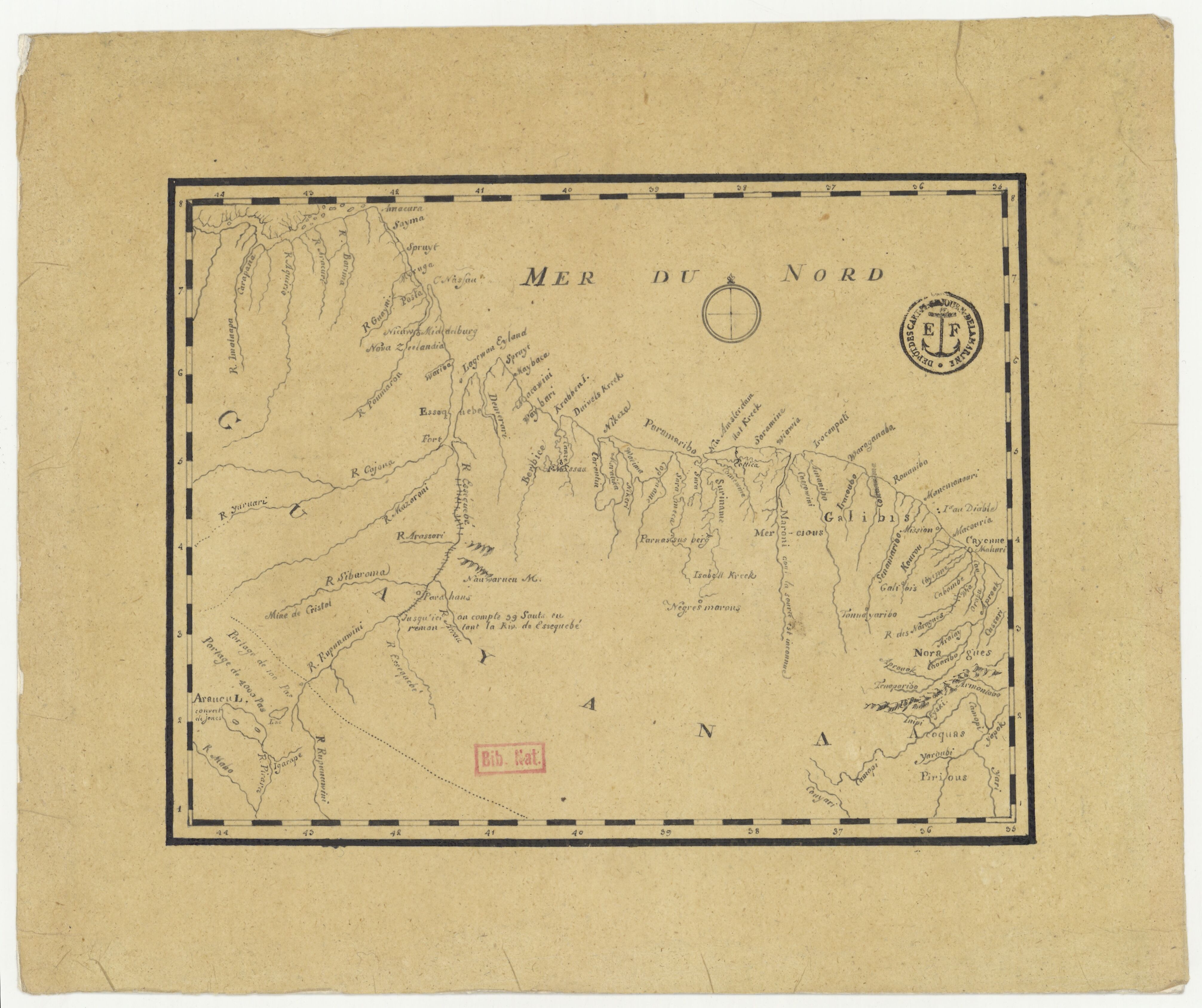
Povos
- ACOQUAS
- GALIBIS
- MERCIOUS
- NARAGUES
- PIRIOUS
Citation
[Côtes de la Guyane]. Gallica. Last modified: July 25, 2016. Accessed, July 25, 2023. https://gallica.bnf.fr/ark:/12148/btv1b53122006g

CARTA GEOGRÁFICA DEL ECUADOR POR DR. TEODORO WOLF;PUBLICADA POR ORDEN DEL SUPREMO GOBIERNO DE LA REPÚBLICA Y TRABAJADA BAJO LAS PRESIDENCIAS DE LOS EE. SEÑORES DR. D.J.M. PLÁCIDO CAAMAÑO Y DR. D. ANTONIO FLORES. 1892 ... INSTITUTO GEOGRAFICO DE H. WAGNER & E. DEBES EN LEIPZIG. (WITH) LA REGION ORIENTAL DEL ECUADOR. (WITH) ARCHIPIÉLAGO DE GALÁPAGOS.
Mapa 1892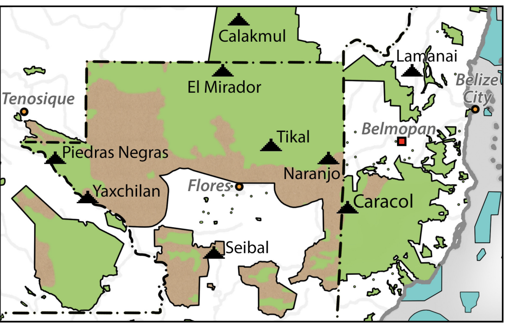
Map of deforestation within protected areas in Guatemala and adjoining areas
Mapa 2000 - 2100
Carta geographica de las provincias de la governacion del rio de la plata y confinantes.
Mapa 1863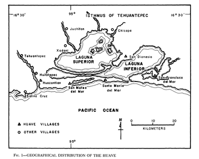
Geographical Distribution of the Huave
Mapa 1969![El sonido del río animado: peque peque [O som do rio animado: peque peque]](https://dnet8ble6lm7w.cloudfront.net/art_sm/APER065.png)
El sonido del río animado: peque peque [O som do rio animado: peque peque]
Obra de arte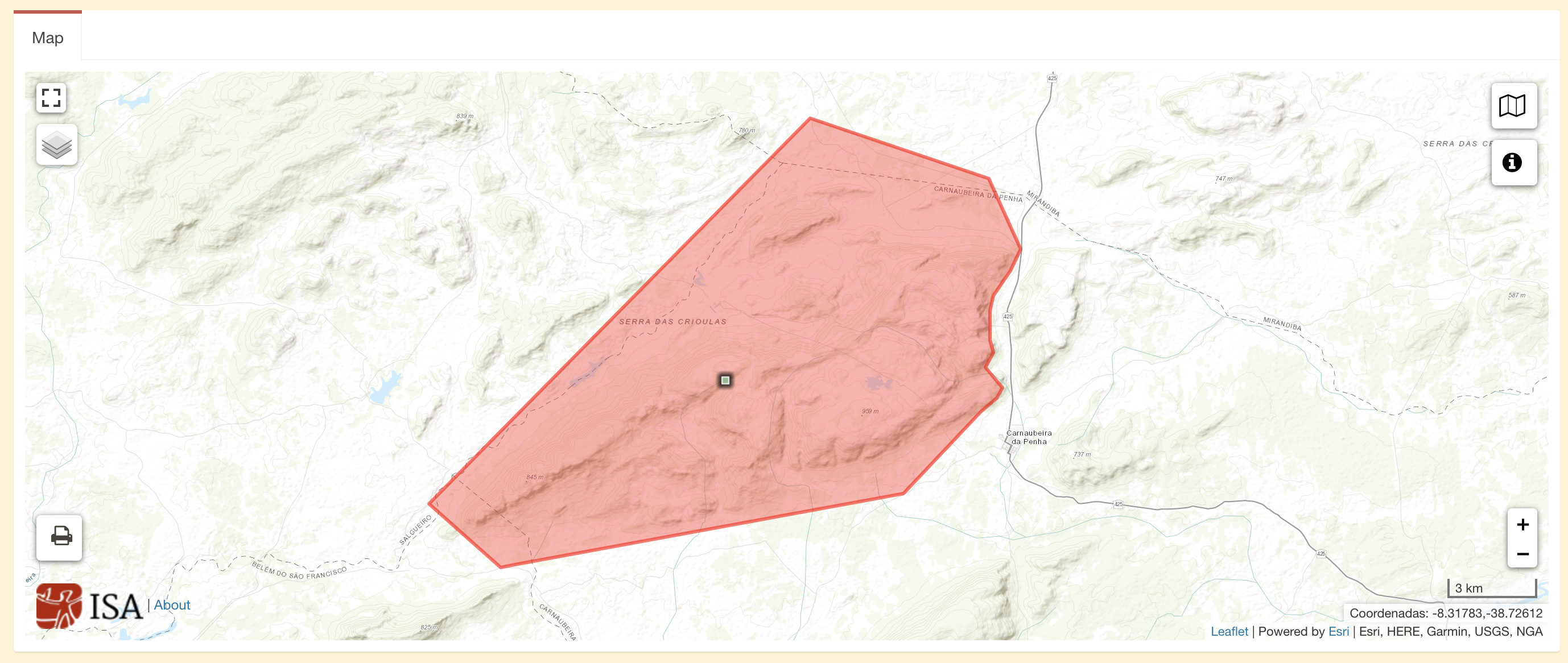
Terra Indígena Atikum
Mapa 1996 - 2021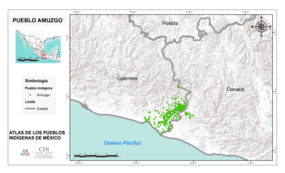
PUEBLO AMUZGO
Mapa 2020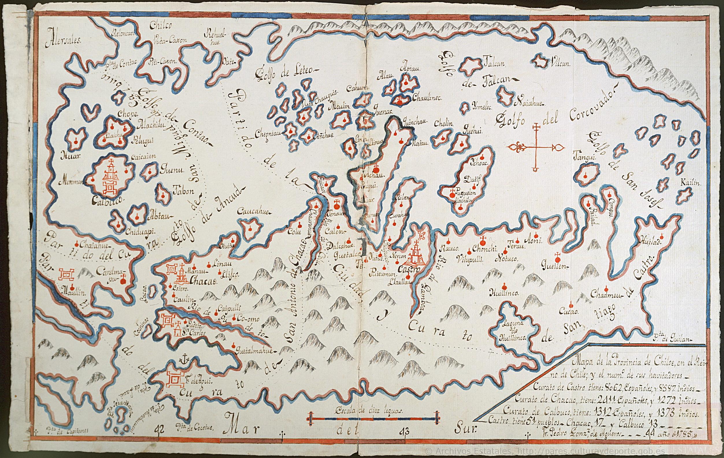
Mapa de la Provincia de Chiloé en el Reino de Chile y el número de sus habitantes
Mapa 1785