Povos
- PEHUENCHES
- TAPICURAS
- MOROROCOS
- YACANA CUNI
Citação
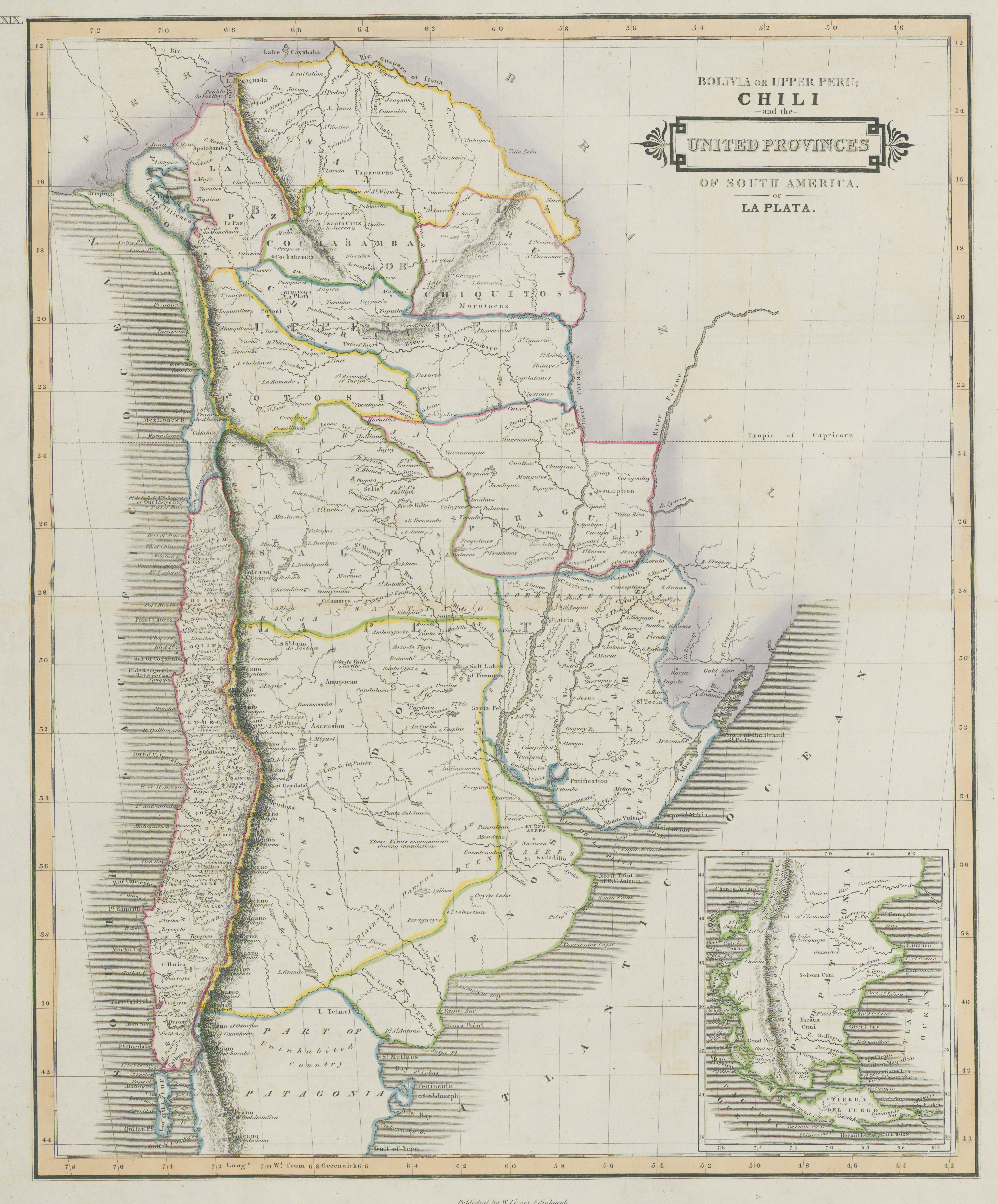
Lizars, William. Bolivia Or Upper Peru, Chili and the United Provinces Of South America, or La Plata. Map. Edimburgh, Scotland: W. Lizars, 1836. Accessed July 9, 2023. https://digital.iai.spk-berlin.de/viewer/image/630121303/1/LOG_0000/.