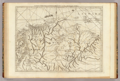
Povos
- ACOQUAS
- ACURIAS
- ARAMICHAUX
- ARUACAS
- CARIGUANOS
- GALIBIS
- GUARANAYAS
- KYRYKYRYSCOTAS
- MACUSIS
- MERILONS
- OUAYES
- OYANPIQUES
- PARABYANASS
- PIRIUS
- RECUYENES
- TUBAYES
Citation
Weiland, Carl Ferdinand, Hassel, Georg, Guyana. David Rumsey Map Collection. Accessed: July 4, 2023. https://www.davidrumsey.com/luna/servlet/detail/RUMSEY~8~1~297504~90069127:Guyana-
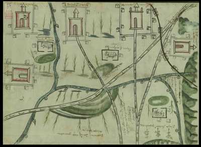
![Numero 6⁰. Plano que de muestra la porcion de costades de la Punta de Marabiq[u]e [sic] por la parte del oeste, has[t]as la detirbes por el leste, puertos, cauos yslas &c](https://dnet8ble6lm7w.cloudfront.net/maps/HON/HON0020.jpg)