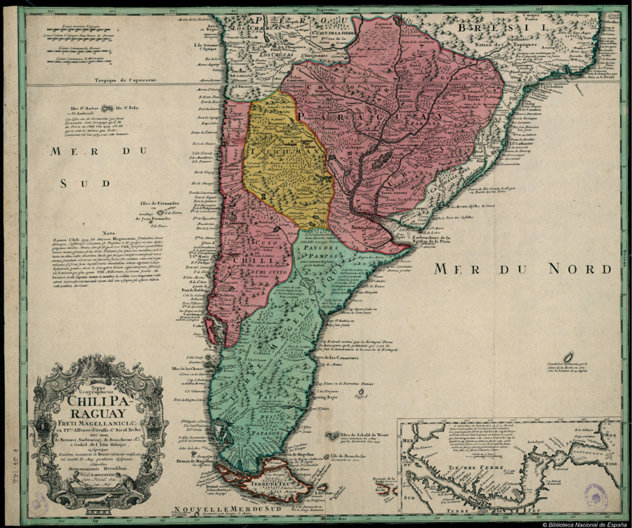
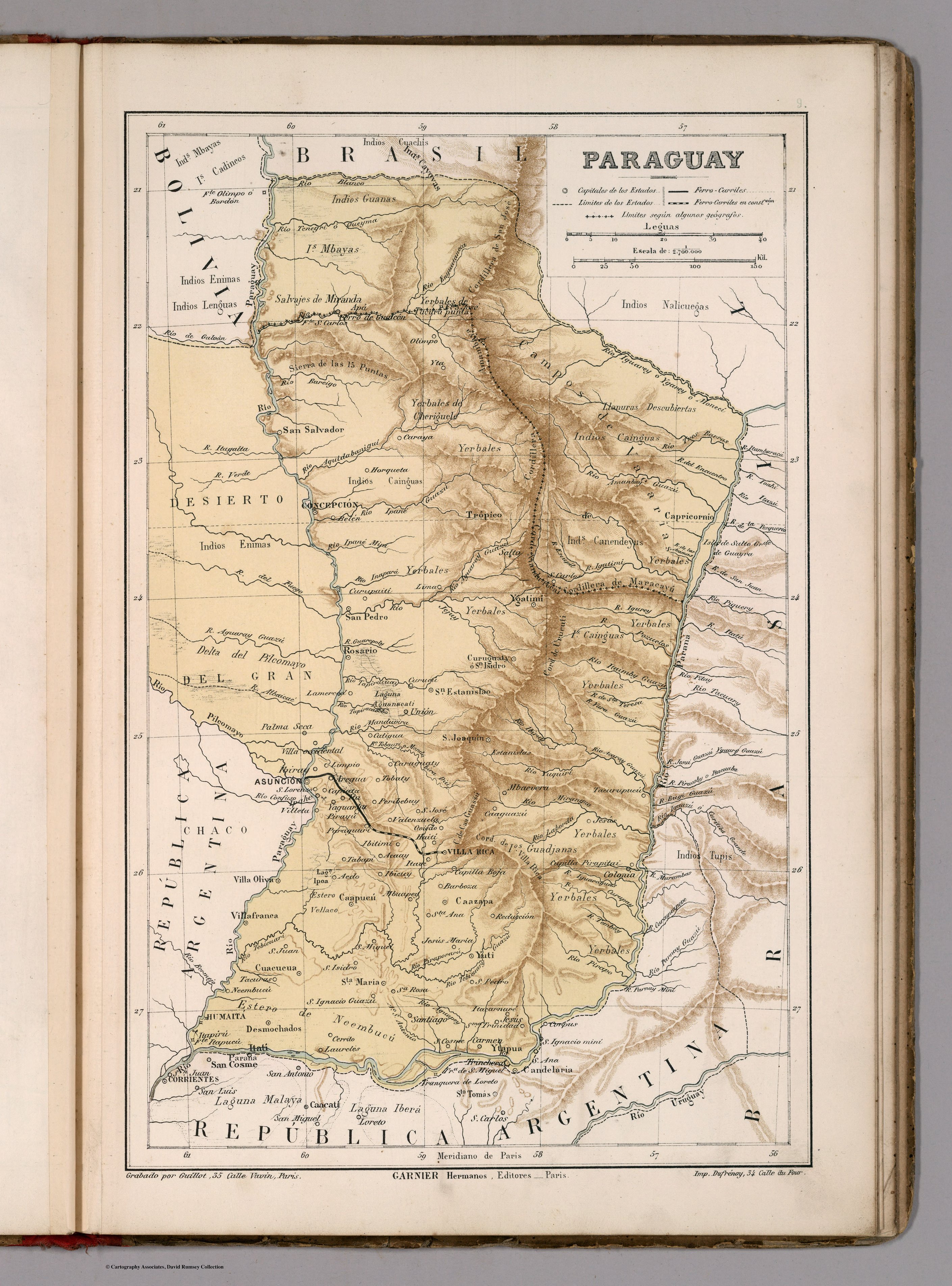
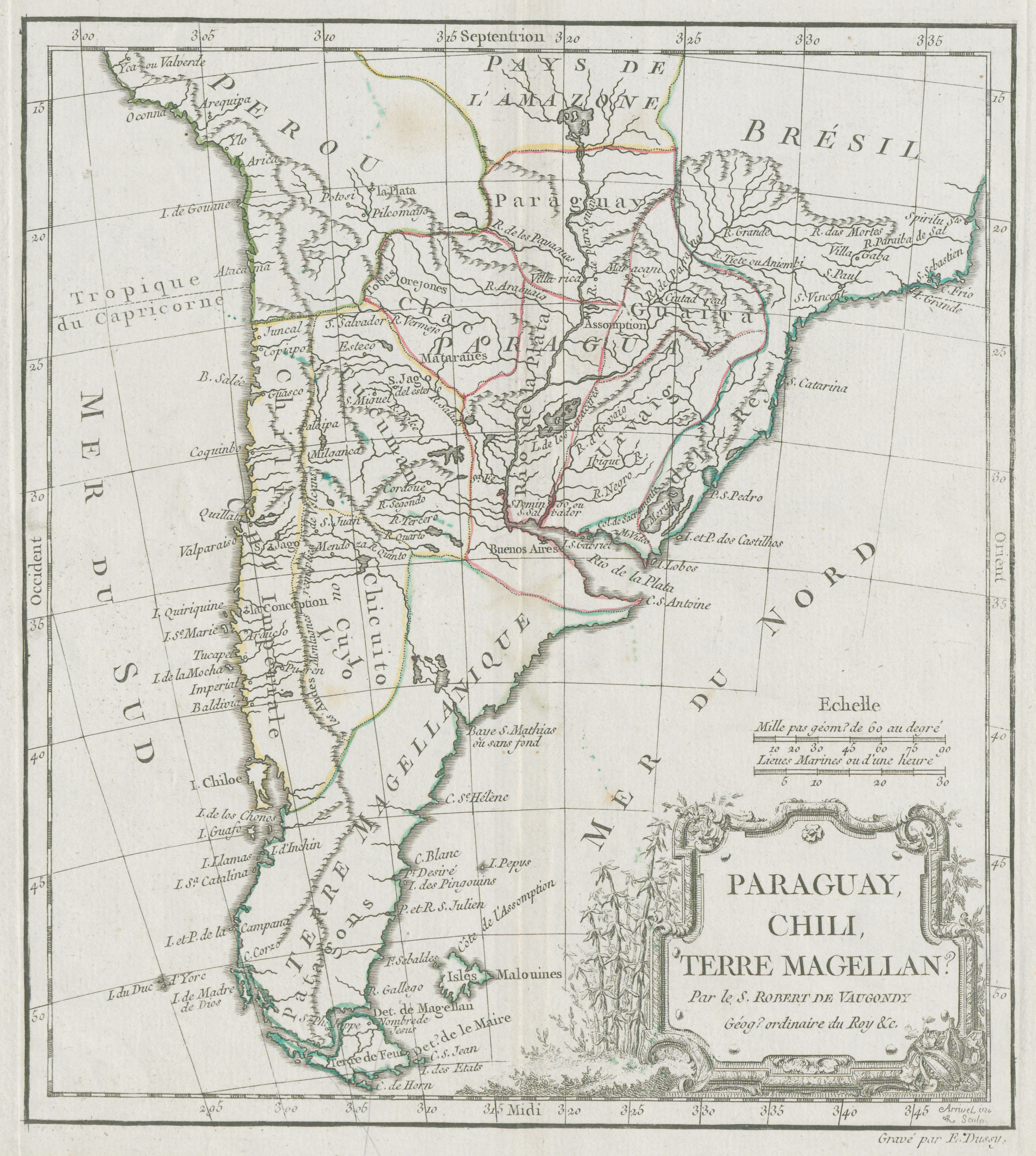
Povos
- ARARAPES
- CARAJES
- PORIES
- TUPINAQUES
- PIRATININGA
- TUPIQUES
- TUPINIMBES
- ITATIN
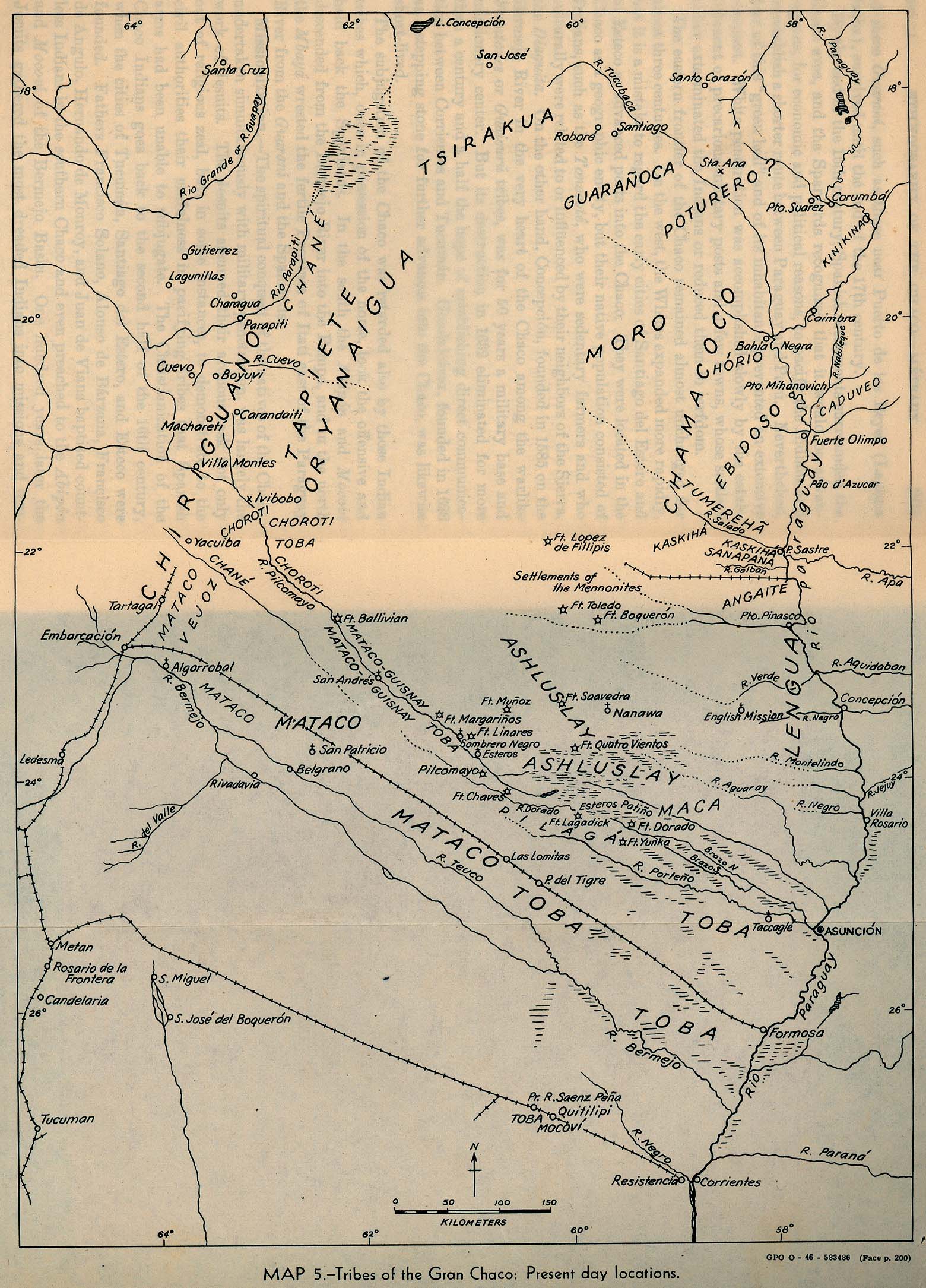
- GUAXARAPOS
- GUAYCURES
- CHIRIGUANAS
- CHURUMATES
- TOBAS
- GUARCORAS
- GIAGUITAS
- ANDALGALES
- TONOCOTANOS
- GUISPARAS
- OCLOIAS
- OREJONES
- IAPITALAGUA
- MATAGUAS
- PALOMOS
- MOCOBIS
- GUAPACHOS
- MATARANES
- FRONTONES
- CALCHAQUES
- GUAMALCAS
- ABIPONES
- PAYAGUAS
- PEUPLES
- CHIQUIS
- TAIOBA
- GUALACHOS
- GUANINAS
- CAAIGUAS
- IBITURUNA
- CAPIS
- CIREZ
- CAAROAS
- CASAPAMIMENS
- IBIAES
- TAPE
- CHARRUAS
- YAROS
- CHONOS
- HUILLES
Citação
Delisle, Guillaume. Typus Geographicus Chili, Paraguay. Map. Nuremberg: Editoribus Homannianis Heredibus, 1733. Accessed May 7, 2023. http://bdh.bne.es/bnesearch/detalle/bdh0000018304.
![[Carte de la Guyane depuis le Marony jusqu'au Yary]](https://dnet8ble6lm7w.cloudfront.net/maps/FGU/FGU0046.jpeg)