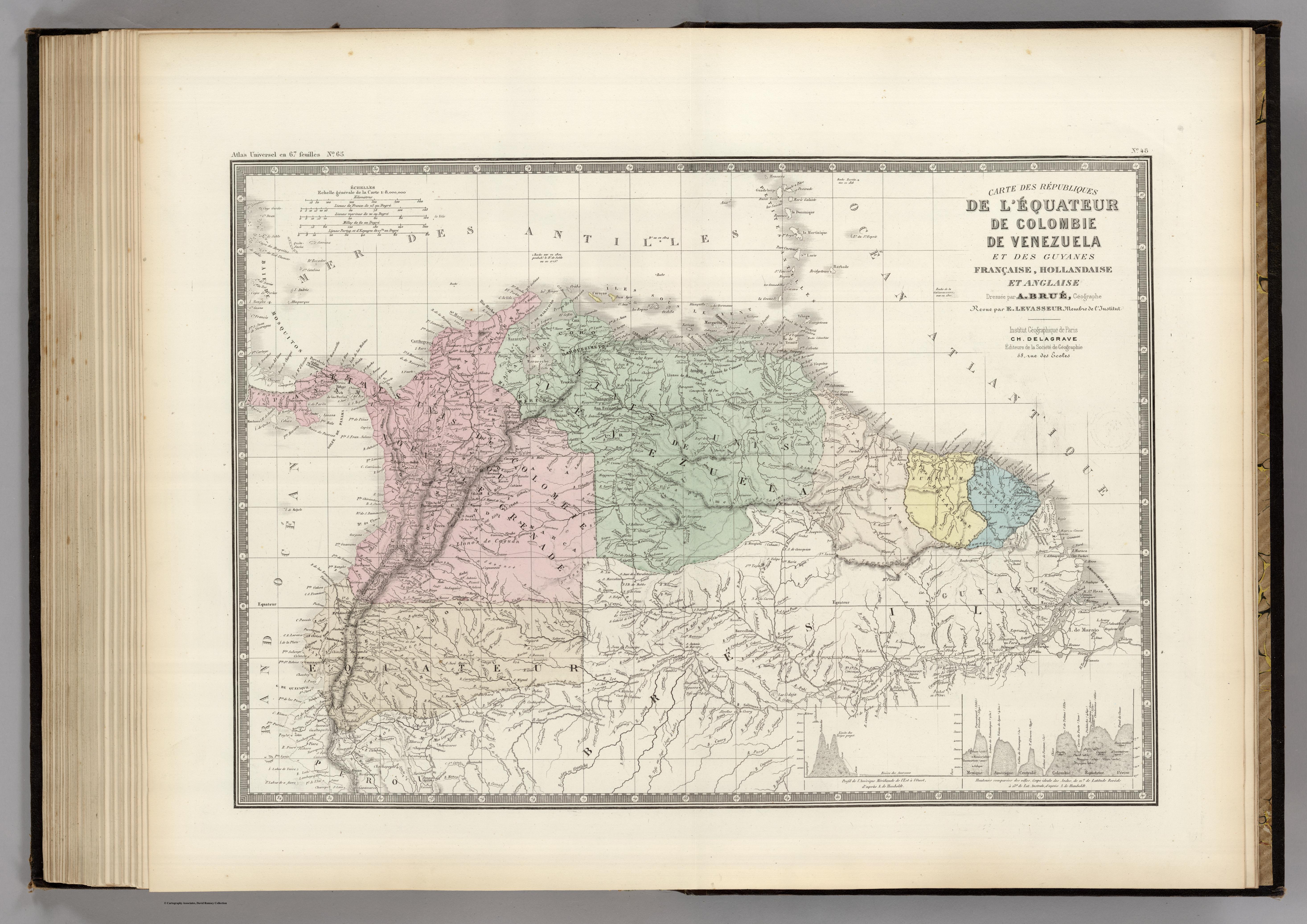
Dispossesions in the Americas

Dispossesions in the Americas

  • Lar
  • Explorar
  • Autores
  • Sobre
  • Arte
  • Corpos
  • Currículos
  • Patrimônio Cultural
  • Mapas
  • Territórios
Voltar à seção Explorar

Lendo em Inglês

Mapa 1875

CARTE DES REPUBLIQUES DE L'EQUATEUR;DE COLOMBIE;DE VENEZUELA;ET GUYANES FRANCAISE;HOLLANDAISE;ET ANGLAISE

  • BRUE;ADRIEN HUBERT ET AL.

Publicado: 1875

  • Baixar Imagens
  • Baixar Imagens

Lendo em Espanhola

Mapa 1875

CARTE DES REPUBLIQUES DE L'EQUATEUR;DE COLOMBIE;DE VENEZUELA;ET GUYANES FRANCAISE;HOLLANDAISE;ET ANGLAISE

  • BRUE;ADRIEN HUBERT ET AL.

Publicado: 1875

  • Baixar Imagens
  • Baixar Imagens
Mapa 1875

CARTE DES REPUBLIQUES DE L'EQUATEUR;DE COLOMBIE;DE VENEZUELA;ET GUYANES FRANCAISE;HOLLANDAISE;ET ANGLAISE

  • BRUE;ADRIEN HUBERT ET AL.

Publicado: 1875

  • Baixar Imagens

Povos

  • GUAJIROS
  • COCINAS
  • COAHIROS
  • GUARAUNOS
  • CARAIBES
  • EMERILLONS
  • GALIBIS
  • OYAMPIS
  • ANDAQUIES
  • GUYAYOS
  • MACOS
  • MANAOS

Citation

Brue, Adrien Hubert, and E. Levasseur. Carte des republiques de l'Equateur, de Colombie, de Venezuela, et Guyanes Francaise, Hollandaise, et Anglaise. Map. Paris: Institut Geographique de Paris, 1875. Accessed December 23, 2022. https://www.davidrumsey.com/luna/servlet/detail/RUMSEY~8~1~202360~3001053:VEN,-Colombie,-l-Equateur,-Gu?sort=pub_list_no_initialsort%2Cpub_list_no_initialsort%2Cpub_date%2Cpub_date.

  • Baixar Imagens

Itens Relacionados

PUEBLO NAHUA DE SAN LUIS POTOSI

PUEBLO NAHUA DE SAN LUIS POTOSI

Mapa 2020
Guaraní en Argentina 2016, Pueblos Guaraníes en América del Sur 2016

Guaraní en Argentina 2016, Pueblos Guaraníes en América del Sur 2016

Mapa 2016
INTENDENCIA DE MICHOACÁN

INTENDENCIA DE MICHOACÁN

Mapa 1800
The coexistence of indigenous peoples and the natural environment in Central America

The coexistence of indigenous peoples and the natural environment in Central America

Mapa 1900 - 1999
Mapa de la Ciudad de Valdivia y territorios de sus cercanías

Mapa de la Ciudad de Valdivia y territorios de sus cercanías

Mapa 1785
"Territorio Indígena Osa (Ngöbes)"

"Territorio Indígena Osa (Ngöbes)"

Mapa 2010
AFBEELDING DER STADT EN FORTRESSEN VAN PARAYBA

AFBEELDING DER STADT EN FORTRESSEN VAN PARAYBA

Mapa 1600 - 1650
Geographic Distribution of the Chatino

Geographic Distribution of the Chatino

Mapa 1969

Desapropriações nas Américas

Um projeto de

University of Pennsylvania

Copyright 2024

Com o apoio de

Mellon Foundation

Projeto e desenvolvimento do site

Element 84

Créditos da arte

Brue, Adrien Hubert, and E. Levasseur. Carte des republiques de l’Equateur, de Colombie, de Venezuela, et Guyanes Francaise, Hollandaise, et Anglaise. Map. Paris: Institut Geographique de Paris, 1875. Accessed December 23, 2022. https://www.davidrumsey.com/luna/servlet/detail/RUMSEY~8~1~202360~3001053:VEN,-Colombie,-l-Equateur,-Gu?sort=pub_list_no_initialsort%2Cpub_list_no_initialsort%2Cpub_date%2Cpub_date.

Páginas do site

  • Lar
  • Explorar
  • Autores
  • Sobre
  • Arte
  • Corpos
  • Currículos
  • Patrimônio Cultural
  • Mapas
  • Territórios