Povos
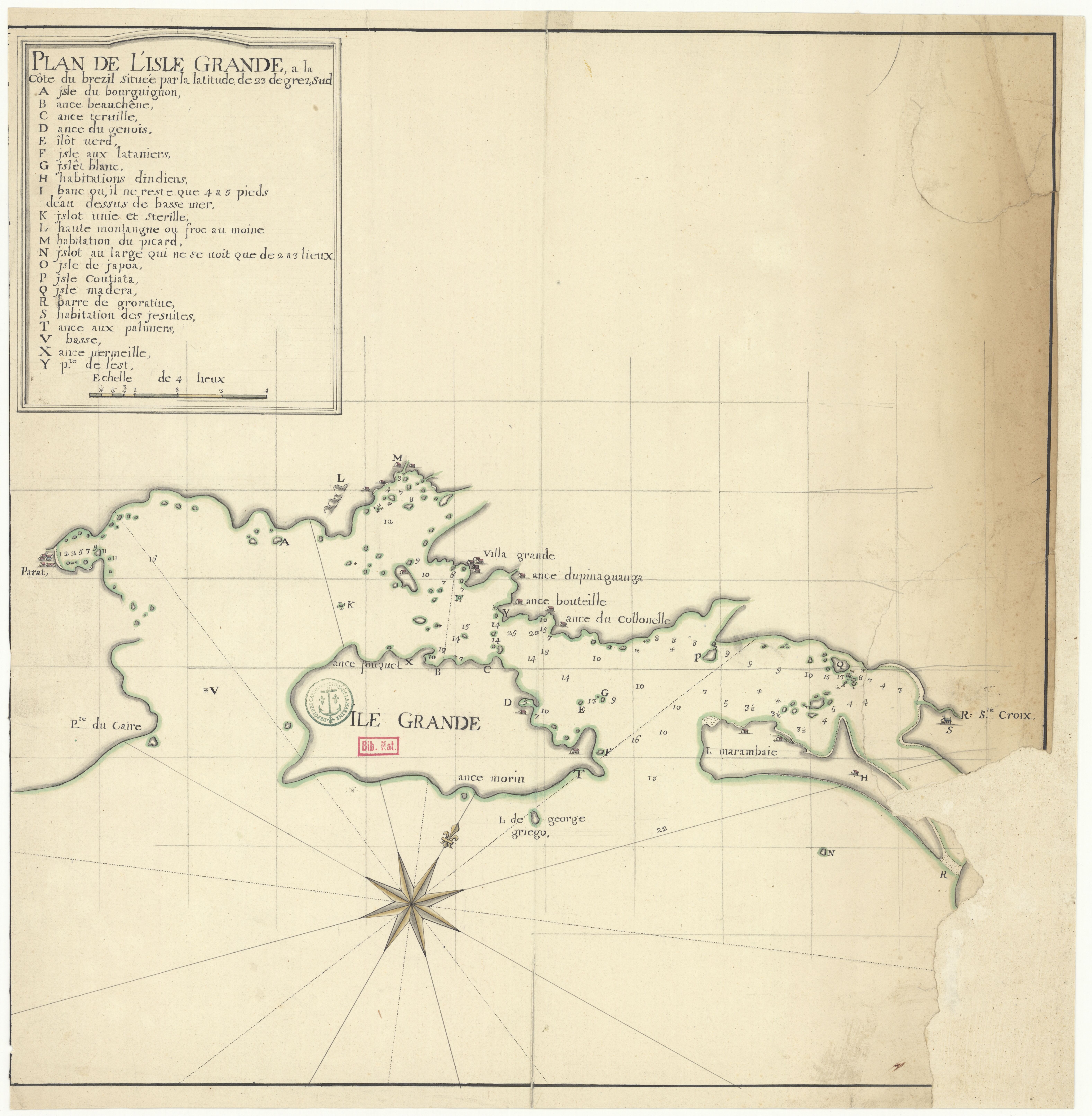
- HABITATIONS DINDIENS
Citation
"Plan de l'isle Grande, à la côte du Brezil." Map. 1720. Accessed August 11, 2023. https://gallica.bnf.fr/ark:/12148/btv1b53121719j/f1.item.
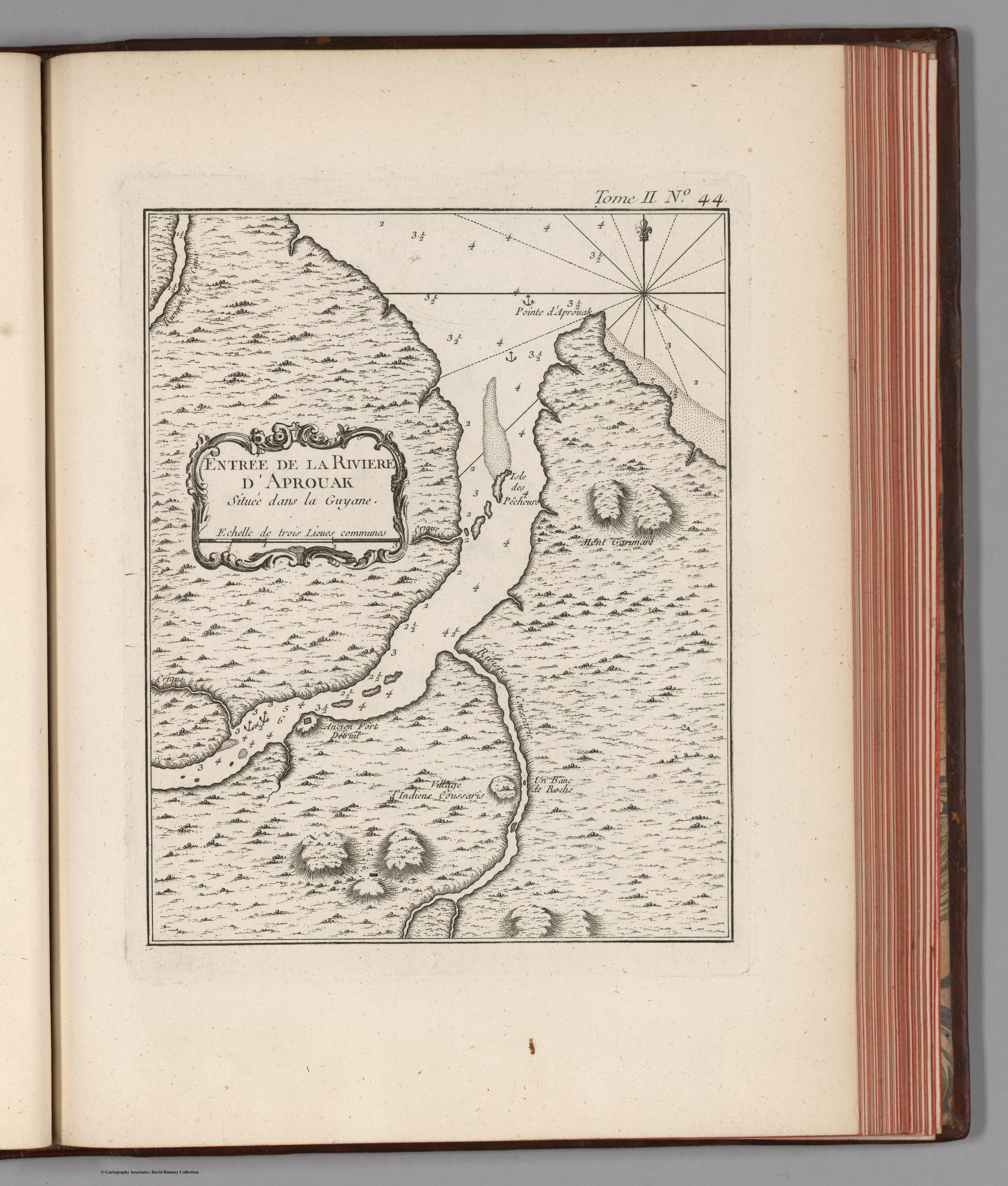
Entree de la Riviere d'Aprouak situee dans la Guyane
Mapa 1767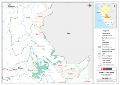
PUEBLO ASHENINKA
Mapa 2021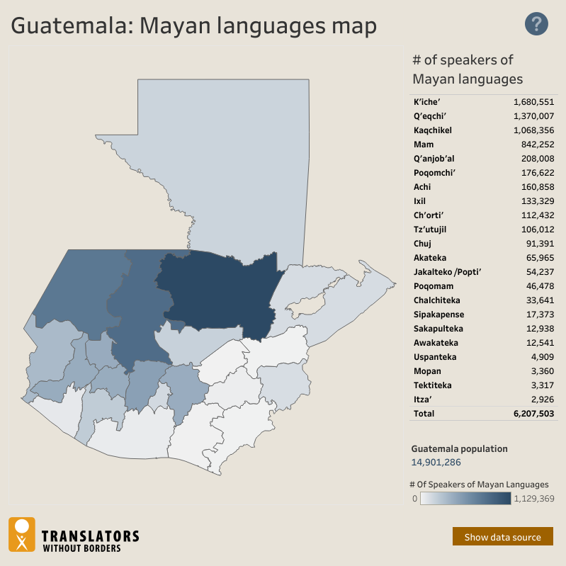
Guatemala: Mayan languages map
Mapa 2018
MAPA DE TIERRAS DE COMUNIDADES NEGRAS
Mapa 2012
Tribes of the Gran Chaco: Locations at the first European contact
Mapa 1524
Mission du ministère de l'instruction publique. Carte de la Guyane. Exploration des Tumuc-Humac, des affluents du Maroni et de l'Oyapock, etc.
Mapa 1887
Railroad Map of British Honduras Transportation Department of the United States Department of Commerce. Library of Congress Geography and Map Division. https://hdl.loc.gov/loc.wdl/wdl.11329
Mapa 1900
Mapa de la Provincia de Chiloé en el Reino de Chile y el número de sus habitantes
Mapa 1785