Povos
- PETIGUAR
- TOPIMANBAZES
Citation
Visscher, Claes Jansz. Afbeelding der stadt en fortressen van Parayba. Map. Amsterdam: C.J. Visscher, 1634. Accessed July 28, 2023. https://gallica.bnf.fr/ark:/12148/btv1b84390955/f1.item.
Pueblos Indios del Norte Chico y Zona Central de Chile en el Siglo XVI y XVII
Mapa 1500 - 1600
PUEBLO RESÍGARO
Mapa 2021
A Map of part of Yucatan or of that Part of the Eastern Shore Within the Bay of Honduras Alloted to Great Britain for the Cutting of Logwood, in consequence of the Convention Signed with Spain on the 14th July 1786.
Mapa 1700
"Territorio Indígena Cabécar de Ujarrás"
Mapa 2010
Ulises
Obra de arte
The modern departments of Ahuachapán, La Libertad, Santa Ana, and Sonsonate (highlighted in red) now contain the highest concentration of Indigenous communities in El Salvador.
Mapa 2010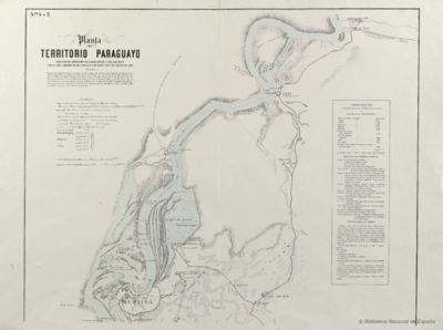
Planta do TERRITORIO PARAGUAYO
Mapa 1865 - 1868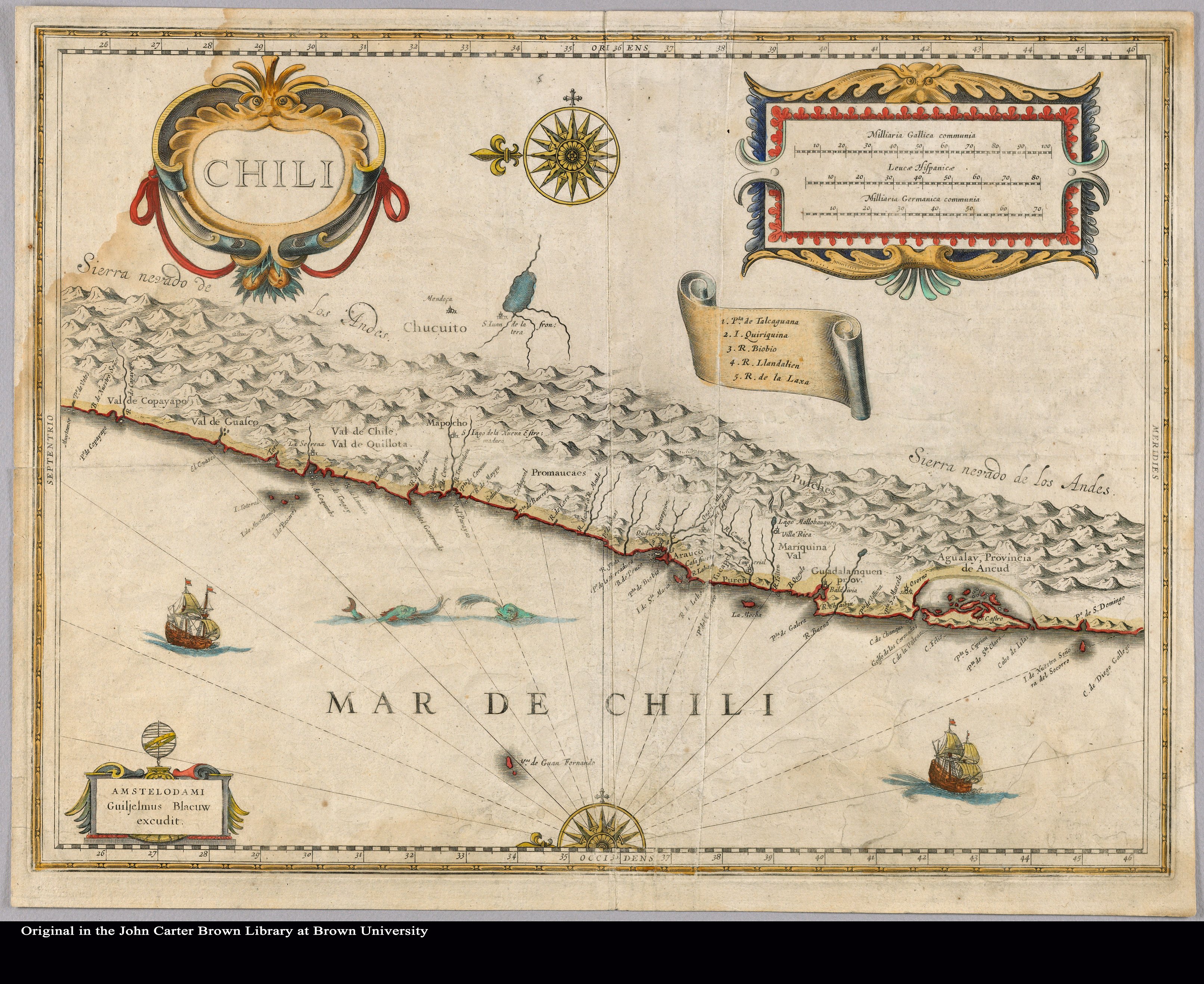
Chili
Mapa 1663