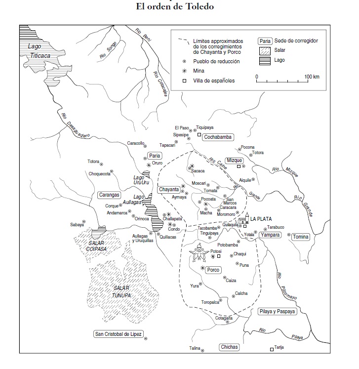
Povos
- GIPOROKS
- POTE
- POJICHA
Citação
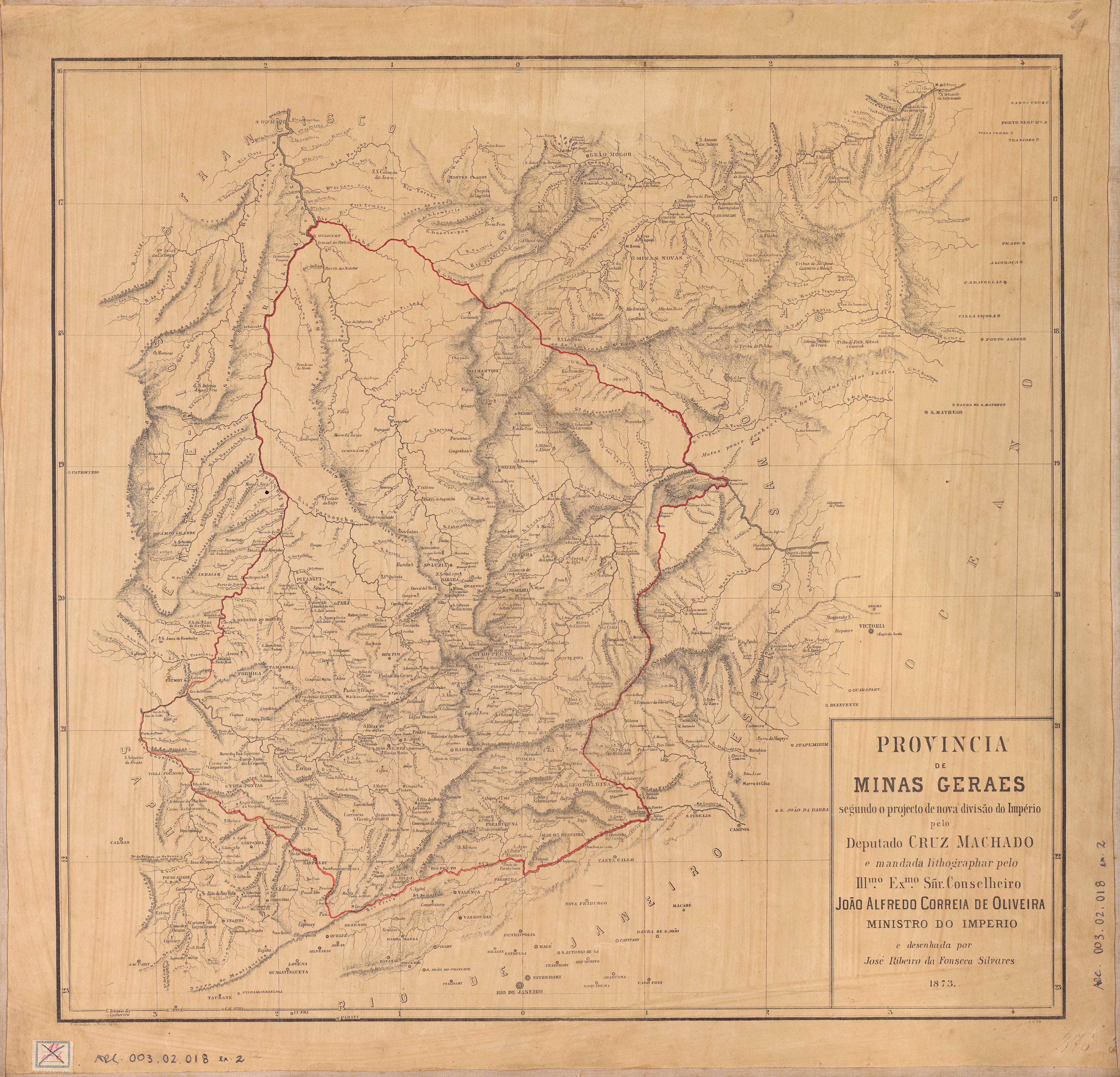
Machado, Antonio Cãndido da Cruz. Provincia de Minas Geraes. Map. Rio de Janeiro: Lith. do Archivo Militar, 1874. Accessed July 18, 2023. http://www.siaapm.cultura.mg.gov.br/modules/grandes_formatos_docs/photo.php?lid=151.