Povos
- INDIAN HABITATIONS
Citação
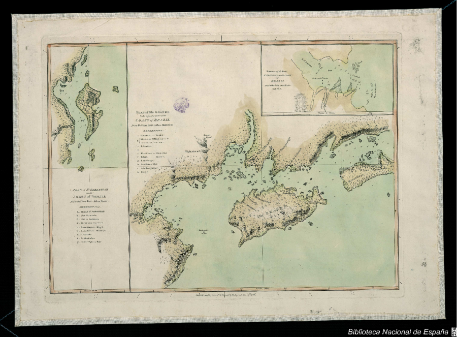
Bellin, Jacques Nicolas. Plan of the Isle Grande & the adjacent parts of the Coast of Brazil. Map. London: Alexander Dalrymple, 1786. Accessed July 18, 2023. http://bdh.bne.es/bnesearch/detalle/bdh0000033697.
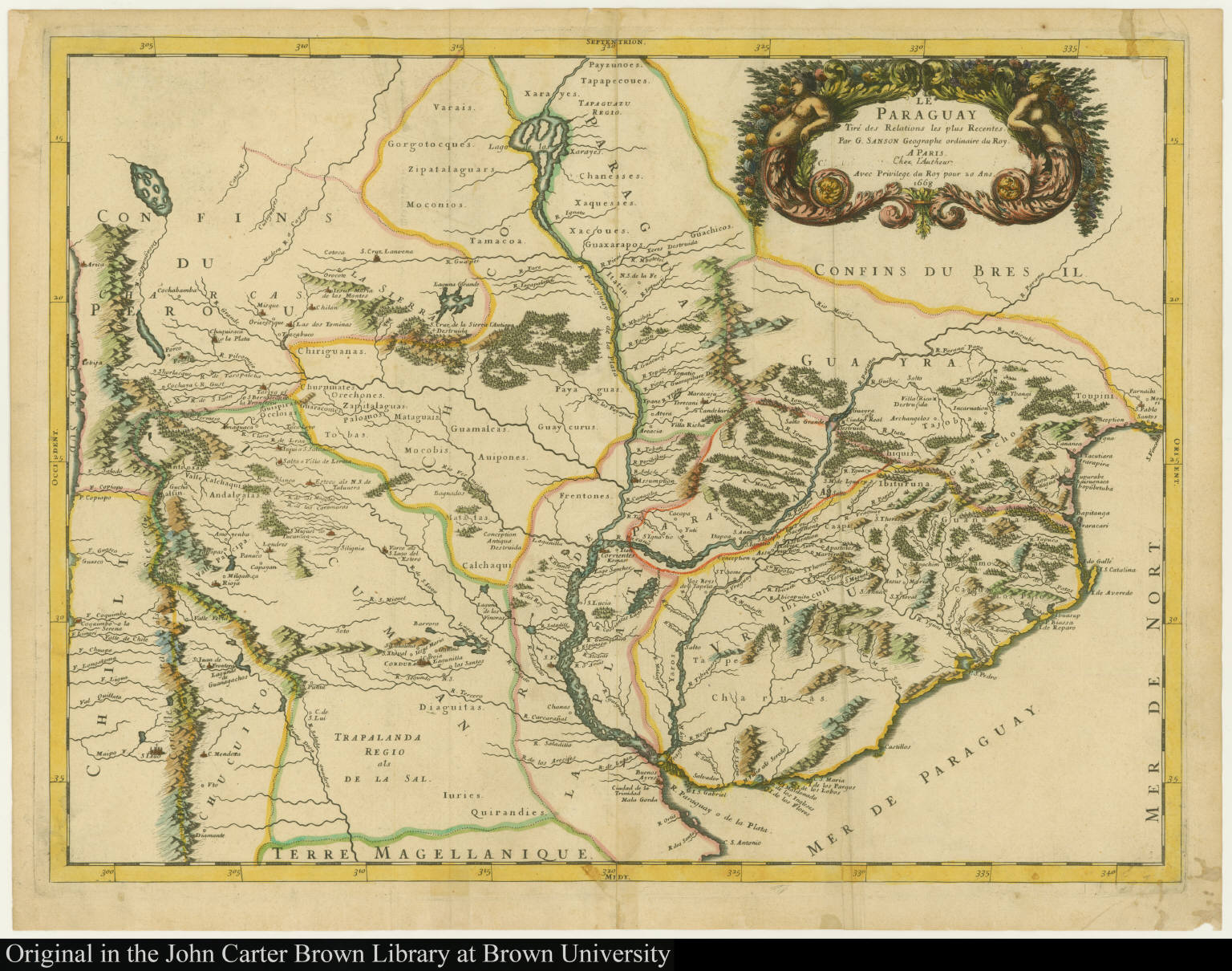
Le Paraguay Tiré des Relations les plus Recentes
Mapa 1668
7
Obra de arte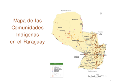
Mapa de las Comunidades Indígenas en el Paraguay
Mapa 2004
Movilizaciones indígenas, mapas e historias por la propiedad de la tierra en el chaco argentino. La lucha de las familias tobas por poxoŷaxaic alhua.
Mapa 2004
ESTADOS UNIDOS DO BRAZIL
Mapa 1902
TERRE FERME ou sont les governations ou gouvernemens de Terre ferme;Cartagene Ste. Marthe;Rio de la Hache;Venezuela;nouvelle Andalusie Popayein;nouveau royme de Grenade;&c
Mapa 1656
Cuba
Mapa 1900 - 1999
REPRESENTACIÓN EN FORMA DE TRÍPTICO DE LAS TIERRAS DE TEPAL;CUENCA;CORRESPONDE AL EXPEDIENTE PROMOVIDO POR POSESIÓN DE TIERRAS ENTRE LOS INDÍGENAS DE SANTA ANA DE PICHACAY CONTRA MARÍA Y FRANCISCA CAZAR
Mapa 1828