
Citation
United States Department of Commerce, Transportation Department. 1920. "Railroad Map of British Honduras." https://hdl.loc.gov/loc.wdl/wdl.11329
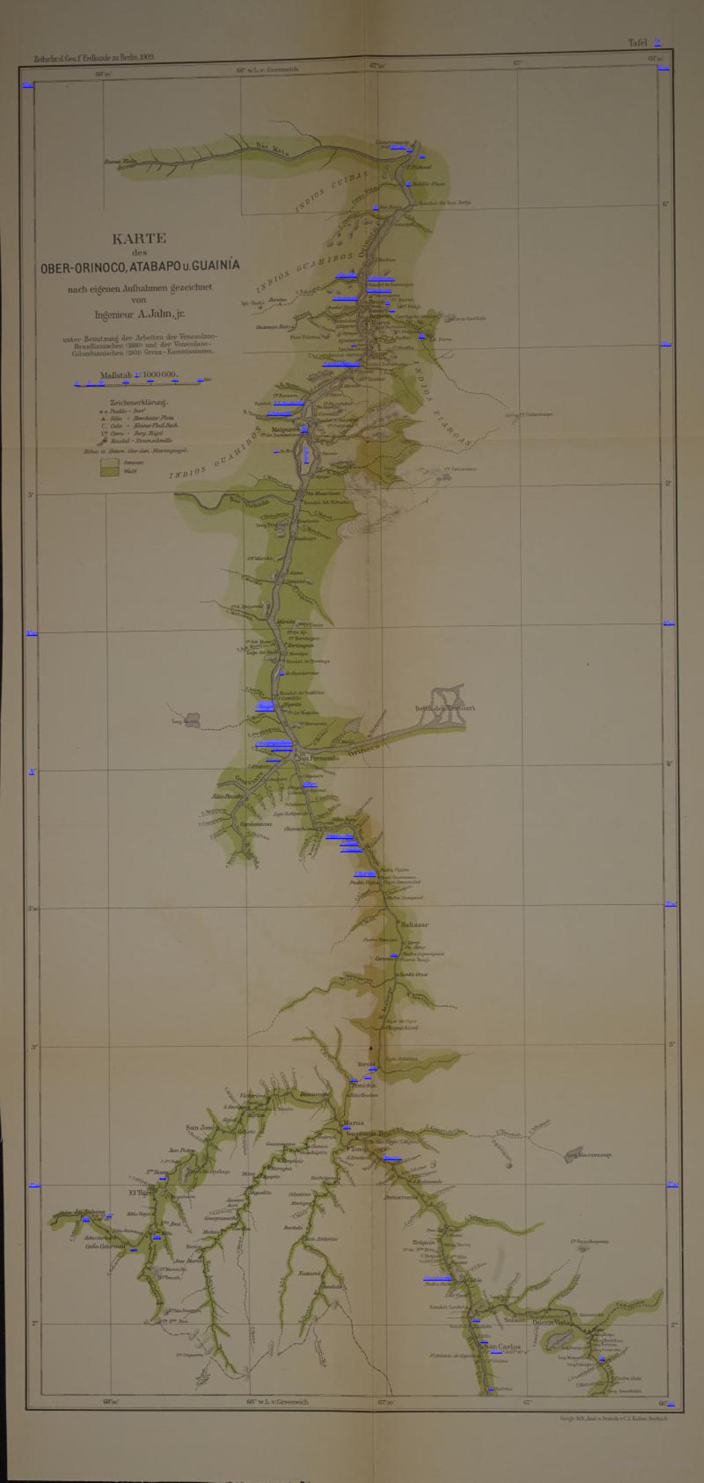
KARTE des OBER-ORINOCO;ATABAPO U GUAINÍA
Mapa 1909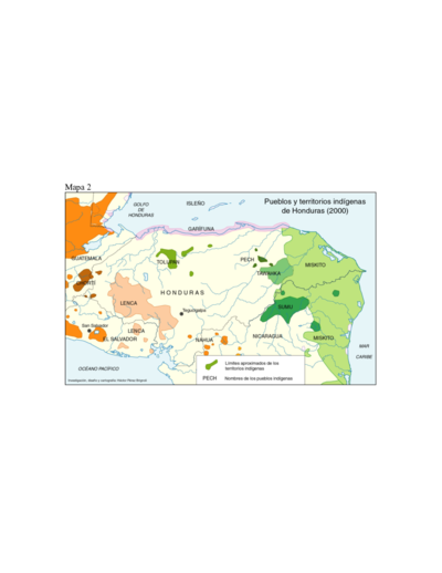
Pueblos y territorios indígenas de Honduras (2000)
Mapa 2000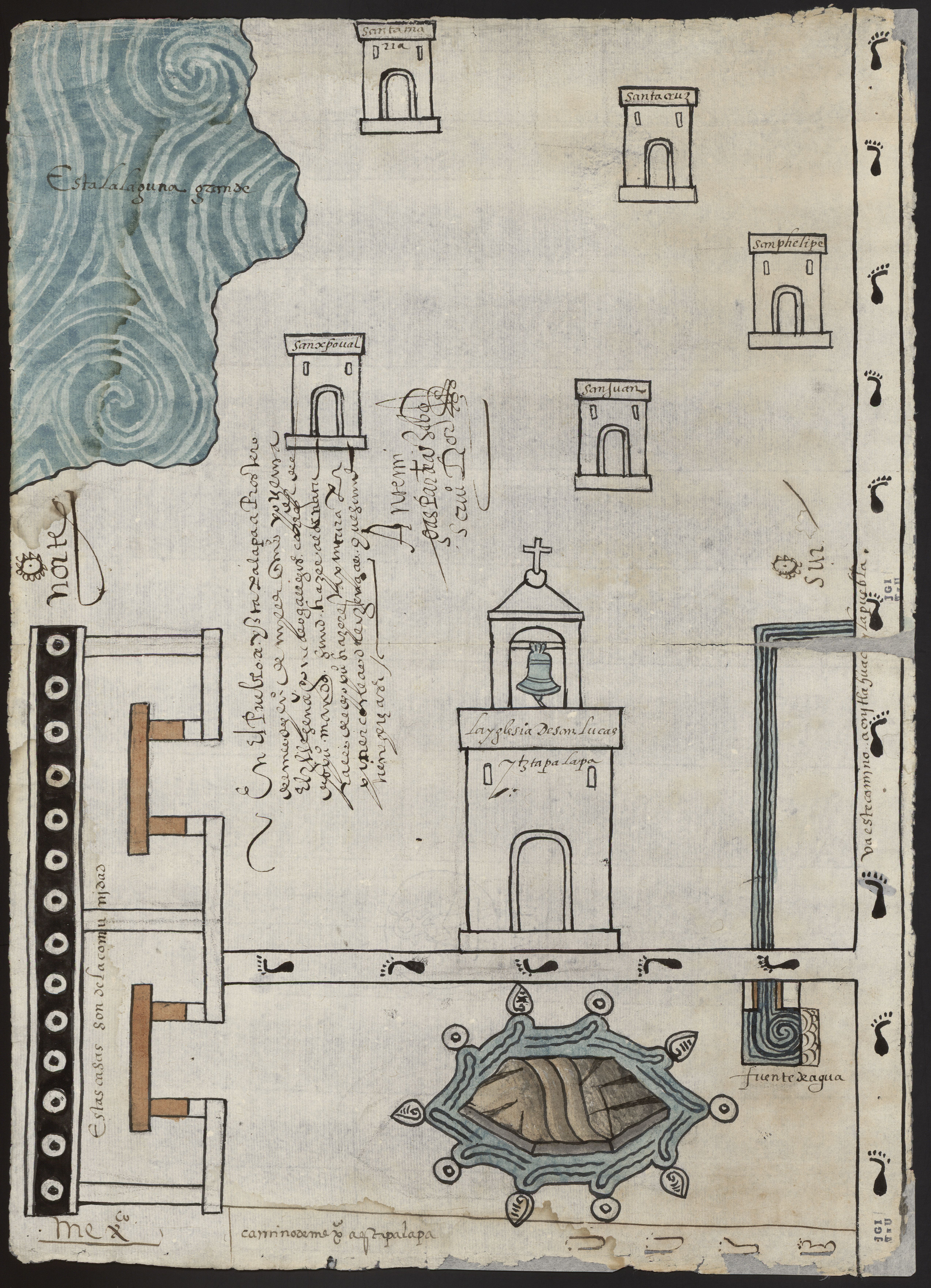
PINTURA DE IZTAPALAPA
Mapa 1500 - 1599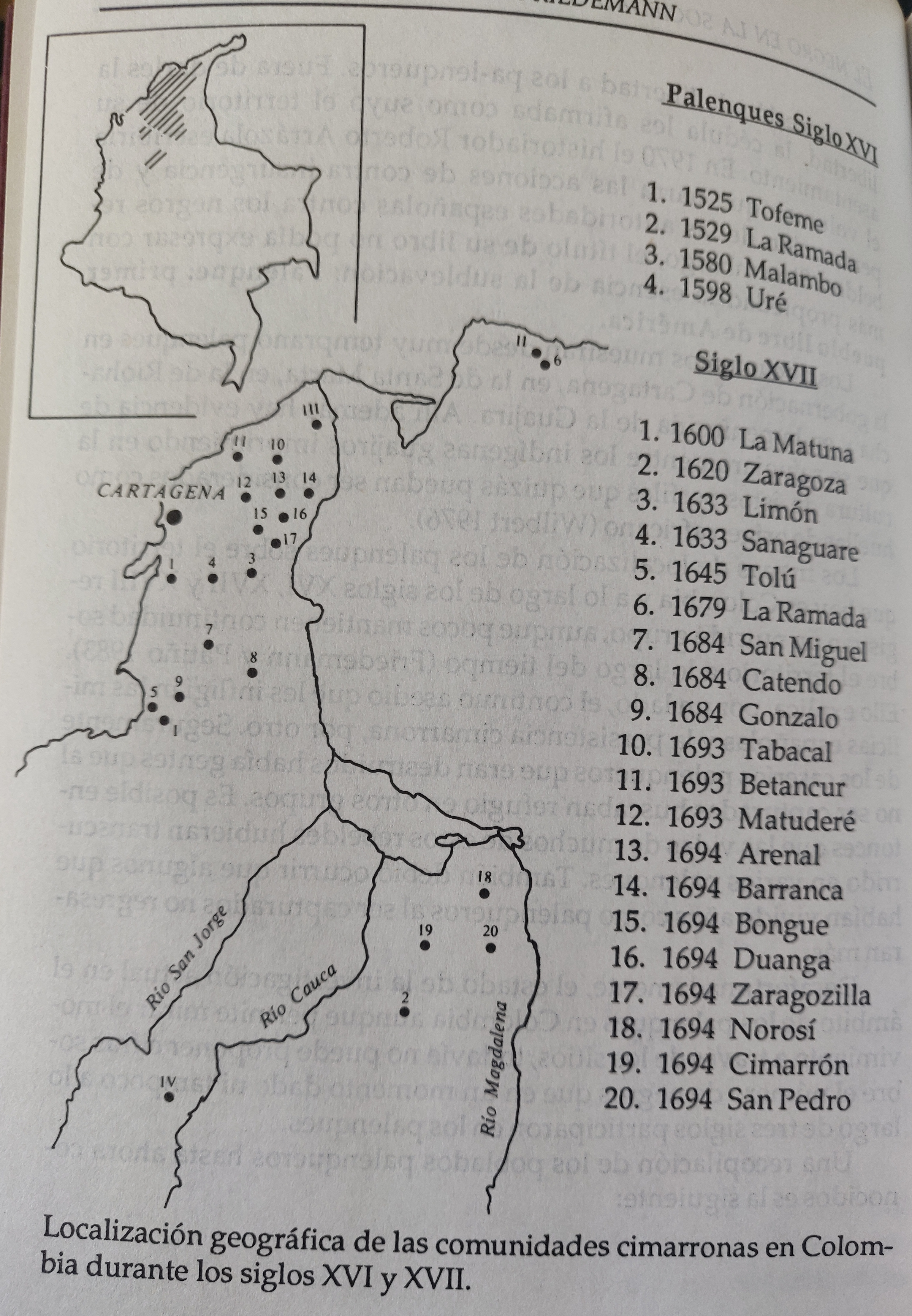
LOCALIZACION GEOGRAFICA DE LAS COMUNIDADES CIMARRONAS EN COLOMBIA DURANTE LOS SIGLOS XVI Y XVII
Mapa 1500 - 1699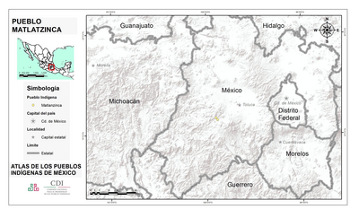
PUEBLO MATLATZINCA
Mapa 2020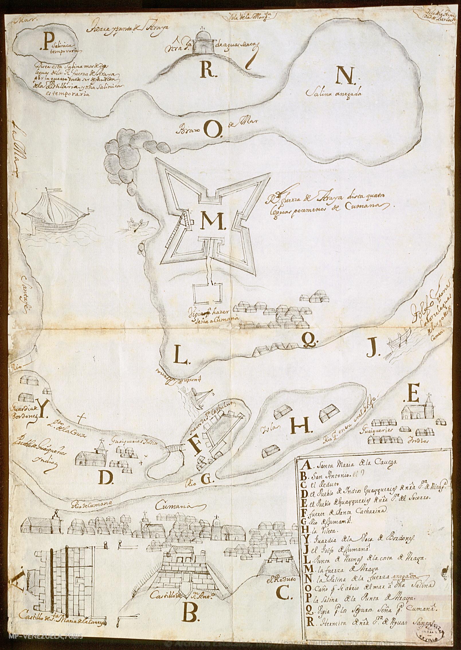
No Title
Mapa 1725
A Gente Rio
Obra de arte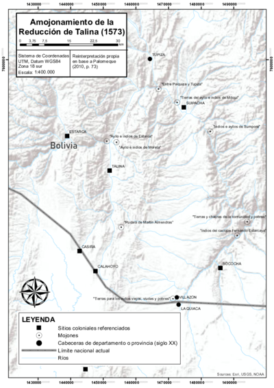
DEMARCACIÓN DE LÍMITES DEL PUEBLO REAL DE INDIOS (REDUCCIÓN) DE TALINA (1573)
Mapa 1573