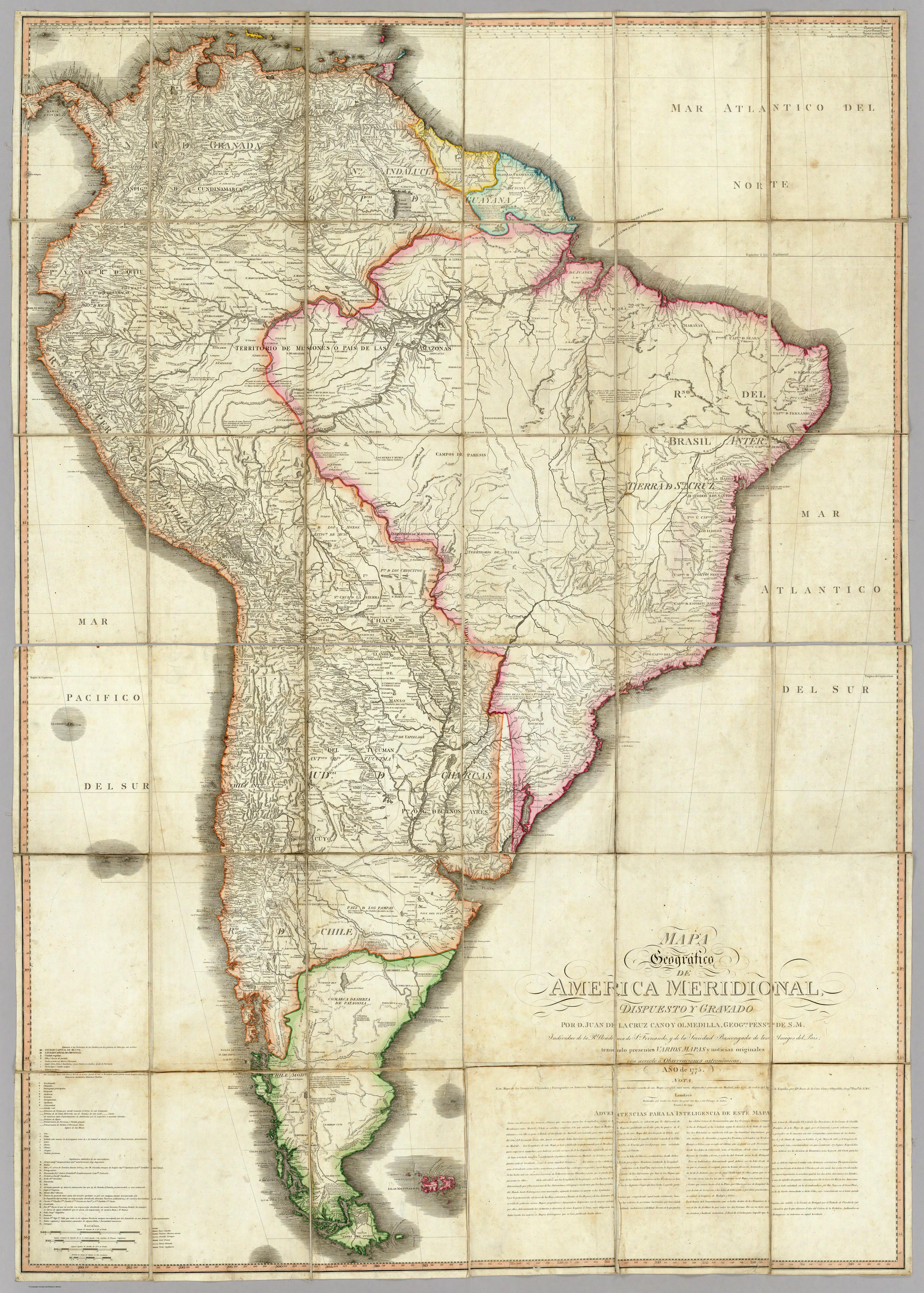
Dispossesions in the Americas

Dispossesions in the Americas

  • Inicio
  • Explorar
  • Autores
  • Sobre
  • Arte
  • Cuerpos
  • Planes de Estudio
  • Herencia Cultural
  • Mapas
  • Territorios
Volver a Explorar

Leyendo en Inglés

Mapa 1881

Karte des Bifurcations Gebietes des ORINOKO und RIO NEGRO (AMAZONENSTROMS)

  • MONTOLIEU;F.

Publicado: 1881

  • Descargar Imágen
  • Descargar Imágen
Mapa 1881

Karte des Bifurcations Gebietes des ORINOKO und RIO NEGRO (AMAZONENSTROMS)

  • MONTOLIEU;F.

Publicado: 1881

  • Descargar Imágen

Pueblos

  • JIVI
  • PIAROA
  • CURACHICANAS
  • YAVARANA
  • YEKUANA
  • ABERIANA
  • MUCUCHIES
  • YAVITERO
  • QUEREQUENAS
  • MANDAWAKA
  • BARIA
  • PACIMONARIS
  • CUNIPASANAS
  • AZANENI
  • BANIVA
  • CARUSANAS

Cita

Montolieu;F. Karte des Bifurcations Gebietes des Orinoko und Rio Negro. Map. Deutsche Rundschau für Geographie und Statistik;1881. Accessed February 26;2023. https://photos.google.com/share/AF1QipNVdN9CqKjLxx5Ar1sTWTlvVFtux8HIRu5_mmgV_uM6g6Y4fD9qpRVyFGBVzwv_4w/photo/AF1QipMy7oBrbdiCXlBRsOtcj0olfcCFhswym23LuEvv?key=X3lqZGN3TXdJVk05bWN0OU54amFtNjNTdFd3VDVB.

  • Descargar Imágen

Leyendo en Portugués

Mapa 1881

Karte des Bifurcations Gebietes des ORINOKO und RIO NEGRO (AMAZONENSTROMS)

  • MONTOLIEU;F.

Publicado: 1881

  • Descargar Imágen

Pueblos

  • JIVI
  • PIAROA
  • CURACHICANAS
  • YAVARANA
  • YEKUANA
  • ABERIANA
  • MUCUCHIES
  • YAVITERO
  • QUEREQUENAS
  • MANDAWAKA
  • BARIA
  • PACIMONARIS
  • CUNIPASANAS
  • AZANENI
  • BANIVA
  • CARUSANAS

Cita

Montolieu;F. Karte des Bifurcations Gebietes des Orinoko und Rio Negro. Map. Deutsche Rundschau für Geographie und Statistik;1881. Accessed February 26;2023. https://photos.google.com/share/AF1QipNVdN9CqKjLxx5Ar1sTWTlvVFtux8HIRu5_mmgV_uM6g6Y4fD9qpRVyFGBVzwv_4w/photo/AF1QipMy7oBrbdiCXlBRsOtcj0olfcCFhswym23LuEvv?key=X3lqZGN3TXdJVk05bWN0OU54amFtNjNTdFd3VDVB.

  • Descargar Imágen

Artículos Relacionados

MAPA Geográfico DE AMERICA MERIDIONAL

MAPA Geográfico DE AMERICA MERIDIONAL

Mapa 1775
Golden Stream

Golden Stream

Mapa 1997
Fig. 1 Map of the Guianas with schematic locations of the
indigenous groups relevant to our study, based on the linguistic
map of South America (http://www.muturzikin.com/cartesamerique/
7.htm). Carib-speaking groups are indicated in yellow, Arawak-speaking
groups in blue, Tupi-speaking Wayãpi in pink and the Warao-speaking
group in green

Fig. 1 Map of the Guianas with schematic locations of the indigenous groups relevant to our study, based on the linguistic map of South America (http://www.muturzikin.com/cartesamerique/ 7.htm). Carib-speaking groups are indicated in yellow, Arawak-speaking groups in blue, Tupi-speaking Wayãpi in pink and the Warao-speaking group in green

Mapa 2000 - 2024
SKETCH MAP OF THE CAPUCHIN MISSIONS IN GUAYANA ABOUT 1779

SKETCH MAP OF THE CAPUCHIN MISSIONS IN GUAYANA ABOUT 1779

Mapa 1779
Carta étnica del Gran Chaco en el umbral del s. XX

Carta étnica del Gran Chaco en el umbral del s. XX

Mapa 1890 - 1935
Plano General de las Nuevas Fronteras sobre La Pampa.

Plano General de las Nuevas Fronteras sobre La Pampa.

Mapa 1877
Carte de l'Amérique Méridionale dressée par Alcide d'Orbigny. d'aprés ses itinéraires sur les parties qu'il à
parcourues servant à l'intelligence de son voyage et de ses observations sur l'homme américain

Carte de l'Amérique Méridionale dressée par Alcide d'Orbigny. d'aprés ses itinéraires sur les parties qu'il à parcourues servant à l'intelligence de son voyage et de ses observations sur l'homme américain

Mapa 1829
Der Nordliche Theil von Sud-America

Der Nordliche Theil von Sud-America

Mapa 1800 - 1899

Despojos en las Américas

Un Proyecto de

University of Pennsylvania

Copyright 2024

Con el apoyo de

Mellon Foundation

Diseño y Desarrollo del Sitio

Element 84

Créditos Artísticos

Montolieu;F. Karte des Bifurcations Gebietes des Orinoko und Rio Negro. Map. Deutsche Rundschau für Geographie und Statistik;1881. Accessed February 26;2023. https://photos.google.com/share/AF1QipNVdN9CqKjLxx5Ar1sTWTlvVFtux8HIRu5_mmgV_uM6g6Y4fD9qpRVyFGBVzwv_4w/photo/AF1QipMy7oBrbdiCXlBRsOtcj0olfcCFhswym23LuEvv?key=X3lqZGN3TXdJVk05bWN0OU54amFtNjNTdFd3VDVB.

Páginas del Sitio

  • Inicio
  • Explorar
  • Autores
  • Sobre
  • Arte
  • Cuerpos
  • Planes de Estudio
  • Herencia Cultural
  • Mapas
  • Territorios