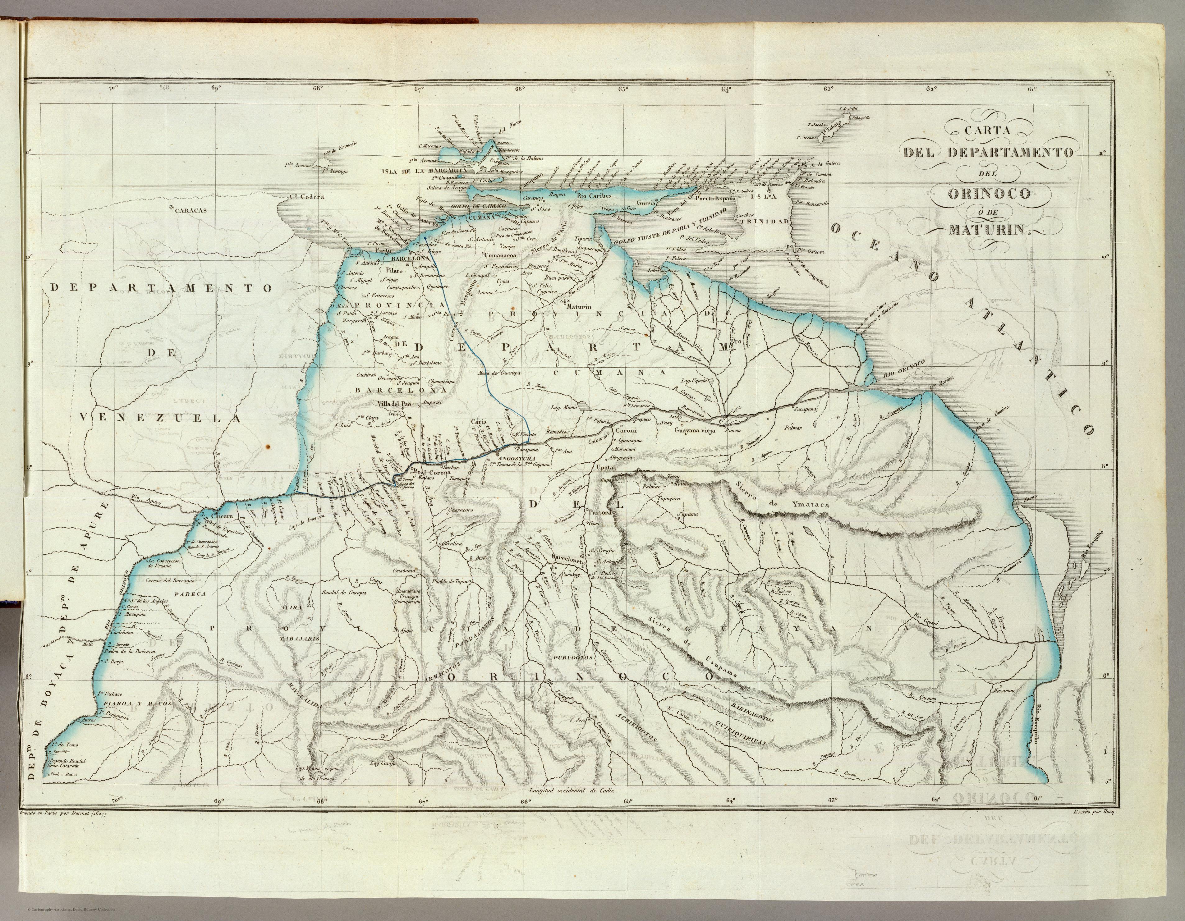
Dispossesions in the Americas

Dispossesions in the Americas

  • Inicio
  • Explorar
  • Autores
  • Sobre
  • Arte
  • Cuerpos
  • Planes de Estudio
  • Herencia Cultural
  • Mapas
  • Territorios
Volver a Explorar

Leyendo en Inglés

Mapa 1827

CARTA DEL DEPARTAMENTO DEL ORINOCO O DE MATURIN

  • RESTREPO;JOSE MANUEL

Publicado: 1827

  • Descargar Imágen
  • Descargar Imágen
Mapa 1827

CARTA DEL DEPARTAMENTO DEL ORINOCO O DE MATURIN

  • RESTREPO;JOSE MANUEL

Publicado: 1827

  • Descargar Imágen

Pueblos

  • PURUGOTO
  • PAUDACOTOS
  • ARNACOTO
  • TABAJARI
  • AVIRA
  • PAREKA
  • PIAROA
  • MACOS
  • MAYGUALIDA
  • ACHIRIGOTO
  • QUIRIQUIRIPAS
  • PEMON

Citas

Restrepo;Jose Manuel. Carta del Departamento del Orinoco o de Maturin. Map. Paris: Libreria Americana;1827. Accessed December 28;2022. https://www.davidrumsey.com/luna/servlet/detail/RUMSEY~8~1~20372~590081:Orinoco-?sort=pub_list_no_initialsort%2Cpub_list_no_initialsort%2Cpub_date%2Cpub_date.

  • Descargar Imágen

Artículos Relacionados

Pueblos Indígenas y Ecosistemas Naturales en Centroamérica y el Sur de México

Pueblos Indígenas y Ecosistemas Naturales en Centroamérica y el Sur de México

Mapa 2000 - 2024
Enlhet

Enlhet

Mapa 2001
REGIÓN SELVA LACANDONA

REGIÓN SELVA LACANDONA

Mapa 2000
Terra Indígena Guarani do Aguapeú

Terra Indígena Guarani do Aguapeú

Mapa 2011
LE BRESIL, dont la Coste est posse dée par les portugais et divisée en Quatorze Capitanieries.

LE BRESIL, dont la Coste est posse dée par les portugais et divisée en Quatorze Capitanieries.

Mapa 1656
Outlines of the physical and political division of South America: Delineated by A. Arrowsmith partly from scarce and original documents, published before the year 1806 but principally from manuscript maps & surveys made between the years 1771 and 1806, corrected from accurate astronomical observations to 1810.

Outlines of the physical and political division of South America: Delineated by A. Arrowsmith partly from scarce and original documents, published before the year 1806 but principally from manuscript maps & surveys made between the years 1771 and 1806, corrected from accurate astronomical observations to 1810.

Mapa 1800 - 1899
PUEBLO VACACOCHA

PUEBLO VACACOCHA

Mapa 2021
Indian Languages, Late 16th Century, (According to Ponce and Viana).

Indian Languages, Late 16th Century, (According to Ponce and Viana).

Mapa 1500

Despojos en las Américas

Un Proyecto de

University of Pennsylvania

Copyright 2024

Con el apoyo de

Mellon Foundation

Diseño y Desarrollo del Sitio

Element 84

Créditos Artísticos

Restrepo;Jose Manuel. Carta del Departamento del Orinoco o de Maturin. Map. Paris: Libreria Americana;1827. Accessed December 28;2022. https://www.davidrumsey.com/luna/servlet/detail/RUMSEY~8~1~20372~590081:Orinoco-?sort=pub_list_no_initialsort%2Cpub_list_no_initialsort%2Cpub_date%2Cpub_date.

Páginas del Sitio

  • Inicio
  • Explorar
  • Autores
  • Sobre
  • Arte
  • Cuerpos
  • Planes de Estudio
  • Herencia Cultural
  • Mapas
  • Territorios