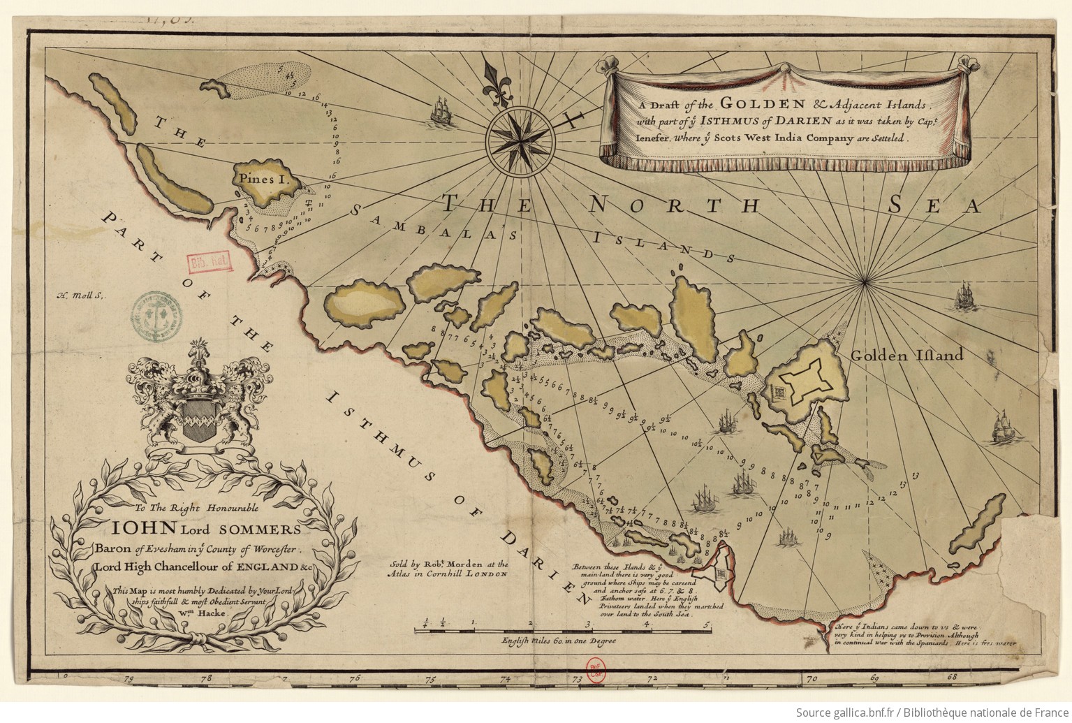
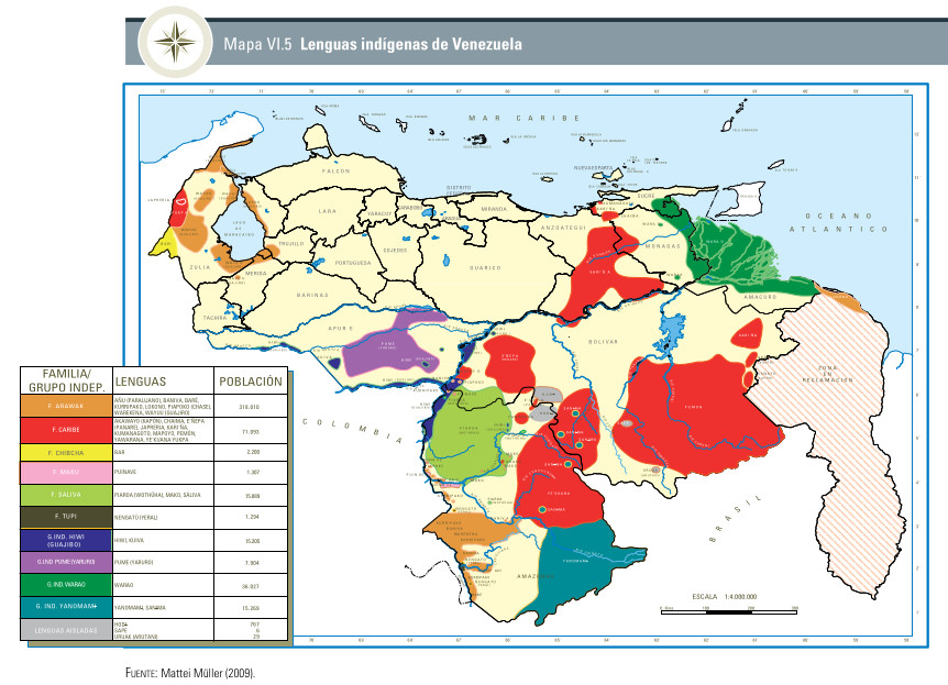
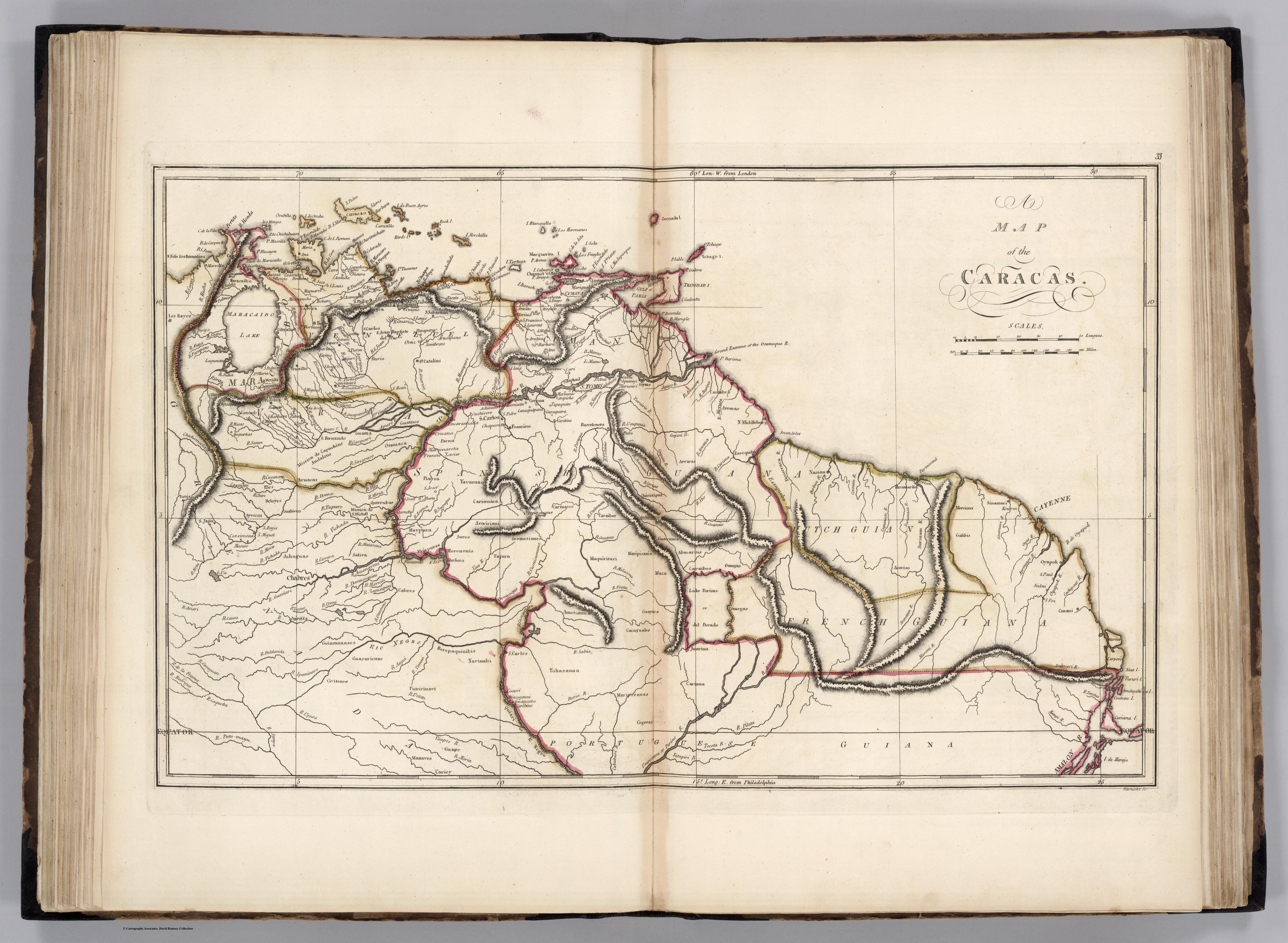
Dispossesions in the Americas

Dispossesions in the Americas

  • Inicio
  • Explorar
  • Autores
  • Sobre
  • Arte
  • Cuerpos
  • Planes de Estudio
  • Herencia Cultural
  • Mapas
  • Territorios
Volver a Explorar

Leyendo en Inglés

Mapa 1818

A MAP of the CARACAS

  • CAREY;MATHEW

Publicado: 1818

  • Descargar Imágen
  • Descargar Imágen
Mapa 1818

A MAP of the CARACAS

  • CAREY;MATHEW

Publicado: 1818

  • Descargar Imágen

Pueblos

  • GUARUANA
  • MARIUSAS
  • ARAWAK
  • QUIRIORIPAS
  • ACHIRIGOTO
  • CARIBE
  • CARINACO
  • PAREKA
  • YAVARANA
  • PIAROA
  • GUAMOS
  • OTOMACO
  • ARUACA
  • QUIRRUBAS
  • JIVI
  • ACHAGUA
  • MAIPURE
  • ABERIANA
  • JURES
  • YAJURE
  • MEJEPURE
  • SALIVA
  • OCOMESIANA
  • YE'KUANA
  • MARIPISANAS
  • MACOS
  • GUARANOS
  • ABACARA
  • AMOIZANA
  • GUAICAS
  • CACAGUALES
  • TOHASUANA
  • MARIPISANAS
  • COGENAS
  • OMEGAS
  • JUARIUA
  • CARIANA
  • CABERRE
  • COSINAS
  • PUTCIRINAVI
  • BEREPAQUINABIS
  • NAVINABI
  • CHABRES
  • AYROCOS
  • BELOYES
  • ELES
  • GUIAMANASES
  • GUASURIENNE
  • CIVITENES
  • ACURIAS
  • GUAPE
  • MANAVES
  • CARIEY
  • MERCIOUX
  • PARAMARIBO
  • GALIBIS

Citas

Carey;Mathew. A Map of the Caracas. Map. Philadelphia: M. Carey and Son;1818. Accessed December 27;2022. https://www.davidrumsey.com/luna/servlet/detail/RUMSEY~8~1~207358~3003021:The-Caracas-?sort=pub_list_no_initialsort%2Cpub_date%2Cpub_list_no%2Cseries_no#.

  • Descargar Imágen

Artículos Relacionados

Carte Depuis l'Amazone jusqu'à la Riviere de Marony aux Hollandois.

Carte Depuis l'Amazone jusqu'à la Riviere de Marony aux Hollandois.

Mapa 1743
EL SEÑORÍO  AYMARA DE LOS SURAS: COLONIAS DE SURA BAJO EL DOMINIO INCA EN EL SIGLO XVI

EL SEÑORÍO AYMARA DE LOS SURAS: COLONIAS DE SURA BAJO EL DOMINIO INCA EN EL SIGLO XVI

Mapa 1500 - 1599
LE BRESIL, dont la Coste est posse dée par les portugais et divisée en Quatorze Capitanieries.

LE BRESIL, dont la Coste est posse dée par les portugais et divisée en Quatorze Capitanieries.

Mapa 1656
Map of the Inca Empire in western South America

Map of the Inca Empire in western South America

Mapa 1310 - 1525
PUEBLO TOJOLABAL

PUEBLO TOJOLABAL

Mapa 2020
Plano de la Yntendencia de Arequipa. Hecho de orden del Exmo. Sor.  Virrey Fr. Dn. Francisco Gil y Lemos, año de 1792

Plano de la Yntendencia de Arequipa. Hecho de orden del Exmo. Sor. Virrey Fr. Dn. Francisco Gil y Lemos, año de 1792

Mapa 1792
EL SEÑORÍO  AYMARA DE LOS SURAS: COLONIAS DE SURA BAJO EL DOMINIO INCA EN EL SIGLO XVI

EL SEÑORÍO AYMARA DE LOS SURAS: COLONIAS DE SURA BAJO EL DOMINIO INCA EN EL SIGLO XVI

Mapa 1500 - 599
Sitios arqueológicos del Lago de Amatitlán, con lugares de ofrendas acuáticas.

Sitios arqueológicos del Lago de Amatitlán, con lugares de ofrendas acuáticas.

Mapa 2011

Despojos en las Américas

Un Proyecto de

University of Pennsylvania

Copyright 2024

Con el apoyo de

Mellon Foundation

Diseño y Desarrollo del Sitio

Element 84

Créditos Artísticos

Carey;Mathew. A Map of the Caracas. Map. Philadelphia: M. Carey and Son;1818. Accessed December 27;2022. https://www.davidrumsey.com/luna/servlet/detail/RUMSEY~8~1~207358~3003021:The-Caracas-?sort=pub_list_no_initialsort%2Cpub_date%2Cpub_list_no%2Cseries_no#.

Páginas del Sitio

  • Inicio
  • Explorar
  • Autores
  • Sobre
  • Arte
  • Cuerpos
  • Planes de Estudio
  • Herencia Cultural
  • Mapas
  • Territorios