Pueblos
- CHARRUAS
- GUENOA-MINUANES
- TAPES
- PAYAGOAS
- GUAYCANAS
Cita
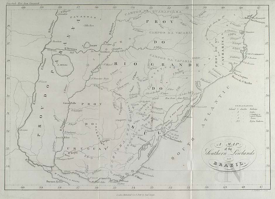
Lucook, John. A Map of the Southern Lowlands of Brazil. Map. London: Samuel Leigh, 1820. Accessed August 6, 2022. https://purl.pt/103/1/Catalogo-digital/registo/253/253.html.
No Title
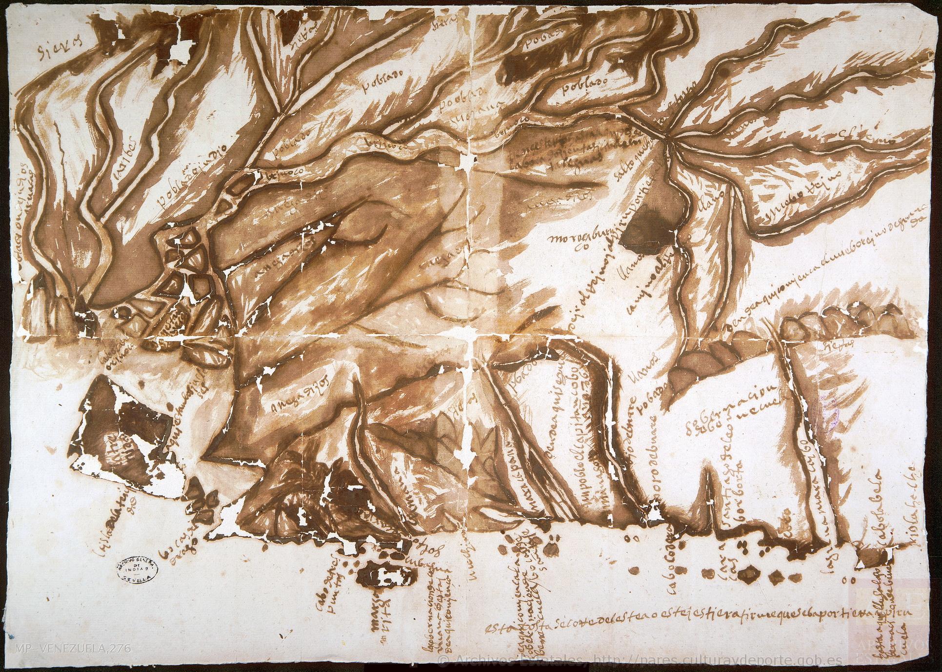
Mapa 1590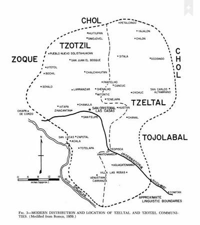
Modern Distribution and Location of Tzetzal and Tzotzil Communities
Mapa 1959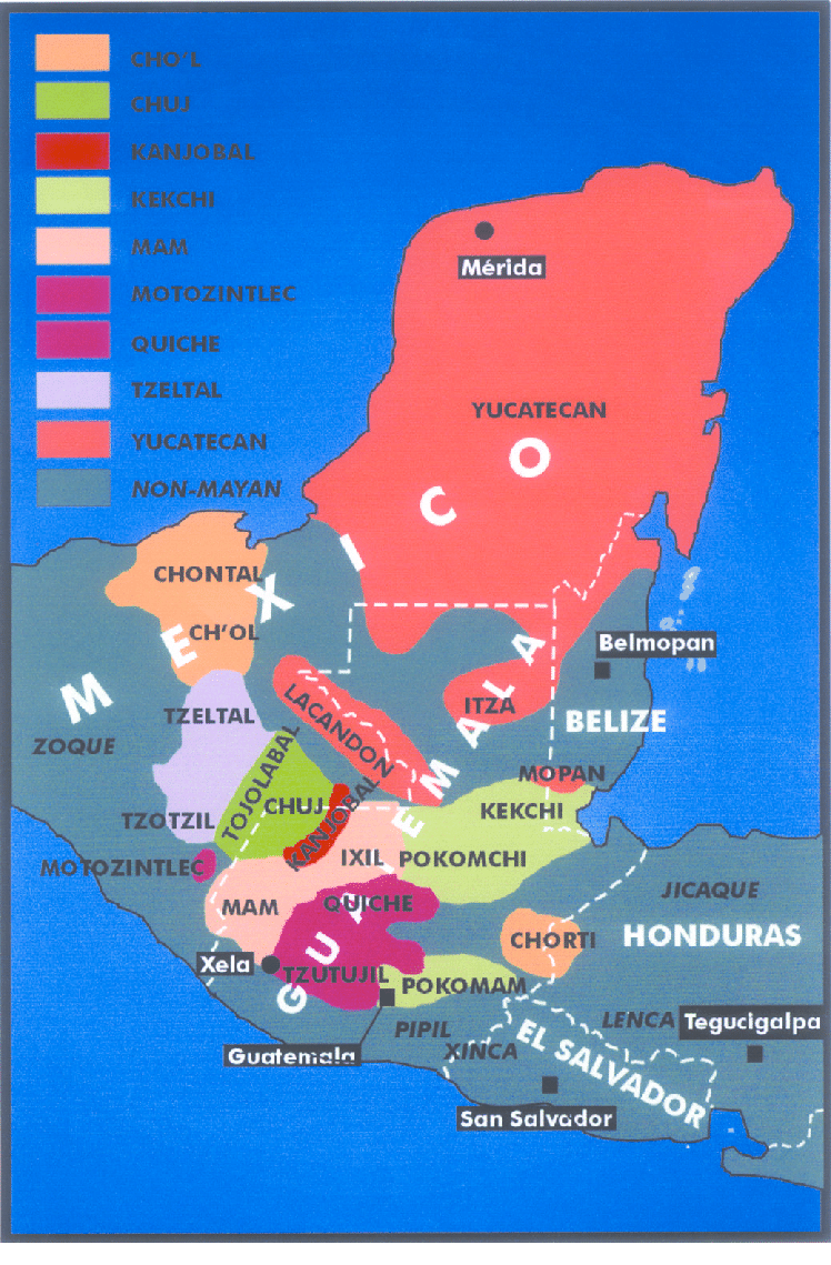
Origin of Mayans according to HLA genes and the uniqueness
Mapa
CASIQUIARE;RIO ATABAPO;ET COURS INFERIEUR DE I’YNIRIDA
Mapa 1872 - 1876
QOM
Mapa 2015
CARTA GEOGRÁFICA DE UNA GRAN PARTE DE LA AMERICA SEPTENTRIONAL
Mapa 1832![[Carte manuscrite de l'Isthme et la Baye de Panama et contrées adjacentes]](https://dnet8ble6lm7w.cloudfront.net/maps/PAN/PAN0015.jpeg)
[Carte manuscrite de l'Isthme et la Baye de Panama et contrées adjacentes]
Mapa 1730 - 1760
REGIÓN MAYO-YAQUI
Mapa 2000