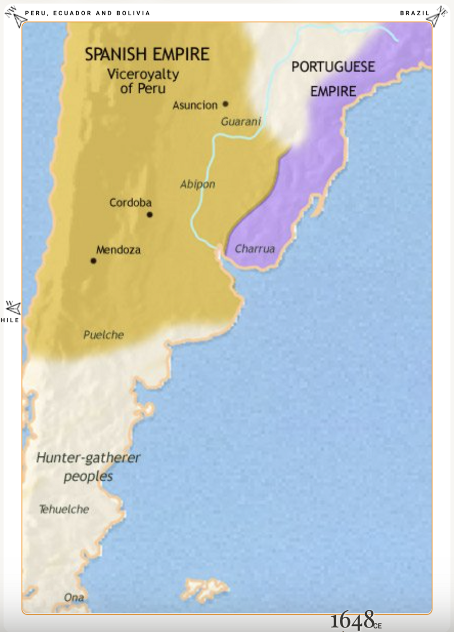
Pueblos
- CHARRUA
- GUARANI
- PUELCHE
- TEHUELCHE
- ONA
- ABIPON
Cita
"Argentina, Paraguay and Uruguay 1648 CE." Map. Time Maps. Accessed January 23, 2022. https://www.timemaps.com/history/argentina-1648ad/.
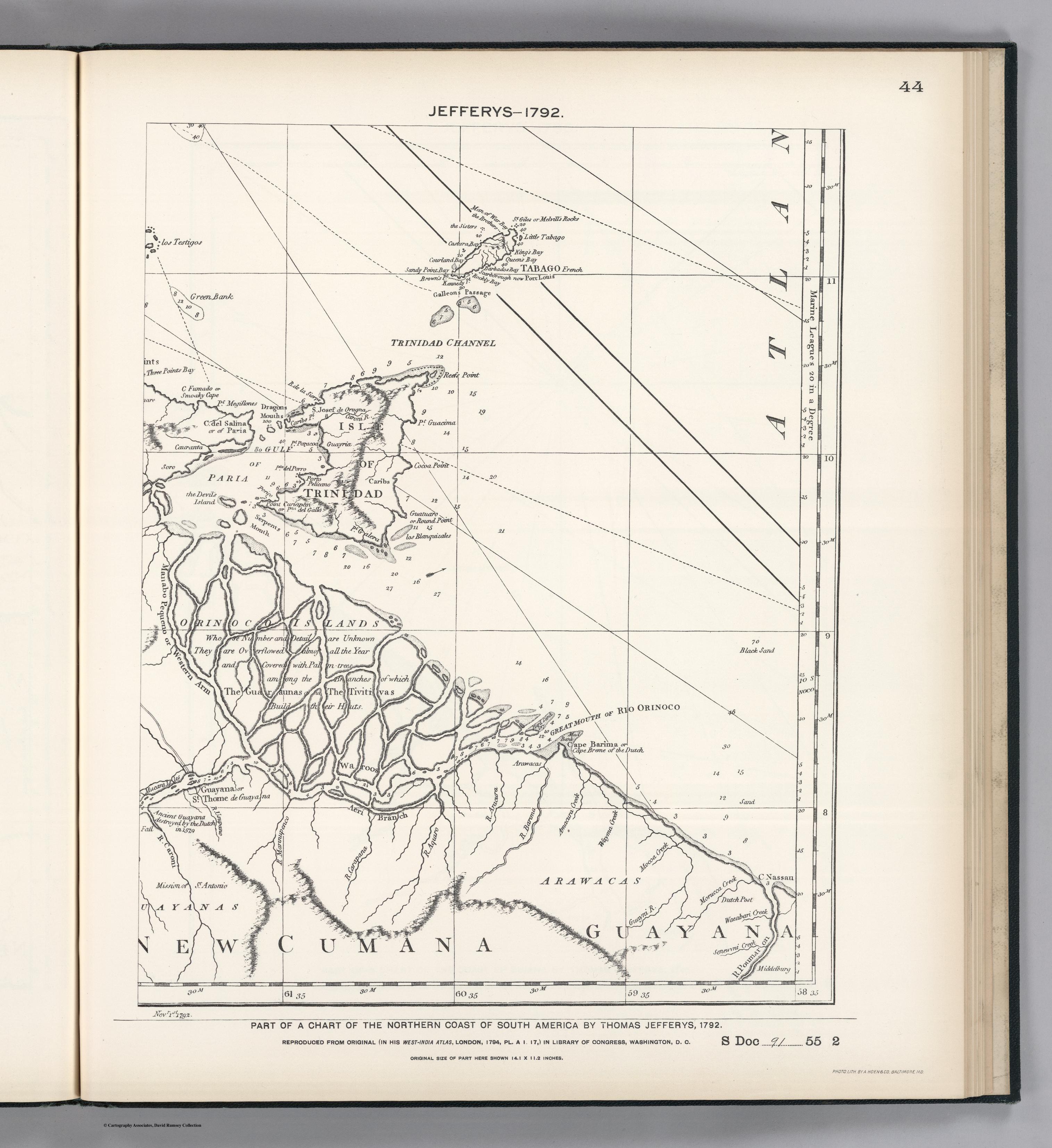
PART OF A CHART OF THE NORTHERN COAST OF SOUTH AMERICA BY THOMAS JEFFERYS
Mapa 1792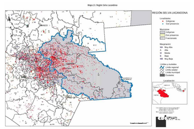
REGIÓN SELVA LACANDONA
Mapa 2000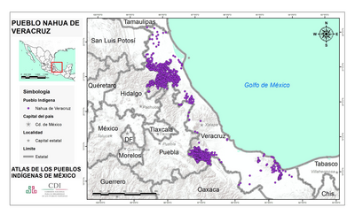
PUEBLO NAHUA DE VERACRUZ
Mapa 2020
Foodtopia: después de todo territorio
Obra de Arte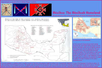
Mexico at the time of the conquest (1519), showing the extent of the Culhua Mexica (Aztec Empire) and of the Maya holdings
Mapa 1519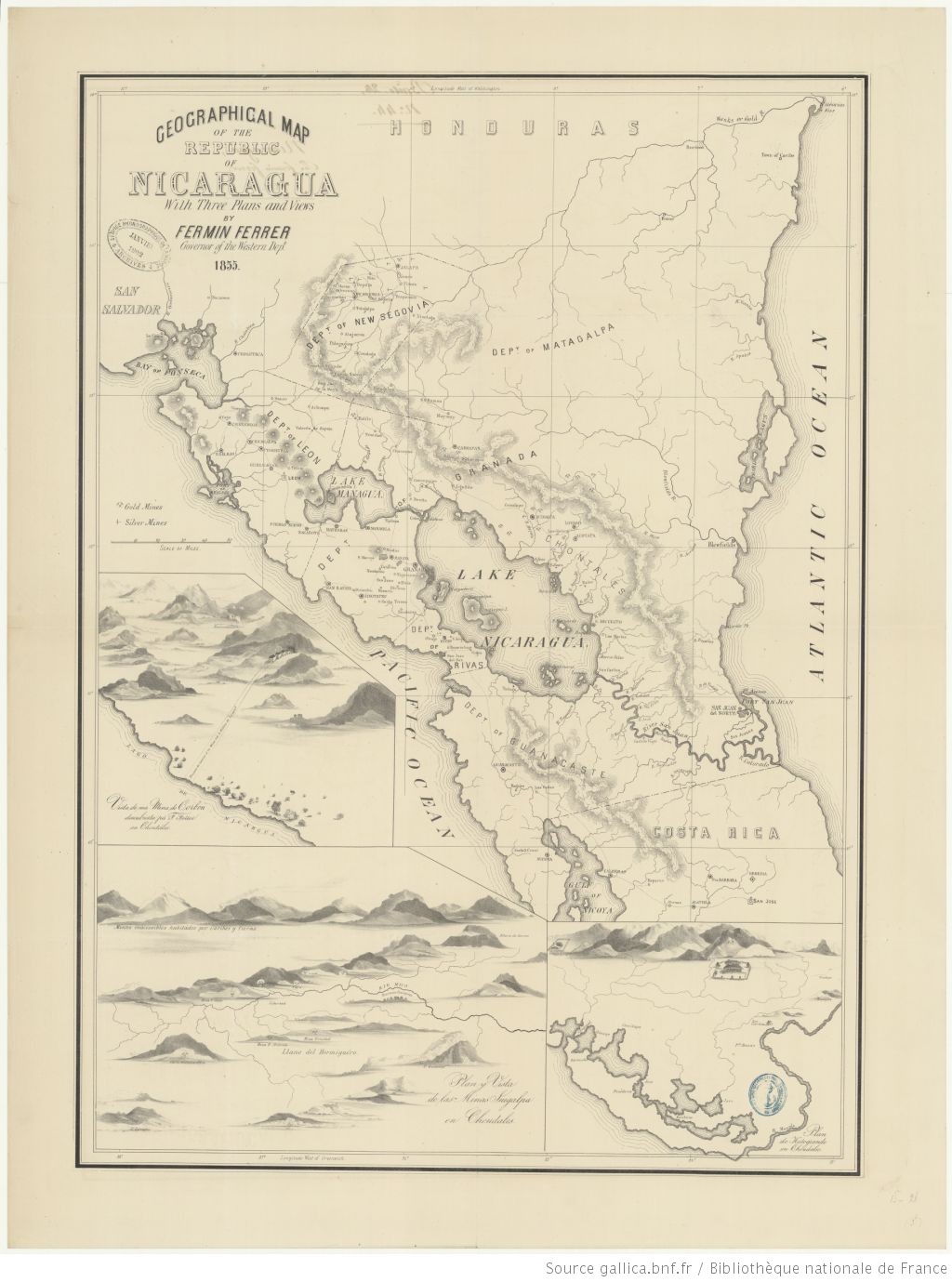
Geographic Map of the Nicaragua with three plans and views.
Mapa 1855
Serie Mito y Religión
Obra de Arte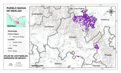
PUEBLO NAHUA DE HIDALGO
Mapa 2020